Water scarcity is one of the main global challenges in the coming years. Indeed, the combined effects of Climate Change and population growth mean a serious risk. Hydrological models are the right tool to conduct climate impact assessments on water resources. Those models are the scientific base to develop climate-risk management plans.
The latest IPCC report devotes a chapter to water resources. According to the report, for every degree of temperature increase, an additional 7% of the world’s population will suffer water shortages. Furthermore, shifts in precipitation and snowfall patterns will bring changes in aquifer recharge.
Regions that already face shortages of water resources are among the most affected by the drop in groundwater recharges. Besides, these regions might face more frequent droughts, due to the expected rise in climate variability. Public and private institutions in these countries must develop new hydrological plans.
Hydrological models provide scientific evaluation of climate impacts in water resources. The hydrological plans must be based in these climate impact assessments.
There are several hydrological models available. Among all of them, MIKE-SHE is perhaps the most used model in climate impact assessments in water resources. However, in the last few years a strong international movement prioritizes “open sources” to models of closed code and little transparency.
Therefore, models like SWAT became popular. SWAT is an “open source” model developed by the US Department of Agriculture and the University of Texas.
SWAT simulates, at watershed level, the impact of soil management practices on runoff, sediment, nutrients, and chemicals.
The model uses a physically-based water balance, to determine the entry, exit and storage of water in the basin.
SWAT divides the watershed into sub-basins. These Hydrological response units (HRU) depend on the different types of soil, slope and coverings.
However, SWAT does not simulate the behavior of aquifers. Groundwater means more than 95% of the world’s water resources. Particularly, Climate Change and its associated rising sea levels would increase groundwater salinization. This is one of the greatest threats to water resources. SWAT cannot simulate groundwater salinization, but other hydrological models such as the “open source” model MODFLOW can.
The MODFLOW model, developed by the US Geological Survey, is a three-dimensional model that solves the flow equations by finite difference methods. MODFLOW is actually a family of programs, covering several of the simulation needs related to the management and protection of aquifers. MODFLOW simulates climatic hazards as well.
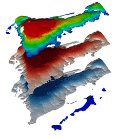
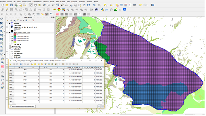
The Horizon 2020 European project FREEWAT developed an open source platform to link MODFLOW with QGIS.
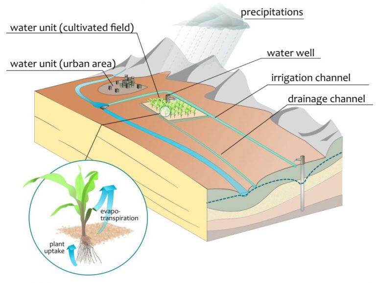
FREEWAT is actually a QGIS plugin, an Open Source Geographic Information System. FREEWAT aims to facilitate the implementation of the EU Water Framework Directive and other European water policies. The FREEWAT platform can be also very useful in climate impact assessments on water resources.
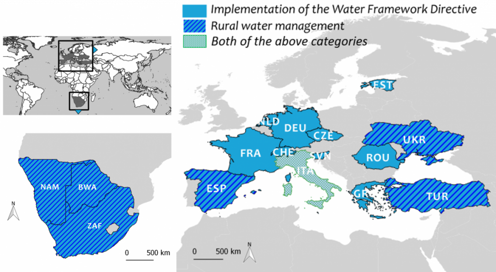
As composite plugin, FREEWAT is designed as a modular ensemble of different tools: some of them can be used independently, while some modules require the preliminary execution of other tools.
The plugin was therefore tested in 14 case studies, covering different regions and water management issues.
FREEWAT case study: Evaluating reliability of an EU Nitrate Directive program
We simulated nitrate pollution of waters in a Nitrate Vulnerable Zone (NVZ), due to agricultural practices. Simulation comprised several “scenarios”, related to the local policy.
More than 70 different crops are cultivated in the NVZ area. Fertilization and irrigation management depend on the crop and on the particular farmer conditions. Small-size farms mean a significant percent of total irrigation and fertilization.
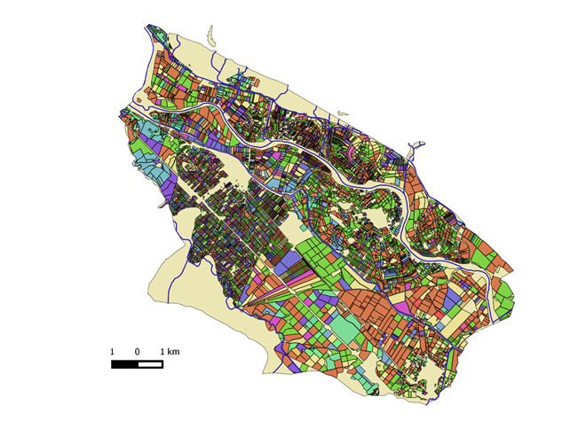
Simulation results indicated that Maize and Winter cereals are the most important contributors to the leached nitrogen. Vegetables contributes with 18% of the total leached nitrogen, although they mean less than 10% of the cropped area.

