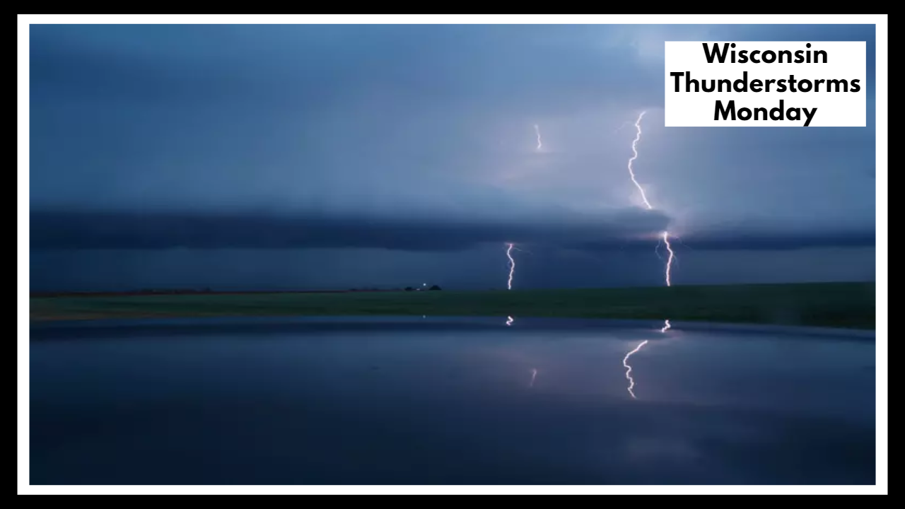
60 MPH Winds? Here’s What the Wisconsin Thunderstorms Monday Could Bring to Your Backyard
If you live in Wisconsin, you’ll want to keep an eye on the sky this Monday. The Wisconsin Thunderstorms Monday forecast is shaping up to bring some intense, fast-moving weather — including strong winds up to 60 mph, pea- to quarter-sized hail, and heavy rain that could hit between noon and 8 p.m. Whether you’re driving, working outdoors, or just trying to enjoy the day, these storms could make things complicated quickly.
What’s Really Headed Our Way?
This storm system is being pushed by a cold front sweeping across the state. While that sounds pretty typical for summer, this front has just enough instability and moisture to stir up some trouble. According to the National Weather Service, storms will start forming in north-central parts of the state by late morning and push east into the afternoon and evening.
So what can you expect from the Wisconsin Thunderstorms Monday event?
-
Damaging wind gusts around 60 mph that could knock down branches or cause isolated power outages.
-
Small hail that might not look dangerous but could still dent cars, damage gardens, or harm livestock.
-
Downpours that could cause sudden visibility issues on the road.
-
And, of course, plenty of lightning, which is always a danger when you’re outdoors.
If you’ve got plans outside — mowing the lawn, boating, heading to a baseball game — this is your heads-up to stay alert and flexible.
Why This Storm Window Matters
Even though this may not be a tornado outbreak, storms like these can still cause real damage and disruption. Wind gusts this strong can take down trees and knock out power, especially if the ground is already soft from recent rain. And if you’re caught driving during one of these downpours, visibility can go downhill fast.
The good news? Once these storms pass, things are expected to calm down overnight. The front bringing all the action should clear out by sunset, leaving behind drier and cooler conditions for midweek.
But until then, your best bet is to stay weather-aware. Make sure alerts are enabled on your phone, and if you hear thunder, that’s your sign to head indoors.
Storm Safety Tips for the Wisconsin Thunderstorms Monday Forecast
-
Secure loose outdoor items like patio furniture or trash bins before noon.
-
Reschedule yardwork, construction, or outdoor events if possible.
-
Keep pets indoors and safe from lightning or hail.
-
Have flashlights, batteries, and a backup phone charger ready just in case.
FAQ About Wisconsin Thunderstorms Monday
1. When should I actually expect these storms to show up on Monday?
You’ll want to be weather-aware starting around noon. That’s when storms could begin popping up in northern and central Wisconsin. From there, they’ll move east across the state into the evening. The main window to watch? 12 p.m. to 8 p.m.
2. Are these storms going to be serious, or just a little rain?
They could definitely be more than a passing shower. We’re talking wind gusts strong enough to knock down limbs, hail that can dent your car, and downpours that could make driving a challenge. It might not last long, but when it hits, it could hit hard.
3. Will this hit where I live, or is it more scattered?
Not every town is guaranteed to get hit, but a big chunk of Wisconsin is in the risk zone — especially if you’re in the central, eastern, or northern parts of the state. Even if it looks calm where you are now, things can change quickly, so it’s smart to stay tuned in.
4. I’ve got plans outside Monday — should I cancel them?
If your plans fall between lunch and early evening, it might be a good idea to reschedule or keep a backup plan indoors. You don’t want to get caught outside if storms fire up — especially if you’ll be near trees, on a lake, or out driving.
5. What should I actually do to get ready for these storms?
Honestly, just a few small steps can make a big difference:
-
Make sure your phone’s charged and weather alerts are on.
-
Bring in or tie down anything outside that might blow away.
-
If the sky starts looking sketchy, head indoors and stay put until things pass.
-
And yeah — keep a flashlight or backup charger handy, just in case the power flickers out.