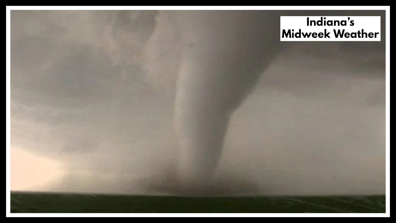
90° Heat and Severe Storms on the Way—Indiana’s Midweek Weather Looks Alarming
If you live anywhere across Northern Indiana, now’s the time to pay attention to the skies—and the forecast. A new Northern Indiana Weather Alert has been issued for early this week, warning of an uncomfortable heat wave followed by a round of potentially dangerous storms by Wednesday afternoon. What starts as a sticky, summer-like stretch is expected to turn volatile fast—and the shift could catch many off guard.
Right now, the region is experiencing climbing temps and thick humidity, with the heat index expected to hit 90°F or more by Tuesday and Wednesday. It’s the kind of heat that sneaks up on you—where you sweat even in the shade and air conditioners struggle to keep up. While that might just sound like a typical summer preview, it’s really a sign that bigger weather trouble is brewing.
Northern Indiana Weather Alert: Midweek Storms Could Pack a Punch
Midweek is when the real concerns begin. As all that heat builds up, a cold front moving in from the west is expected to trigger scattered to severe thunderstorms by late Wednesday. And with the atmosphere full of energy, those storms could hit hard—bringing strong winds, heavy downpours, and even hail.
That’s why the Northern Indiana Weather Alert isn’t just about rising temperatures—it’s a heads-up about what those temperatures are setting the stage for. Trees could come down. Power could go out. Roads could flood. The kind of storm that starts with a dark sky and ends with cleanup crews working into the night.
Here’s How to Get Ready:
-
Drink more water than you think you need—especially if you’re outside.
-
Avoid outdoor chores like mowing or power-tool use during the hottest times of day.
-
Secure anything loose in your yard ahead of the storms.
-
Keep weather alerts turned on—this is one week you don’t want to miss the notifications.
-
Check on vulnerable neighbors or relatives, especially the elderly and those without A/C.
Stay Safe, Stay Ahead
Whether you’re planning outdoor events, commuting to work, or just trying to beat the heat, this week is shaping up to be one of those times where the weather doesn’t play fair. And with temperatures and storm energy rising, it’s not just about comfort—it’s about staying safe.
FAQ About 90° Heat and Severe Storms—Indiana’s Midweek Weather
1. What’s this Northern Indiana Weather Alert really about?
It’s a heads-up that we’re in for a rough weather combo this week. First, we’re getting hit with hot, sticky air—feels-like temps around 90°F—and then, just when you think it can’t get more uncomfortable, strong storms are expected to move through Wednesday afternoon. It’s not meant to scare you, just to keep you prepared.
2. When should I be most concerned?
The heat will keep building into Wednesday, but the biggest concern is late Wednesday afternoon and evening. That’s when thunderstorms are expected to roll through—and they could be intense. So if you’ve got outdoor plans, errands, or travel, try to wrap them up earlier in the day if possible.
3. Are these storms going to be bad?
They might be. The forecast is calling for strong winds, possible hail, and heavy rain. Not everyone will see the worst of it, but the storms could move fast and do damage in some spots. Think: power outages, fallen trees, or flash flooding in low-lying areas. Better safe than sorry.
4. What should I do to get ready?
Nothing crazy—just the smart stuff. Drink lots of water, stay in the shade or A/C, and keep an eye on your weather apps. Before Wednesday, it’s a good idea to tie down anything loose in the yard, charge your phone, and know where to go if you need shelter from high winds.
5. How long is this going to last?
The worst of it should pass by late Wednesday night. By Thursday, we should see cooler, calmer weather. That said, if any areas get hit hard, it might take a day or two to clean up or get the lights back on. So keep your phone charged and maybe pick up a few extra groceries, just in case.