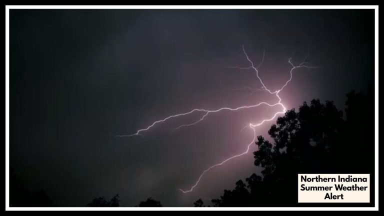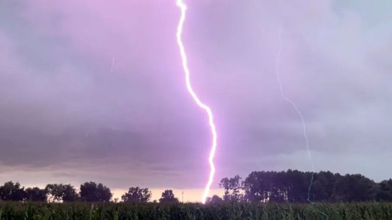
Mid-South and Tennessee Valley Weather: Severe Storms Bring Large Hail on Thursday
At least seven states, including Alabama, Tennessee, Mississippi, Kentucky, Missouri, Georgia, and Mississippi, are anticipated to experience hailstones up to one inch in diameter due to a new storm system predicted to rip across the Tennessee Valley and the U.S. South.
Why It Matters?
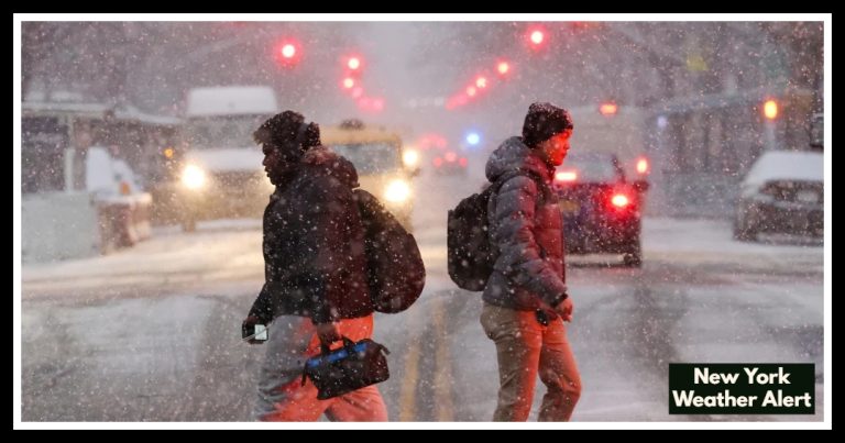
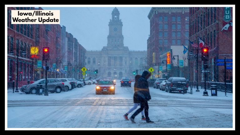
The upcoming storm is predicted only days after an atmospheric river soaked the same area, causing significant flooding. At least 18 people were killed by that previous system, which flooded the Midwest and South and necessitated mass evacuations. Rivers in several counties in Kentucky, Tennessee, and Arkansas reached or beyond significant flood-stage levels, making these states the most severely affected.
The National Weather Service (NWS) cautions that isolated thunderstorms may still occur on Wednesday in the northern and central Plains, Midwest, Ohio Valley, and eastern Florida, even if widespread severe thunderstorms are not predicted. “Severe thunderstorms are not expected,” according to the Storm Prediction Center’s April 9 Day 1 Outlook, but some storms may produce lightning and strong gusts.
According to a hazardous weather prediction released by the NWS office in Springfield, Missouri, thunderstorms were expected to start on Thursday. The storms threaten large hail and destructive wind gusts up to 60 mph.
According to the Huntsville, Alabama, NWS office, there is a “low to medium chance of severe thunderstorms Thursday afternoon/evening,” with the main threats being hail larger than one inch in diameter and destructive winds.
“Thursday’s severe weather: Scattered severe storms capable of producing large hail and damaging gusts will be possible across portions of the Mid/Deep South and Tennessee Valley,” the NWS said on Wednesday, posting a map of the area that might be impacted on X, the old Twitter.
“Severe” hailstones are defined by the National Oceanic and Atmospheric Administration (NOAA) as having a diameter of one inch or more. This amount of hail “can bruise shingles and expose the roof’s underlayment, leading to leaks or other costly damage if not repaired quickly,” according to the Roofers Guild.
Brian Hurley, a senior branch forecaster at the NWS Weather Prediction Center, told Newsweek that the oncoming system isn’t expected to provide much rain to most places most severely affected by the atmospheric river last week and last weekend.
Hurley told Newsweek: “This system isn’t going to provide a lot of rainfall. The good news is that there will be less than an inch of rain in many places, particularly in regions most severely affected by flooding.
Hurley went on: “That severe weather is the biggest threat… We anticipate some places of destructive gusts of 60 mph or more, as well as possibly giant hail, due to instability and the extreme cold in the atmosphere. Hurley added that while hailstone size is challenging to forecast, it can grow up to 1 inch in diameter or about the size of a quarter.
What Happens Next?
There were no severe weather alerts for the region as of Wednesday night. Weather authorities advise locals to be aware of local alerts and to be ready for sudden changes in the weather as the new storm approaches.