Washington, D.C. Forecast: Why This Week’s Heat Could Catch You Off Guard
If you’re heading out in Washington, D.C. today, you might want to grab a light rain jacket and enjoy the brief break from summer’s usual heat. The Washington, D.C. forecast is starting off on a calm, cooler note this week—but that’s about to change. A significant shift in weather is headed our way, and it’s going to feel a lot more like July by the time we hit Thursday.
After a cloudy, drizzly start on Monday with highs barely cracking the 70s, we’re on track to swing sharply in the opposite direction. Heat and humidity will build fast through midweek, and by Thursday, D.C. could be sweltering under a 90-degree sun with thick, sticky air that makes it feel even hotter. And yes—thunderstorms are very much in play.
Mild Now, But the Washington, D.C. Forecast Signals a Sizzling Week Ahead
The early part of the week brings a rare cool spell for June. Today’s light rain and comfortable temperatures may even feel like a treat, especially for those who’ve been dreading another humid stretch. But that comfort won’t last. Tuesday marks the turning point—sun breaks through, and temps climb quickly into the 80s.
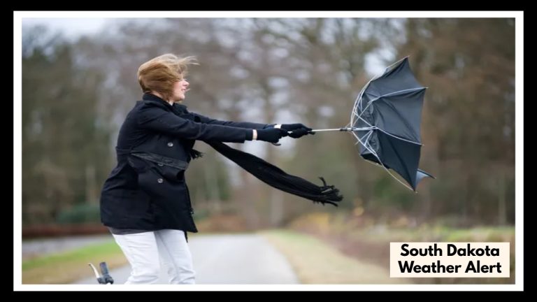
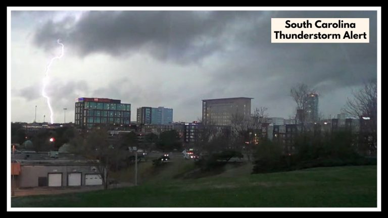
By Wednesday afternoon, the real summer weather arrives: highs near 90, plenty of moisture in the air, and a chance of pop-up storms that could bring heavy rain, strong winds, and possibly even hail in isolated areas. It’s classic D.C. summer—hot, humid, and full of surprises.
Why This Week Matters
-
Heat Health Risk: The sudden jump in temps can be hard on the body, especially for kids, older adults, and outdoor workers.
-
Afternoon Disruptions: Quick-hitting storms could cause delays for commuters or flight schedules out of DCA.
-
Energy Strain: Air conditioners will be running full tilt, especially in apartment-heavy areas.
How to Stay Ready
-
Beat the heat by doing outdoor activities early in the morning or after sundown.
-
Stay storm-smart: keep your phone alerts on and avoid driving during sudden downpours.
-
Check in on vulnerable neighbors, especially those without AC or easy mobility.
Looking Toward the Weekend
Things ease up a little by Friday, with humidity starting to drop. Still warm, but less oppressive—perfect for planning a Father’s Day weekend outdoors (with sunscreen in hand).
FAQ About Washington, D.C. Forecast
1. What’s up with the cooler, rainy weather in D.C. today?
It’s just one of those early-summer curveballs. A slow-moving weather system is bringing clouds and showers, making things feel more like spring than June. But don’t get too cozy—heat is already on the way.
2. When is it going to start feeling like summer again?
Pretty soon! By Tuesday afternoon, you’ll start to feel the warmth returning. And by Wednesday and Thursday, we’re talking highs in the 90s, with the humidity cranking things up even more.
3. Should I expect any storms this week?
Definitely. As things heat up midweek, there’s a good chance for pop-up storms, especially on Wednesday and Thursday. They might be quick, but some could pack a punch with heavy rain, wind, or even some hail.
4. Is this kind of heat something to worry about?
It can be—especially since it’s coming on fast after cooler days. If you’re working outdoors, have health concerns, or just aren’t used to the heat yet, take it easy. Stay hydrated, wear light clothing, and don’t forget about pets and elderly neighbors.
5. Anything I should be doing now to get ready?
Now’s the time to prep! Check that your A/C is working, stock up on water, and make sure your weather alerts are turned on. Try to plan errands or activities for the cooler parts of the day—mornings and evenings will be your best bet.