New Hampshire Weather Alert: 93-Degree Heat and Violent Storms Could Disrupt Your Thursday
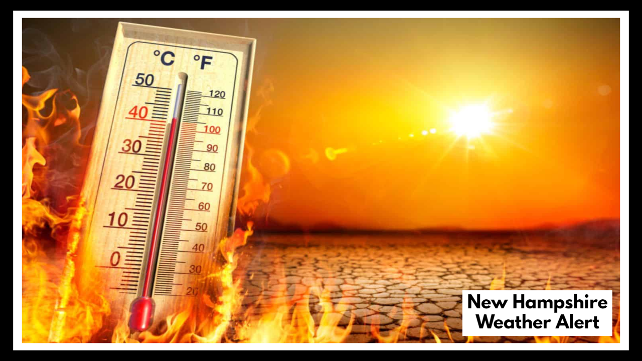
MANCHESTER, NH — A New Hampshire Weather Alert has been issued for Thursday as a surge of summer heat pushes the mercury well into the 90s, with dangerous humidity levels and a risk of severe thunderstorms late in the day. The heat index — or how hot it actually feels — could reach 96°F, creating uncomfortable and potentially hazardous conditions for residents across southern New Hampshire.
A Hot and Stormy Day Ahead
Thursday is expected to be the hottest day of the week in Manchester, with actual high temperatures forecast around 93°F. However, with humidity levels rising, the heat index will feel closer to 95–96°F, making the air feel stifling by early afternoon.
This kind of heat isn’t just uncomfortable — it can be dangerous, especially for older adults, children, and people working outdoors. Heat exhaustion and heat stroke become real concerns during these kinds of conditions, particularly when the air stays warm even after the sun goes down.
To make matters more complicated, the same hot, unstable air mass that brings the heat could fuel strong to severe thunderstorms late Thursday afternoon into the evening. These storms may develop quickly and bring damaging winds, heavy downpours, and frequent lightning — and some areas may even see hail.
What Residents Should Expect
This weather setup — intense daytime heat followed by evening storms — can catch people off guard. Here’s what to keep in mind:
-
Outdoor plans may need to be adjusted. Whether it’s sports practice, outdoor dining, or errands, it’s best to do them early in the day.
-
Evening commutes could be messy. Pop-up storms can develop quickly and lead to poor visibility, slick roads, and downed tree branches.
-
Air quality may decline. With the heat and humidity, some areas could also experience reduced air quality, especially in urban zones.
How to Stay Safe
Health and safety should be the top priority on days like this. Here are some key precautions:
-
Hydrate frequently — don’t wait until you’re thirsty to drink water.
-
Limit time outside, especially between 12 p.m. and 5 p.m., when heat is most intense.
-
Keep an eye on local weather alerts, especially in the afternoon when thunderstorms are most likely to form.
-
If you hear thunder, go indoors immediately — lightning can strike miles away from a storm.
Also, remember to check on neighbors who may be vulnerable to extreme heat, such as seniors or those without air conditioning.
Looking Beyond Thursday
The heat doesn’t end with Thursday. Temperatures are expected to remain in the upper 80s and low 90s into early next week, with only slight cooling over the weekend. While Friday may bring slightly milder conditions with breezy winds, the overall trend remains warm, and additional storms are possible in the days ahead.
If current patterns hold, next week could bring even more intense heat, with forecast highs pushing toward the upper 90s — potentially the hottest stretch of weather New Hampshire has seen so far this year.
FAQ About
1. Why was a weather alert issued for Manchester on Thursday?
A New Hampshire Weather Alert was issued because the forecast calls for extreme heat, with temperatures reaching the low 90s and a heat index near 96°F. On top of that, severe thunderstorms may develop in the late afternoon or evening, bringing the potential for damaging winds, lightning, and heavy rain.
2. What time of day will the heat be most dangerous?
The most intense heat is expected from 12 p.m. to 5 p.m., when the sun is strongest and the humidity will make it feel much hotter than the actual temperature. That’s when people should try to stay indoors, take breaks, and stay hydrated.
3. How likely are thunderstorms in the area?
There’s a moderate risk of thunderstorms on Thursday afternoon into the evening. While not every part of Manchester will see a storm, any storms that do form could be severe, with strong wind gusts, brief downpours, and dangerous lightning.
4. What precautions should I take to stay safe?
-
Drink plenty of water throughout the day.
-
Avoid outdoor activity during the hottest part of the afternoon.
-
If storms approach, head indoors immediately and avoid open spaces, tall trees, or metal structures.
-
Stay informed with real-time weather updates via local news or weather apps.
5. Will this heat wave continue beyond Thursday?
Yes — Thursday marks the beginning of a longer stretch of hot weather. While Friday may feel slightly cooler, temperatures will likely remain above normal into early next week, possibly rising even higher. This could be one of the first true summer heatwaves of the season in southern New Hampshire.