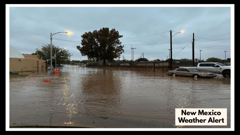
Predicting End to La Nina Could be Complicated by Spring Forecast Barrier
There is no set timetable for when the world enters a La Niña or El Niño condition, although each cycle usually lasts nine to twelve months. An El Niño may be under control if the ocean surface warms, whereas a drop in water temperature causes a La Niña.
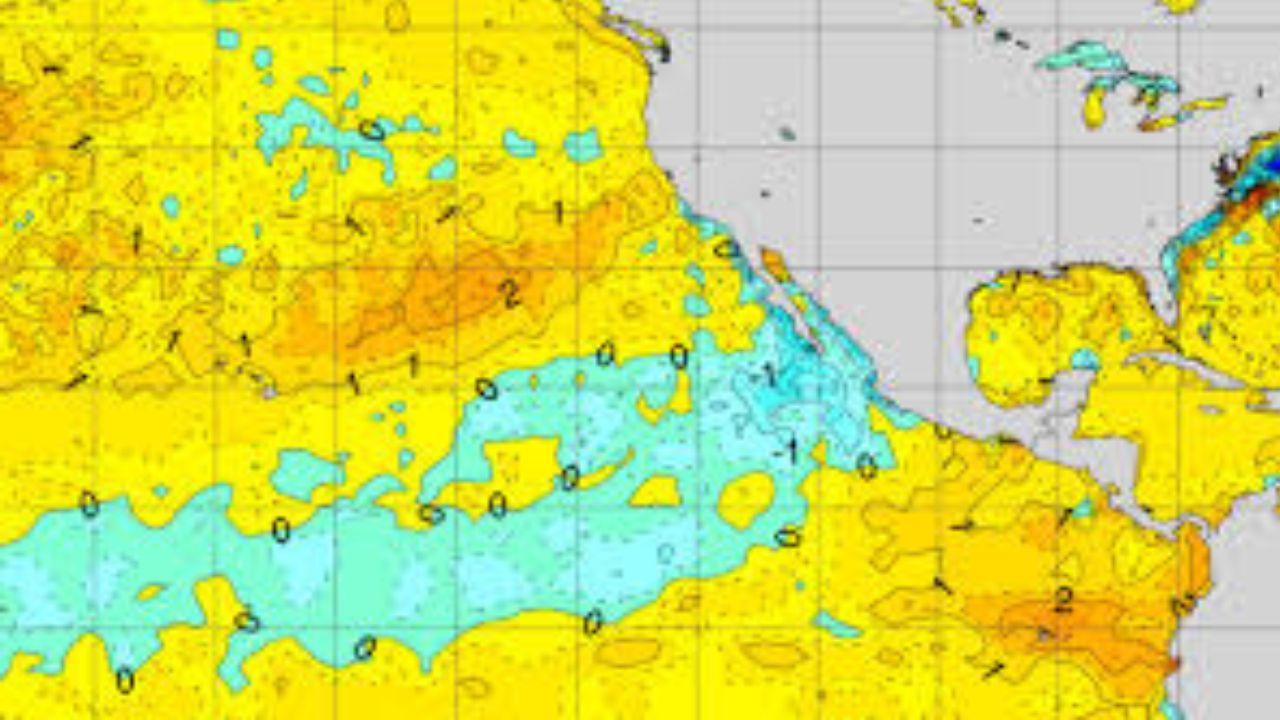
Meteorologists and climatologists carefully monitor the Eastern and Central Pacific Ocean’s constantly fluctuating water temperatures as the planet cruises through spring to assess the El Niño-Southern Oscillation.
The precise projection is still unclear since pattern shifts in the spring may be unpredictable, and the equatorial Pacific is projected to shift from a mild La Niña state to ENSO-neutral circumstances during the next several months.
Sea surface temperatures in the equatorial Pacific area have moved closer to average as of late March, indicating that a mild La Niña is about to finish. Neutral conditions are predicted to last for most of the year.
However, the precise moment at which the ENSO status changes is yet unknown. Several variables, such as variations in trade winds, air pressure, and ocean temperatures, affect the oscillation state.
Climate experts warn that the forecasts can occasionally be unclear, a phenomenon known as the spring predictability barrier, even if the ENSO-neutral phase is preferred for the upcoming months.
What does ENSO neutral mean?
When anomalies in the central and eastern Pacific range from 0.5 °C to -0.5 °C, the ENSO is considered neutral. Neutral circumstances affect weather nationwide and internationally, much like El Niño and La Niña extremes do.
Since the jet stream usually fluctuates less, local weather may be dominated by more regional patterns. The Sun’s path across the Northern Hemisphere might complicate the ENSO state as it gets closer to the solstice.
Although areas of the Northern Hemisphere, especially the Pacific, are warm around this time of year, the precise manner in which the seas warm varies from year to year.
Another factor might be a lack of meteorological observations, such as the data required to monitor storms. Forecasts are less reliable if there is a dearth of information from satellites or buoys in the immense ocean.
The events of 2024, when the collapse of an El Niño went longer than anticipated, provide an example of how difficult it is to predict ENSO trends.
Although some forecasts predicted that El Niño conditions may terminate by early spring last year, the ENSO’s warm cycle didn’t break out until early summer.
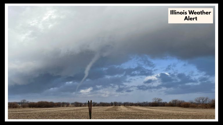
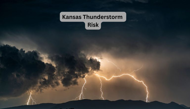
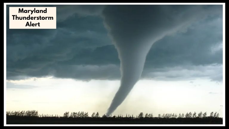
Everything from hurricanes to winter storms, from droughts to spring severe weather outbreaks, is greatly influenced by ENSO conditions.