Storms Could Hit Hard Tonight: Kentucky Braces for 70 MPH Winds and Hail!
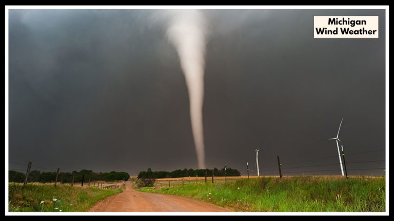
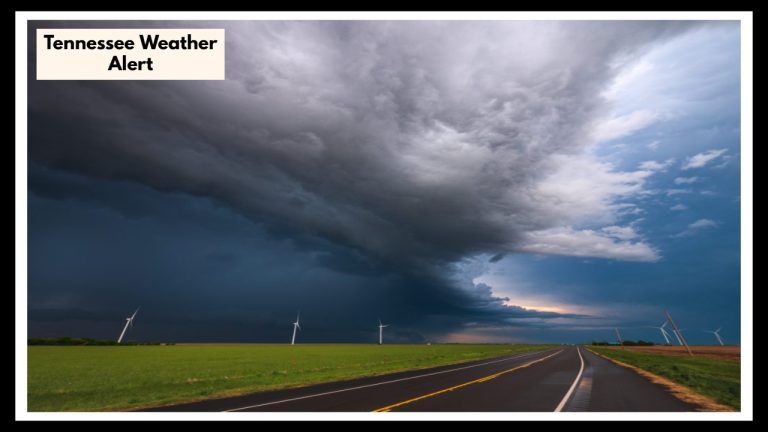
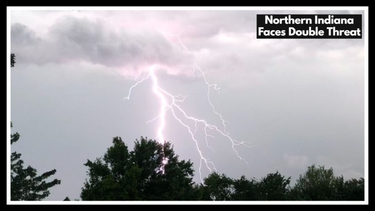
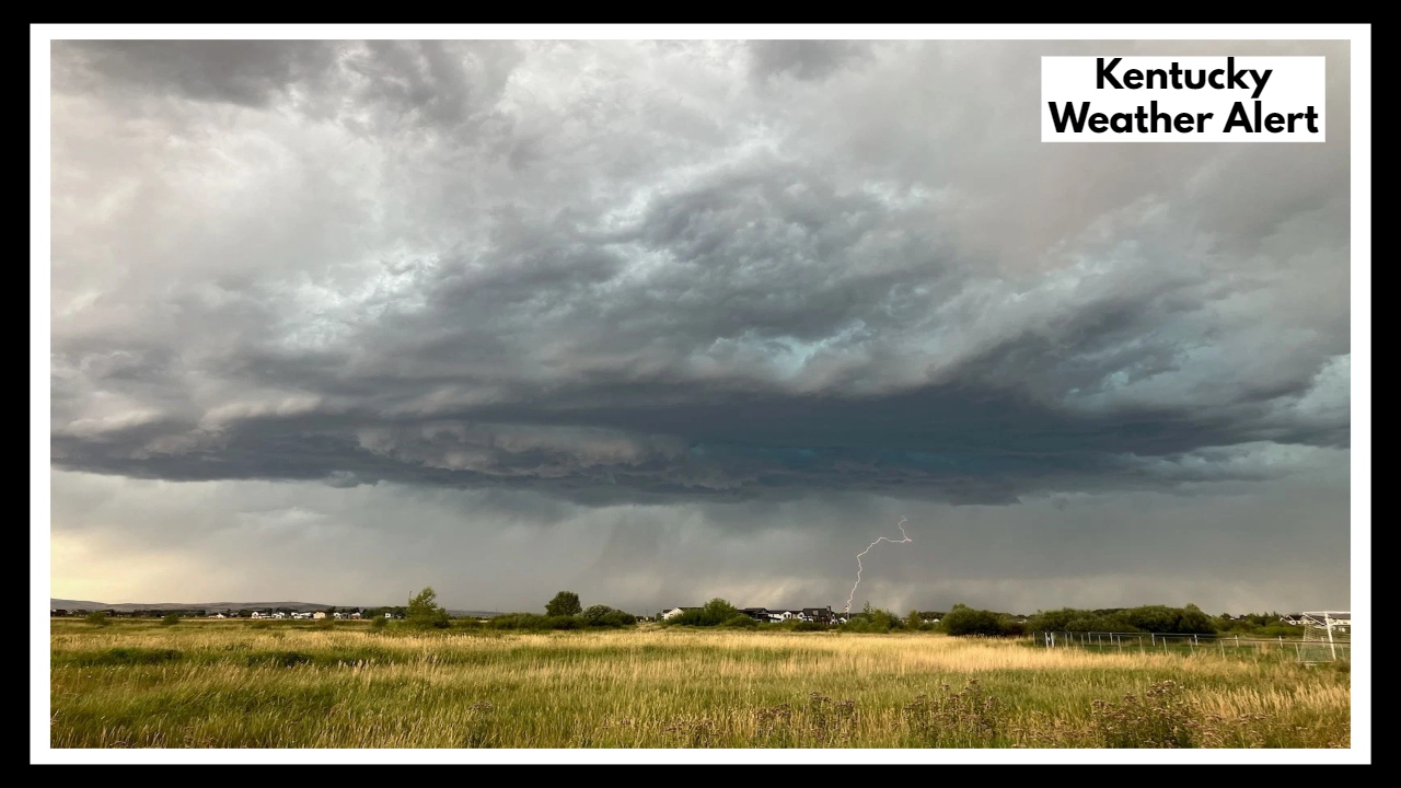
KENTUCKY — A fast-moving storm system is closing in on the Bluegrass State, and the Kentucky Weather Alert issued today urges everyone to take tonight’s threat seriously. Across central and eastern Kentucky, forecasters are tracking a line of potentially severe storms capable of producing damaging wind gusts up to 70 mph, large hail, and even an isolated tornado or two.
After a stretch of warm, humid days, tonight could bring the kind of storm that knocks out power, brings down trees, and disrupts travel—fast.
Kentucky Weather Alert: Why Tonight’s Storms Could Be Dangerous
This isn’t your average summer thunderstorm. The Kentucky Weather Alert from the National Weather Service is in place because of a combination of factors: intense heat, incoming cooler air, and unstable atmospheric conditions that could spark quick-developing, hard-hitting storms. The alert stretches into the overnight hours—so even while you’re sleeping, strong winds and bursts of hail could arrive with little notice.
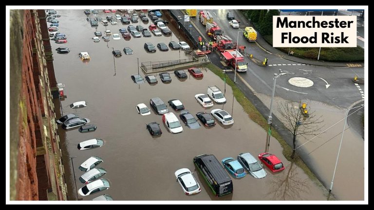
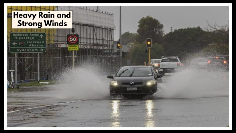
There’s a possibility that the storms will come in two waves, one in the evening and another later in the night. Both could bring destructive weather. And with heavy rain possible in a short amount of time, flash flooding is also a concern, particularly in low-lying areas or neighborhoods with poor drainage.
What This Means for You Tonight
Across Kentucky, families are being urged to secure outdoor items, charge up their phones, and stay indoors during peak storm hours. Emergency management teams are on standby. People who live in mobile homes or areas prone to flooding should have a backup plan and know where to go if a warning is issued.
Even if a tornado doesn’t form, 70 mph winds and large hail can do real damage—knocking down power lines, smashing car windows, and leaving behind a mess to clean up in the morning.
What You Can Do Now
-
Monitor local weather alerts and turn on emergency notifications.
-
Prepare a safe room in your home—preferably a basement or windowless interior room.
-
Avoid unnecessary travel, especially after dark.
-
Don’t ignore watches or warnings—these systems are fast and can strengthen quickly.
-
Check in on neighbors or family members who may need help preparing.
A Quick Look Ahead
While tonight will be stormy, the good news is that most of the severe weather will clear by early Thursday morning. The rest of the week looks calmer—but as we head into peak summer, more severe storms could develop in the coming weeks. Now’s a good time to review your household’s emergency plans and be ready for whatever weather comes next.
FAQ About Kentucky Weather Alert
1. What exactly is the Kentucky Weather Alert warning us about?
The alert is about severe thunderstorms expected tonight across much of central and eastern Kentucky. These storms could pack wind gusts up to 70 miles per hour, large hail, torrential rainfall, and even a low tornado risk. It’s a serious setup, especially because the worst of it could arrive overnight when most people are asleep.
2. When will the storms hit, and how long will they last?
Forecasters say the strongest storms could arrive in two waves—one in the early evening and another overnight. The window of concern stretches from 6 PM Wednesday through early Thursday morning. Storms may move fast, so you might not get much warning before they arrive.
3. How can I stay safe during this kind of weather?
Here’s what you can do:
-
Stay indoors once the storms start.
-
Move to a safe space like a basement or interior room if a warning is issued.
-
Secure anything outside that could blow away or break windows.
-
Charge your phone and keep it nearby with alerts turned on.
-
Avoid driving during heavy rain or high winds.
4. What should I do if the power goes out or there’s flooding?
If your power goes out, stay calm and use flashlights instead of candles. Keep refrigerators closed to preserve food. If you see flooding, don’t try to drive through it—even shallow water can sweep a vehicle away. Report downed power lines and stay far away from them.
5. Will the weather stay bad after tonight?
The worst of the severe weather is expected to pass by early Thursday morning. After that, Kentucky should return to more typical summer conditions with warm, humid days and a lower chance of storms—at least for the next few days. But stay weather-aware—this time of year, conditions can shift quickly.