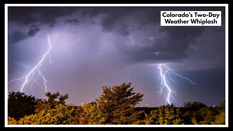
North Carolina Storm Chaos Tonight: 65 MPH Winds Target Raleigh and Greenville!
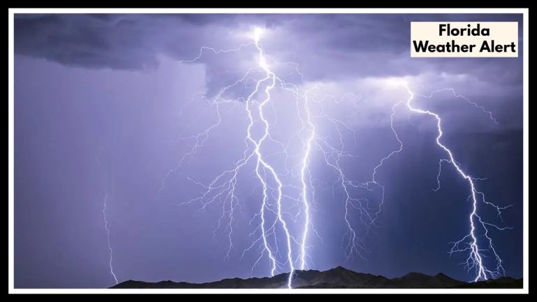
If you’re in central or eastern North Carolina today, now’s the time to pay attention. A North Carolina Weather Alert has been issued, warning that severe thunderstorms will move through cities like Raleigh and Greenville this evening, bringing intense wind gusts — potentially up to 65 miles per hour — along with heavy rain and frequent lightning. The alert is in effect until 11 PM Thursday, and it could bring some serious disruptions to your evening.
What’s Happening Right Now
Thunderstorms are already developing and marching east across the state. The National Weather Service has placed a large section of North Carolina under a Severe Thunderstorm Watch, and multiple warnings have already gone into effect in counties around Raleigh.
These storms are fast-moving and come with dangerous winds, sharp lightning, and quick bursts of rain that could cause flooding in low-lying spots and poor visibility for drivers. And if you’re outdoors — even for a quick evening walk or to take out the trash — think twice. This storm could come on fast and strong.
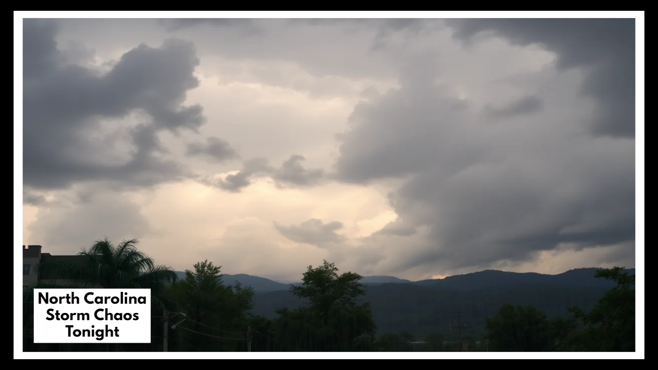
North Carolina Weather Alert: Here’s What to Expect Tonight
As the line of storms continues eastward, Greenville is expected to see the brunt between 8 and 10 PM, with Raleigh already feeling strong gusts and lightning activity by late afternoon. These aren’t your average summer showers. Winds could easily topple tree limbs, snap power lines, and toss around anything not nailed down.
This North Carolina Weather Alert also highlights that frequent lightning and brief hail are possible in some of the stronger cells. While hail isn’t the biggest concern tonight, the combination of wind and downpour is what makes this system dangerous.
What You Should Do
-
Stay inside and away from windows once storms start moving in.
-
Secure anything outside, especially patio furniture, umbrellas, trash bins, or hanging plants.
-
Charge your phone and flashlight, just in case you lose power.
-
Avoid driving, especially on rural or poorly lit roads, if visibility drops or trees come down.
-
Keep tabs on the latest updates from local news or the National Weather Service.
Why It Matters
This isn’t just another pop-up summer storm. The timing, speed, and intensity make it especially risky — particularly for those caught unaware. June storms like this are unpredictable, and when winds top 60 to 65 mph, you’re talking about damage that can rival weak tornadoes. Don’t take the North Carolina Weather Alert lightly.
FAQ About North Carolina Storm
1. I’m in Raleigh or Greenville — should I actually be concerned about this storm?
Yes, it’s definitely worth paying attention to. If you’re in or around Raleigh, Greenville, or nearby areas, this storm could bring some real trouble tonight — we’re talking about strong wind gusts, heavy rain, and a lot of lightning. It’s not meant to scare you, but it’s smart to keep an eye on the weather and make a few simple preparations.
2. Is this just a typical thunderstorm, or something more serious?
It’s more serious than your average summer storm. Forecasters are warning about wind gusts up to 65 mph — strong enough to knock over trees or tear down power lines. There might also be quick, heavy downpours, and a good amount of lightning. It’s one of those storms where staying inside and keeping your devices charged is the best plan.
3. Will this mess with evening plans or events?
It could. While there’s no official word on cancellations yet, games, local events, or evening classes might get delayed or canceled — especially if the weather worsens. If you or your kids have something scheduled tonight, it’s a good idea to check in with the organizers before heading out.