Easter week cold front to produce rain, storms for Ohio Valley and Northeast
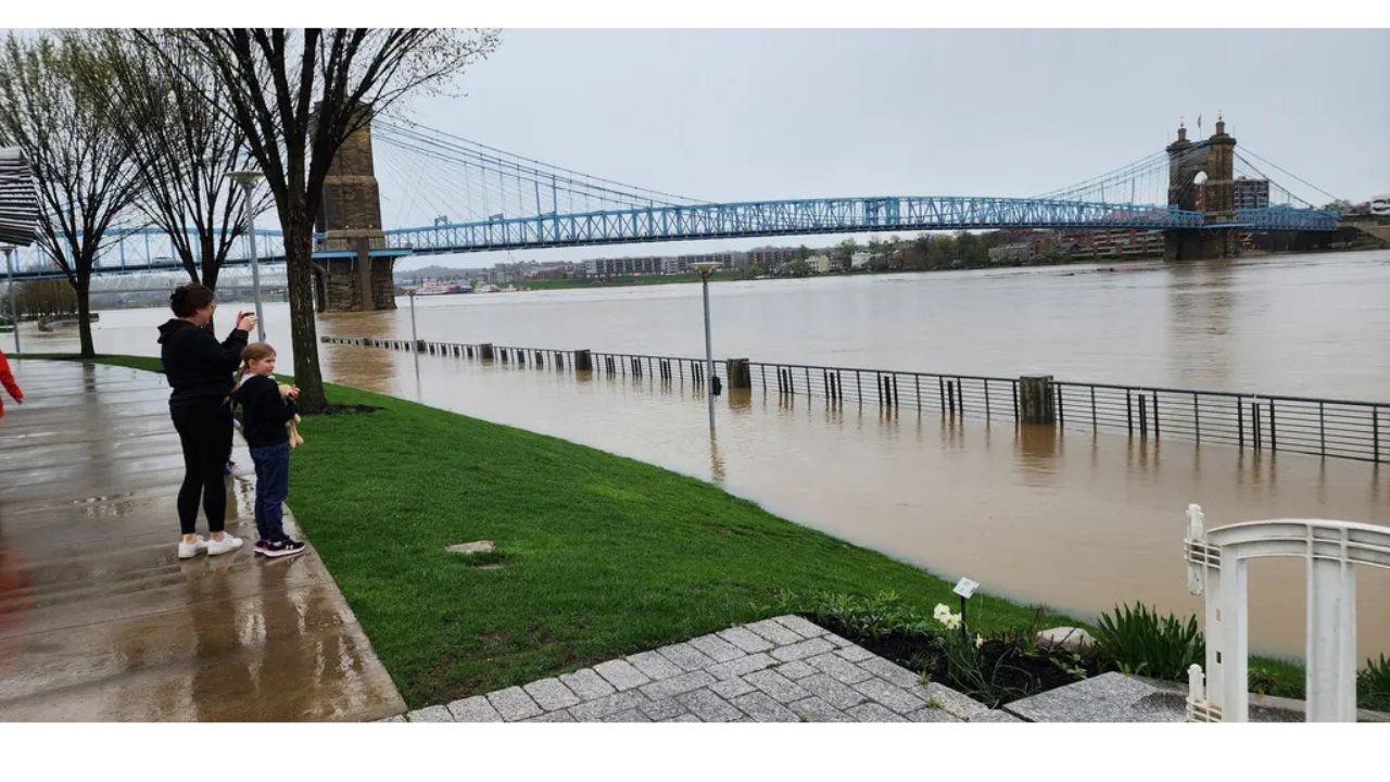
Although they are near bank full, most river gauges in the Ohio Valley are declining. Before the next round of rainy weather hit, almost a dozen gauges were at significant flood status, according to the Ohio River Forecast Center. For the first time since 2018, the Ohio River in Cincinnati rose beyond 60 feet, flooding Northern Kentucky and Southern Ohio.
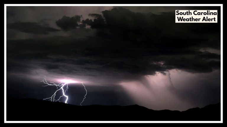
As a fast-moving cold front moves across the Ohio Valley on Monday, some areas are preparing for rain and the possibility of thunderstorms to start Easter week.
From Monday through early Tuesday, cities in Ohio, Indiana, Kentucky, Pennsylvania, and West Virginia are at increased risk of severe weather.
Although storms may cause various problems, forecasters believe destructive winds will be the primary concern. Any thunderstorm that forms can create periods of heavy rainfall, frequent cloud-to-ground lightning, and severe wind gusts.
Localized totals of one to two inches of rainfall are still possible, but the front is predicted to pass swiftly, limiting overall accumulations. The heightened risk of rain coincides with several rivers in the area already overflowing, and some—such as those along the Ohio and Kentucky rivers—are still feeling the effects of recent flooding.
The Ohio River in Cincinnati surged more than 60 feet, the highest level since at least 2018. Riverside parks and roads were temporarily closed to safeguard low-lying regions, and floodgates were activated.
In Princeton, Indiana, further to the west, cleaning work is ongoing after an EF-1 tornado landed on Thursday. The storm destroyed numerous homes, and the area expects further storms and rains, which might make rehabilitation more difficult.
According to FOX Weather meteorologist Steve Bender, there will be enough heat and atmospheric instability brought on by the cold front to sustain powerful storms that will increase during the day and last into the evening. As severe weather is always more dangerous at night, locations like Charleston, West Virginia, and Pittsburgh may be at risk.
The weather pattern for the rest of the holiday week is still unpredictable once the cold front has passed. Although some prediction models indicate that more weak frontal borders may move into the area, there is insufficient instability and moisture to anticipate widespread rainfall from these frontal boundaries.
Most of the week, temperatures in the Ohio Valley are predicted to be below normal. Highs in many places will be several degrees below seasonal averages, even though mid-April usually sees highs in the mid to upper 60s.