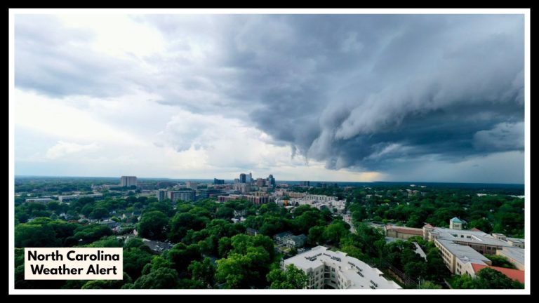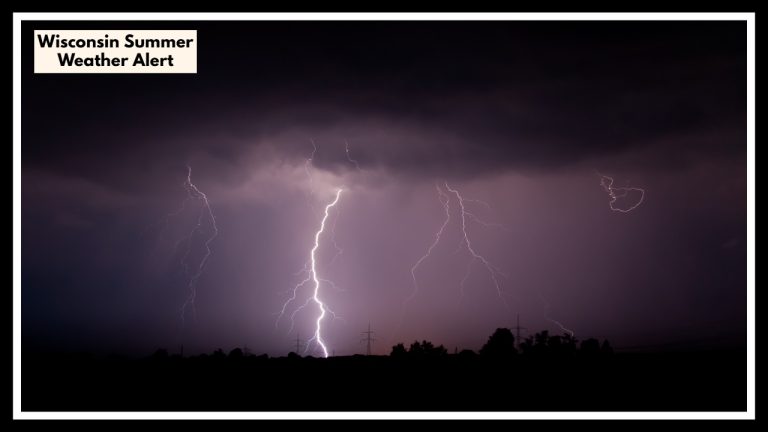
Coastal Storm Dampens Weekend for East Coast is Flash Flooding Threatens 14 Million Along I-95 Corridor
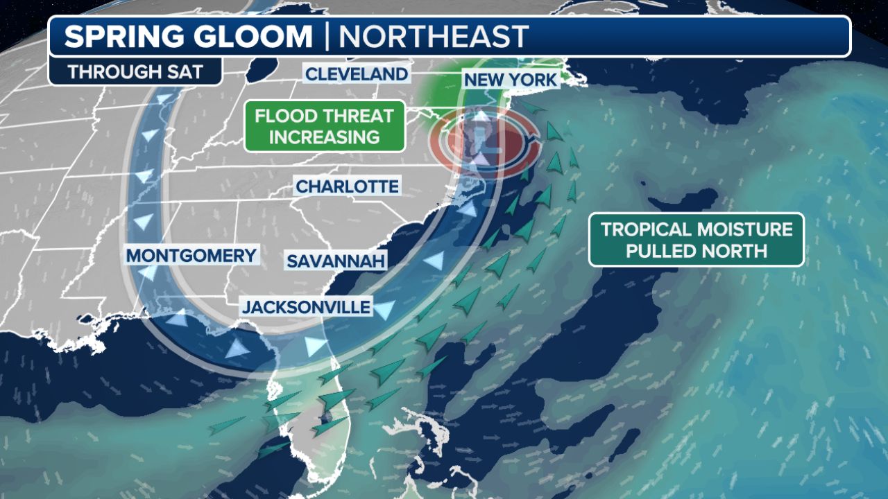
Because of a low-pressure system off the mid-Atlantic coast, the Northeast is experiencing widespread drenching rain and frigid temperatures for mid-April. Many of these places are seeing their second round of rainy weather.
Higher elevations saw rain and snow on Thursday as a distinct low-pressure system pushed into the Northeast and over the Great Lakes.
NOAA’s Weather Prediction Center issued a Level 1 out of 4 flash flood hazard due to the possibility of heavy rain, affecting about 14 million people from North Carolina to Delaware. Additionally, this system and this weekend’s full moon may cause some coastal flooding. Additionally, the temperature will remain cold, with highs in New York City just reaching 50 degrees on Saturday.
More rain is expected by the middle of next week, and the weather will continue to be wet and chilly through Sunday before warming up somewhat on Monday and Tuesday.
The most recent NOAA’s Climate Prediction Center forecast also predicts that a cold and rainy weather pattern will persist over most of the Northeast during the next 8 to 14 days.