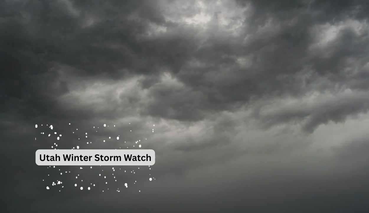
Utah Winter Storm: Traveling Issues on Mountain Routes with Snowfall Throughout Friday
Snowfall of up to 20 inches is expected in Utah’s southern mountains by Friday night, posing a danger to high-elevation routes and ski access roads.
The National Weather Service in Salt Lake City has issued a Winter Storm Watch for Brian Head, Alton, Boulder Mountain, and the Tushar range, which will be in force Thursday morning and last until Friday evening. Forecast models predict 6 to 12 inches of snowfall in most places, with isolated pockets receiving up to 20 inches. Highway 143, State Route 12, and mountain pass drivers should expect winter driving conditions, including slick pavement and reduced visibility. The Utah Department of Transportation recommends delaying non-essential travel and checking udottraffic.utah.gov for real-time updates.
This system marks one of southern Utah’s most significant late-season snow events in recent years. Residents in high-altitude communities are urged to prepare for disruptions in power and travel. The watch may be upgraded to a warning as the storm nears. Additional alerts are possible as models refine snowfall totals and timing.