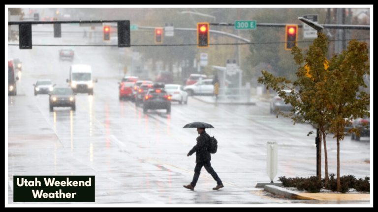
Colorado Weather: Up to 12 Inches of Snow in the San Juan Mountains and Aspen by Saturday 6 PM
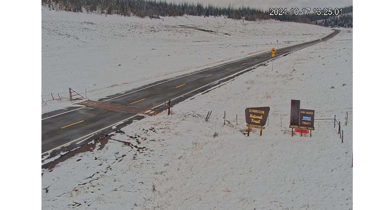
Strong winds and a lot of snow are expected to cover Colorado’s high country by Saturday night, with some mountain regions perhaps receiving up to 12 inches of precipitation.
Grand Junction’s National Weather Service reports that Winter Weather Advisories will be in force for altitudes over 8,000 feet from midnight Thursday until 6 p.m. Saturday. The San Juan Mountains, the West Elk and Sawatch Mountains, and the Central Mountain Valleys—Aspen, Telluride, Silverton, and Vail—are among the areas that are impacted. Winds can reach 45 mph gusts, which could cause tree damage and whiteout conditions.
Travel is predicted to be dangerous throughout the advisory period, particularly on Friday mornings and evenings. Snow buildup and poor visibility make mountain routes like Vail, Red Mountain, and Monarch inaccessible.
Locals and tourists are advised to postpone unnecessary travel and consult CDOT’s 511 road updates before leaving. Drivers should slow down, give themselves more stopping room, and store emergency supplies in their cars.
This blizzard warns that winter’s hold may last even if it is normal for mid-April in Colorado’s highlands. Preparedness and caution are still essential in all affected areas through Saturday.