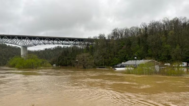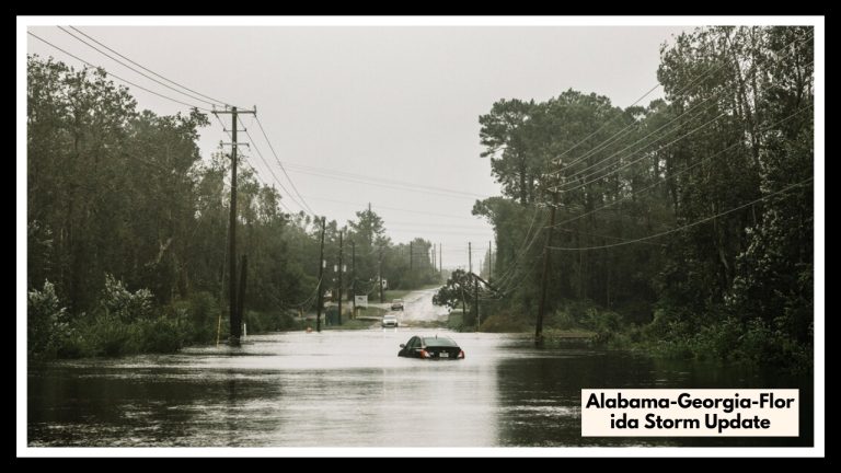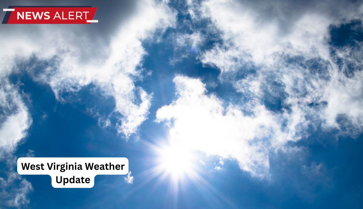
West Virginia Weather Update: A dry spell brings 80s to Charleston by Wednesday Afternoon
West Virginia will have a welcome burst of sunlight this week, with temperatures rising into the high 70s and 80s by Wednesday in the lowlands, including Charleston and Huntington. Lingering mountain showers will subside overnight, paving the way for a warm and dry midweek.
According to the US National Weather Service in Charleston, mountain regions will dip into the mid-40s overnight, but most of the state will stay dry starting Tuesday. A partly bright Tuesday gives way to full sun on Wednesday, with mountain highs in the mid-70s and lowland towns approaching 80 degrees.
While a stray rain is likely in the southern coalfields on Wednesday, most of the state will remain dry. A few scattered afternoon showers may emerge by Thursday, particularly in the northern highlands, but extensive rain and storms are not forecast until Friday or Saturday. Travelers and residents should take advantage of the temporary dry weather, but expect things to change later this week. Residents of the southern and eastern counties should keep an eye on local advisories for the most up-to-date storm schedule. Warmer weather is expected to last until Thursday, but chances of rain and storms will increase as the weekend approaches.