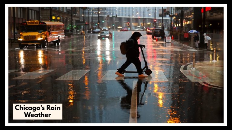
Northern Illinois Weather Update: Is Your Commute About to Get Stormy?
If you’re waking up or winding down in northern Illinois, it’s time to tune in to the latest Northern Illinois Weather Update—and maybe rethink your Friday plans. Thursday night is shaping up to be the calm before the storm (literally), with isolated thunderstorms possible, but it’s Friday’s forecast that could really throw a wrench in your day. Whether you’re commuting along I-88, heading toward the lakefront, or just trying to get errands done before the weekend, you’ll want to be ready for a messy mix of wind and rain.
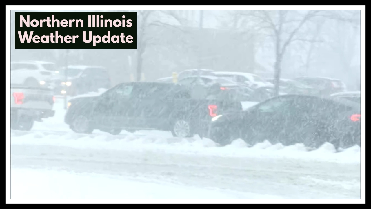
Thursday Night: A Chance of Surprise Storms
You might head to dinner or hit the gym under quiet skies Thursday night—but don’t let that fool you. Scattered storms could sneak in after sunset, especially north of I-88. These likely won’t be severe, but they could bring some gusty winds, brief heavy rain, and even a little hail. If you’re driving late or live in suburbs like Aurora or Glen Ellyn, be alert for a sudden downpour or a flash of lightning.
Northern Illinois Weather Update: Friday’s Forecast Could Soak Your Plans
Here’s where things get interesting. On Friday, a larger, more organized system moves through, and it’s bringing plenty of rain with it—especially across the I-88 corridor and along the lakefront. The Northern Illinois Weather Update warns of potentially 1 to 2 inches of rain, gusty winds, and street-level flooding in lower-lying or poorly drained areas. It’s not a dangerous storm system, but it’s enough to cause delays, mess with traffic, and leave you soaked if you’re not prepared.
If your day involves a school drop-off, commute into the city, or outdoor events, build in extra time and bring waterproof gear. And if you can shift activities to the morning or Saturday, you might just stay dry.
The Silver Lining? A Decent Weekend Ahead
The stormy weather should move out by Friday night, giving way to a cooler and drier weekend. Saturday will still feel like spring with highs in the 50s, and Sunday’s looking even better—with sunshine and temps creeping up into the 60s. After a soggy Friday, the weekend might actually be perfect for getting outside.
FAQ Northern Illinois Weather Update
1. When are the storms expected to start in Northern Illinois?
You might see some scattered storms as early as Thursday night, especially after sunset. These are expected to be isolated, but Friday is when things really ramp up—with widespread rain moving in during the morning hours and continuing into the afternoon.
2. Will the Friday rain be severe?
The rain itself isn’t expected to be dangerous, but it will be heavy at times. Some areas could see 1 to 2 inches of rainfall, and gusty winds could knock around light objects or cause minor tree damage. Flooding in low-lying areas or near storm drains is also possible.
3. Which areas will be hit the hardest?
The heaviest rainfall is expected along the I-88 corridor and near the lakefront, including parts of Chicago and nearby suburbs like Naperville, Oak Brook, and Evanston. If you live or work in these zones, it’s a good idea to keep an umbrella (and some patience) handy.
4. How will the storm impact my commute or travel?
Friday morning and midday commutes could be slow and messy. Expect slick roads, reduced visibility, and some localized street flooding. If you can adjust your travel times or routes, it might help you avoid the worst of it.
5. Will the weekend weather be better?
Yes! Once the Friday system moves out by evening, we’re in for a nice rebound. Saturday will be cooler but dry, and Sunday looks sunny and warmer—perfect for catching up on outdoor plans that Friday might wash out.