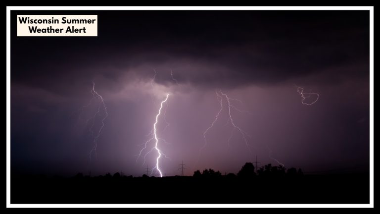
Storms Hit Pennsylvania and New Jersey Friday Night—Here’s When to Stay Indoors
If you are in Pennsylvania and New Jersey, you should enjoy nice weather. Tonight brings comfortably cool temperatures with lows around 50°F and a peaceful vibe across the region—but don’t get too cozy. A round of thunderstorms is brewing, and it’s set to shake things up by Friday evening.
Cities like Philadelphia, Trenton, Newark, and Allentown will all enjoy a calm Thursday night under partly cloudy skies and light breezes. It’s the kind of weather that makes for perfect patio dinners, evening jogs, or opening the windows for a breath of fresh spring air.
But hang onto your umbrellas—Pennsylvania and New Jersey weather is about to take a turn.
Storms Rolling In Friday Evening
As we move into Friday, warm, humid air will build throughout the day. It might feel almost summer-like by the afternoon, with highs near the upper 70s. That heat? It’s a sign that things are getting unstable.
By late Friday afternoon into the evening, a system is expected to sweep through with thunderstorms, gusty winds, and localized downpours. It won’t be a full-blown severe outbreak, but it’s enough to mess with dinner plans or your drive home.
Here’s what to watch out for:
-
Heavy rain in some areas, especially after 6 PM
-
Winds up to 40 mph
-
Lightning, especially around central NJ and southeastern PA
If you’ve got Friday evening plans, don’t cancel—just plan smart. Check radar, grab a rain jacket, and be ready to duck inside if things turn quickly.
Commuter Heads-Up
If you’re driving along I-95, the Garden State Parkway, or I-78, keep an eye on traffic alerts. The rain could arrive right during peak travel hours, and wet roads mean slower travel and a higher risk of fender benders.
Looking Ahead: The Weekend
Here’s the silver lining: once the Friday night storms pass, the weekend looks pretty solid.
-
Saturday: Some clouds early, then clearing. Temps in the mid-60s°F.
-
Sunday: Bright, sunny, and mild with highs near 70°F. Perfect for brunch, hikes, or anything outdoors.
So while the Pennsylvania and New Jersey weather might feel a little wild Friday night, you’ll be back to sunshine and spring vibes in no time.
Pro Tips to Prepare
-
Charge your phone Friday morning (just in case).
-
Bring in any lightweight outdoor furniture or flags.
-
Don’t forget to check gutters or drains if you’ve seen flooding before.
-
And keep the umbrella or raincoat handy—it’s spring, after all.
FAQ About Pennsylvania Weather Alert
1. When are the thunderstorms expected to hit Pennsylvania and New Jersey?
Storms are expected to roll in late Friday afternoon into the evening hours, generally after 5 or 6 PM. Areas like Philadelphia, Newark, and Trenton could see the heaviest rain during that time.
2. Will the storms be severe?
While widespread severe weather isn’t likely, some thunderstorms could be strong, bringing heavy rain, wind gusts up to 40 mph, and lightning. It’s the kind of weather that might not shut things down—but could definitely delay or disrupt your plans.
3. What should I do to prepare for Friday evening storms?
A few quick steps can help you stay safe and dry:
-
Check the latest forecast before heading out.
-
Carry an umbrella or raincoat.
-
If you’re driving, expect slower traffic and use extra caution.
-
Secure any lightweight outdoor items that could blow around.
4. Will the storms ruin the whole weekend?
Not at all. The rain should clear out overnight Friday, leaving Saturday partly cloudy and Sunday sunny and pleasant, with highs near 70°F. Most weekend plans will be just fine!
5. Which areas are most likely to be impacted by the rain?
The I-95 corridor—from Philadelphia to Newark and into central New Jersey—will likely see the most consistent rainfall. Keep an eye out if you’re traveling along I-78, I-80, or the Garden State Parkway, where conditions could get slick.

