Memphis Storm Warning: Why You Shouldn’t Ignore This Tennessee Spring Weather Alert
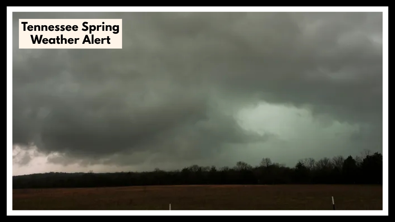
Heads up, Memphis — it’s going to be a wild week. A Tennessee Spring Weather Alert is now in effect as a slow-moving storm system targets the region starting Tuesday and lasting through Friday. With heavy rain, strong thunderstorms, gusty winds, and the possibility of hail all on the table, this stretch of weather could cause serious headaches for travelers and residents alike. If you’re planning to be out and about this week, you’ll want to keep an eye on the sky — and maybe a backup plan in your pocket.
What’s Fueling the Tennessee Spring Weather Alert?
This latest bout of unsettled weather is all thanks to a powerful frontal boundary sweeping across the central U.S., pulling warm, moist air from the south straight into cooler air from the north. When those two clash, it’s a recipe for trouble: heavy thunderstorms, intense downpours, and even localized flooding.
According to the National Weather Service, the most dangerous weather is likely to hit late Wednesday into Thursday morning. With the Tennessee Spring Weather Alert in place, residents across Memphis and surrounding areas need to be ready for sudden changes — blue skies could turn stormy fast.
Here’s what we’re looking at:
-
Heavy Rain: Several rounds of storms could dump 2–5 inches of rain over a few days, causing flash flooding in low-lying spots.
-
Damaging Winds: Gusts up to 60 mph could down trees, knock out power, and make driving hazardous, especially for trucks and high-profile vehicles.
-
Large Hail: Some storms could produce hail big enough to dent cars, smash windows, and ruin gardens.
-
Lightning: Frequent and dangerous lightning strikes will be a major hazard with these storms.
If you’re driving, especially along major highways like I-40 or I-55, expect slowdowns and tough conditions — and if possible, plan to stay off the roads when storms are peaking.
Staying Safe During the Tennessee Storms
With the Tennessee Spring Weather Alert lasting through Friday, a little preparation now can make a big difference later. Here’s what you should do:
-
Stay Connected: Use weather apps or a NOAA weather radio for real-time updates.
-
Charge Everything: Phones, flashlights, backup batteries — power outages are likely.
-
Avoid Travel: If storms are active, wait it out if you can. Driving through blinding rain or floodwaters isn’t worth the risk.
-
Secure Loose Items: Bring in outdoor furniture, trash bins, and decorations so they don’t become airborne hazards.
-
Know Your Safe Spot: In case of severe storms or tornado warnings, make sure you have a safe indoor spot away from windows ready.
When Will the Weather Calm Down?
Relief is on the horizon. The storms should start moving out by early Friday, leaving behind clearing skies and much nicer spring weather just in time for the weekend. Friday afternoon looks promising, with plenty of sun and cooler, less humid air moving in — a well-earned reward after a stormy week.
FAQ About Tennessee Spring Weather Alert
1. What exactly is the Tennessee Spring Weather Alert about?
The Tennessee Spring Weather Alert is a warning from the National Weather Service about a strong storm system moving through Memphis and surrounding areas from Tuesday through Friday. Expect heavy rain, powerful thunderstorms, strong winds, hail, and the possibility of flash flooding during this stretch of unsettled weather.
2. When will the weather finally improve?
The worst of the storms should clear out by early Friday morning. You might still see a few showers into midday Friday, but after that, skies should brighten up. By the weekend, Memphis should be back to enjoying mild, classic springtime weather.