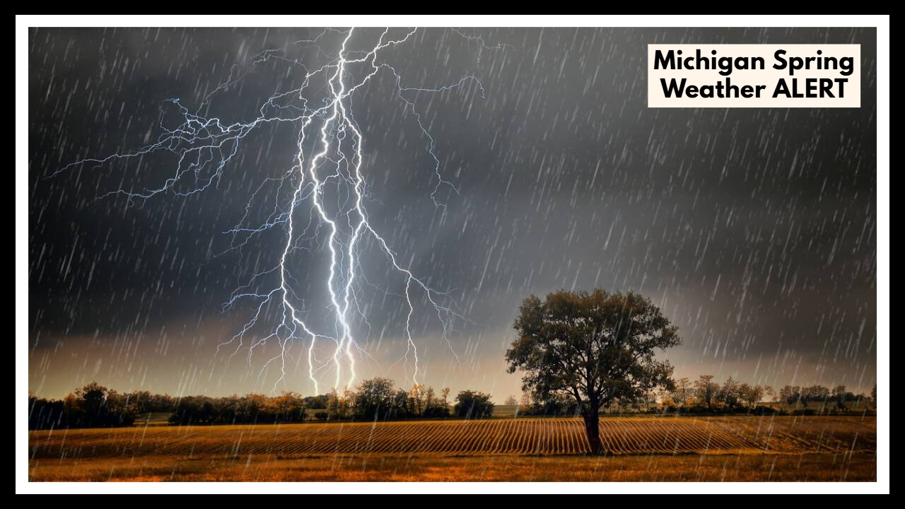
Michigan Spring Weather ALERT: Marquette Braces for Severe Thunderstorms and Major Flooding!
If you live in Marquette or along the US-41 corridor, you’ll want to pay close attention this week. A Michigan Spring Weather ALERT has been issued, and it looks like some rough weather is heading our way starting Monday afternoon. Forecasters are warning of everything from severe thunderstorms and heavy rain to strong winds and a real threat of river flooding. Whether you’re commuting, running errands, or just planning your week, it’s a good idea to stay weather-aware and ready for quick changes.
What’s Driving This Michigan Spring Weather ALERT?
This Michigan Spring Weather ALERT isn’t your average spring shower. A strong low-pressure system is sweeping through the Great Lakes, pulling in warm, moisture-packed air—and that combination is setting the stage for a stormy start to the week.
Here’s a quick look at what’s on the table:
-
Damaging Winds: Gusts up to 60 mph could easily bring down tree limbs and power lines. That means not only potential power outages but also some tough driving conditions, especially for bigger vehicles like RVs and trucks.
-
Large Hail: Some of the stronger storms could produce hail as big as quarters. Not only can that kind of hail ding up your car or damage your roof, but it can also be dangerous if you’re caught outside.
-
Heavy Rain and Flash Flooding: Expect bursts of rain heavy enough to flood streets, overwhelm drains, and send smaller streams and creeks surging. Low-lying areas could get messy very quickly.
-
Frequent Lightning: Lightning strikes will be common, upping the risk for fires, power surges, and outdoor accidents.
The roughest patch of weather is expected late Monday into Tuesday evening. So if you’re planning any travel along US-41—or anywhere around Marquette—you’ll want to keep a very close eye on conditions.
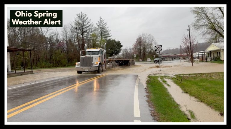
Flooding: A Growing Concern for Marquette and Surrounding Areas
As if the thunderstorms weren’t enough, river flooding is another big worry this week. Snowmelt has already filled rivers across the Upper Peninsula to the brim, and now this new round of heavy rain could push them even further.
Places near the Chocolay River, the Dead River Basin, and other flood-prone spots should be extra cautious. Minor to moderate flooding could easily lead to closed roads, stranded cars, and even evacuations if water levels rise too quickly. If you live near a river or creek, now’s a smart time to pack a small “go-bag” with essentials—just in case you need to leave home in a hurry.
How You Can Stay Safe During the Michigan Spring Storm
You can’t control the weather, but you can definitely be ready for it. Here’s how:
-
Stay Updated: Keep your phone charged and check weather alerts regularly. A NOAA weather radio can be a real lifesaver if cell service goes down.
-
Delay Non-Essential Travel: If you don’t absolutely have to be out, it’s better to stay put. Roads can become dangerous fast, especially if there’s flooding or debris.
-
Prepare Your Property: Tie down or bring inside anything that could blow away—like patio furniture or trash bins. Also, double-check that you have flashlights, bottled water, snacks, and extra batteries on hand.
-
Know Where to Shelter: If a tornado or flood warning is issued, know your safest spot—preferably an interior room away from windows or a basement.
Storms in Michigan can change in a heartbeat, so being a little extra prepared now could make a big difference later.
When Will the Storms Let Up?
Here’s the silver lining: the worst of the stormy weather should push out by early Wednesday morning. You might still see a few showers hanging around during the day, but the bigger threats—hail, strong winds, and flooding—should ease up.
By Thursday and Friday, we should finally see a return to some normal springtime weather: cool mornings, a little sun, and much calmer skies.
FAQ About Michigan Spring Weather ALERT
1. Who needs to be most concerned about this Michigan Spring Weather ALERT?
If you’re in Marquette or traveling along the US-41 corridor, you’ll want to stay especially alert. People living near rivers like the Chocolay and Dead River Basin should be ready too, since rising waters could cause some real flooding problems.
2. When is the worst of the weather expected to hit?
The biggest punch from this storm is expected late Monday afternoon and into Tuesday evening. If you’ve got errands or travel planned, it’s smart to wrap things up early and stay off the roads once the storms start moving through.
3. How long will this bad weather stick around?
The rough stuff should start calming down by early Wednesday morning. You might still see a few leftover showers after that, but the big threats like flooding and hail should be mostly behind us. By Thursday and Friday, we’re looking at more normal spring weather—cooler mornings and some sunshine in the afternoons.