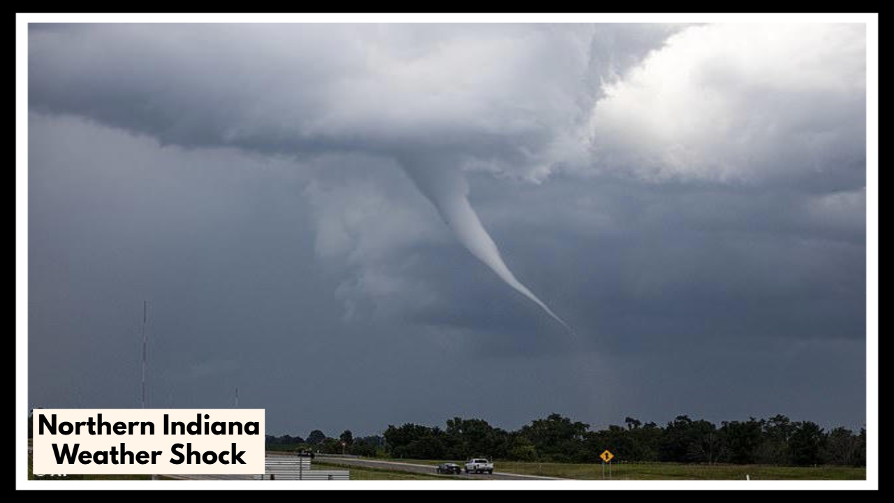
Northern Indiana Weather Shock: Today’s 70s Could Plunge to 40s by Tonight
If you’re enjoying the sunshine today, you might want to soak it up while you can—because the Northern Indiana weather is about to flip the script. After a beautiful, warm Saturday with highs in the mid to upper 70s, a cold front is moving in and will start cooling things down by around 6 PM.
For much of the day, areas like Fort Wayne and South Bend have been treated to clear skies and ideal spring conditions. In Fort Wayne, the high climbed to 78°F, while South Bend saw a comfortable 71°F. But as the sun starts to dip, don’t be surprised if it suddenly feels a lot more like early spring—or even late winter. Evening temperatures are expected to tumble quickly, dropping into the mid-40s overnight.
Northern Indiana Weather: Sudden Cooldown Expected by Dinnertime
The Northern Indiana weather shift is being driven by a cold front that’s quietly sweeping across the region. It’s not bringing thunderstorms or severe weather, but it will bring a sharp contrast to the day’s warm start. This type of drop—30 degrees or more between the afternoon and evening—isn’t uncommon in the Midwest, but it can still catch people off guard.
If you have evening plans—maybe dinner out, a local event, or just a walk after work—don’t forget a jacket. That sunny afternoon warmth will be long gone by the time you’re wrapping up the night. And if you’re sensitive to temperature swings, especially kids or older adults, it’s best to plan ahead.
Looking ahead, the cooler weather will stick around for the next few days. Highs on Sunday and into next week will stay in the 50s and low 60s before temperatures gradually rebound. No storms are in sight for now, just a cool, quiet start to the second half of the weekend.
So, enjoy the spring sunshine while you’ve got it—but maybe don’t put away the sweaters just yet.
FAQ About Northern Indiana Weather
1. How much of a temperature drop are we talking about?
Temperatures could drop by more than 30 degrees from the afternoon high. For example, Fort Wayne is seeing highs near 78°F, but by late evening, it’ll dip into the mid-40s. So yes—it’ll feel dramatically different once the sun goes down.
2. What time will the cold front hit Northern Indiana?
The cold front is expected to move through by around 6 PM on Saturday evening. That’s when you’ll start to feel the cooler air settling in. By nighttime, it’ll feel much chillier, especially if you’re outside.
3. Is any rain or severe weather expected with this front?
Nope—this front is dry and calm. There’s no rain or storm activity expected with it, just a noticeable shift in temperature. It’s a classic spring cooldown, not a storm event.
4. Should I change my weekend plans because of this?
You probably don’t need to cancel anything, but it’s smart to plan ahead. If you’ll be outside in the evening, bring a jacket or dress in layers. The sudden drop can make a big difference if you’re unprepared.
5. How long will the cooler weather stick around?
The cooler air will linger through the rest of the weekend and into early next week. Expect daytime highs in the 50s and low 60s before it starts warming up again midweek.