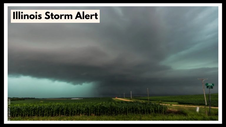
Iowa Weather Alert: Thunderstorms and a 50% Chance of Rain in Davenport—What You Need to Know!
Davenport, Iowa, is in for some wild weather this week, with an Iowa Weather Alert issued for Tuesday, May 13. Thunderstorms are a real possibility, with a 50% chance of rain in the afternoon. The weather will take an unpredictable turn, so if you’re in the area, it’s a good idea to keep your umbrella handy and be prepared for changes throughout the week. After Tuesday’s unsettled weather, temperatures will start climbing, with a sizzling heatwave expected to reach 90°F by Thursday. Here’s everything you need to know to stay ahead of the stormy and hot days ahead.
What’s Coming This Week:
Tuesday, May 13, 2025: Thunderstorms and a 50% Chance of Rain
Tuesday is shaping up to be a mixed day, with scattered thunderstorms expected to roll in by the afternoon. The Iowa Weather Alert is in effect as rain and thunderstorms are likely to bring brief, heavy downpours. Temperatures will peak around 78°F (26°C), with a low of 58°F (15°C) at night. Be ready for a wet and stormy afternoon, with gusty winds and the potential for lightning.
If you have outdoor plans, it’s best to keep an eye on the weather and stay updated, as storms can develop quickly. A thunderstorm watch means you should head inside when the weather takes a turn, as lightning and gusty winds can pose a risk.
Wednesday, May 14, 2025: Sunshine and Rising Temperatures
The weather will calm down on Wednesday, but don’t get too comfortable — temperatures will heat up. Expect mostly sunny skies with a high of 87°F (30°C) and a low of 65°F (18°C). While the risk of storms is lower, a few isolated showers or storms could pop up later in the day. It’s a great day to get outside, but remember, it’ll start to feel a bit humid, so be ready for some sticky air.
Thursday, May 15, 2025: Hot and Stormy Afternoon
Thursday will be the hottest day of the week, with temperatures pushing into the low 90s (around 91°F or 33°C). As the heat builds, severe thunderstorms could develop in the afternoon, bringing a risk of heavy rainfall, strong winds, and hail. If you’re planning to be outside, make sure you’re ready for intense heat, and stay updated on the potential for severe storms. Temperatures will cool off slightly overnight, dropping to 59°F (15°C).
Staying Safe and Prepared:
-
Tuesday Thunderstorms: The Iowa Weather Alert for Tuesday means that thunderstorms are expected to develop quickly. If you’re caught in a storm, make sure to find shelter indoors and stay away from windows. If you’re planning on being out, keep an eye on the sky and be ready to head indoors at the first sign of a thunderstorm.
-
Wednesday’s Warmth: As the temperature climbs on Wednesday, make sure to stay hydrated and protect yourself from the heat. It’s going to feel like summer, so limit your time in direct sunlight during the hottest parts of the day.
-
Thursday’s Severe Weather: On Thursday, the weather will turn extreme with the potential for severe storms. If you hear thunder or see darkening skies, take it as a sign that conditions could worsen quickly. Stay tuned to local weather updates, and if a severe weather warning is issued, find shelter immediately.
Why This Week’s Weather Matters:
The wild swings in weather this week are a reminder of how quickly conditions can change. From thunderstorms on Tuesday to scorching heat and possible severe storms on Thursday, Davenport residents need to be on alert. Whether you’re dealing with storms, humidity, or extreme heat, being prepared for all types of weather will keep you safe and comfortable. Make sure to keep your plans flexible, stay informed, and follow safety tips to navigate the week ahead.
FAQ About Iowa Weather Alert
1. What’s this Iowa Weather Alert all about for Davenport?
Basically, the Iowa Weather Alert is a heads-up that we’re in for a wild weather week in Davenport. We’re talking thunderstorms rolling in on Tuesday with a decent chance of rain, and then turning up the heat by Thursday — we could be pushing 90°F or more. It’s the kind of week where keeping an eye on the forecast really matters.
2. When should I really start paying attention to the weather?
Tuesday afternoon is the first time to watch for storms — there’s about a 50/50 shot it’ll rain, and we might hear some thunder. But Thursday? That’s the big one. It’s expected to be hot and stormy, with a chance of strong storms in the afternoon that could bring heavy rain, wind, or even hail. So yeah, Thursday’s a day to stay weather-aware.
3. Is it okay to be outside when the heat and storms hit?
It depends. If storms start popping up Tuesday or Thursday, it’s best to head indoors — lightning, wind, and heavy rain can sneak up fast. And with temps climbing into the 90s, especially Thursday, you’ll want to stay cool, drink lots of water, and maybe skip that afternoon run or yardwork until things cool down.
4. How do I keep up with all these weather changes?
Your best bet is to use a good weather app or follow local news or the National Weather Service. Most apps let you set up alerts so you’ll get a warning if something serious is on the way. Checking the forecast in the morning can help you plan your day without getting caught in a storm.
5. What should I do if a bad storm hits while I’m at home or outside?
If you’re home and a storm warning goes off, head to a safe spot — ideally a basement or an interior room away from windows. If you’re out and about, try to find sturdy shelter fast (not under a tree or in an open field). It’s also smart to have an emergency kit ready with things like a flashlight, phone charger, bottled water, and snacks, just in case the power goes out.