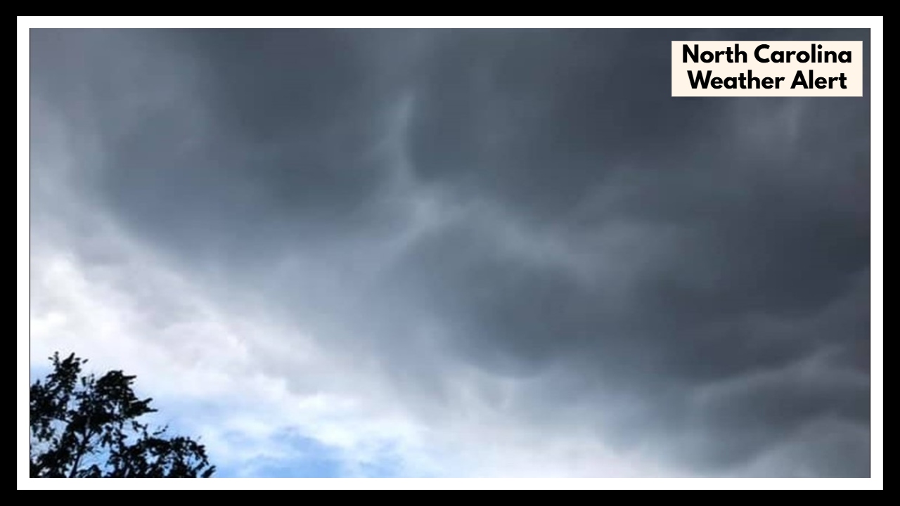
North Carolina Weather Alert Issued—Is Charlotte in the Danger Zone?
A North Carolina Weather Alert has been issued as a strong storm system approaches the Queen City, bringing with it a high chance—around 80%—of rain and thunderstorms by Wednesday afternoon. While it’s not expected to be a severe weather outbreak, these storms could cause more than just a wet commute. Flash flooding, gusty winds, and travel delays are all possibilities.
If you live in or around Charlotte, now is a good time to take a look at your midweek plans and prepare for a potentially stormy stretch.
What’s Really Heading Our Way?
Charlotte’s weather on Wednesday will start off fairly calm—mild temperatures and some patchy sun in the morning. But by the afternoon, things could turn quickly. Forecasters say a warm, humid atmosphere combined with an approaching front will trigger scattered thunderstorms across the region.
-
High: 77°F
-
Low: 62°F
-
Rain Chance: 80%
-
Main Threats: Heavy rainfall, strong wind gusts, and possible flooding in low-lying or poorly drained areas.
While this may sound typical for spring in the Carolinas, this North Carolina Weather Alert matters because of timing. The storms are expected to roll in right around the time people are hitting the road for the evening commute or heading out for after-work activities. That could mean traffic slowdowns, minor flooding, and reduced visibility on the roads.
North Carolina Weather Alert: Why You Should Take This Seriously
This isn’t necessarily a “cancel your day” type of storm, but it’s not something to ignore either. Even non-severe thunderstorms can disrupt your plans, especially in urban areas like Charlotte where storm drains can get overwhelmed quickly.
If you’ve got errands to run or a long drive planned on Wednesday, you may want to shift things earlier in the day—just in case. The good news? Things are expected to calm down by late Wednesday night, with drier weather moving in for Thursday and the rest of the week.
How to Stay One Step Ahead of the Storm
Here’s what you can do right now:
-
Keep an eye on updates from reliable sources like the National Weather Service.
-
Charge your devices ahead of time in case of power outages.
-
Avoid driving through flooded streets—just a few inches of water can do serious damage.
-
Secure outdoor furniture or decor that could blow away during strong winds.
-
Double-check your schedule—rescheduling that evening workout or dinner might save you a headache.
FAQ About North Carolina Weather
1. Is there a serious weather warning in Charlotte right now?
Not at the moment—there’s no severe storm warning as of now. But we do have a North Carolina Weather Alert because thunderstorms are pretty likely by Wednesday afternoon, and they could get heavy. It’s not something to panic over, but it’s definitely worth keeping an eye on.
2. When should I expect the rain and storms to actually hit?
The latest forecast points to Wednesday afternoon into the evening—right around rush hour. So if you’re driving home or picking up the kids from practice, that’s when things could get messy with heavy rain and slick roads.
3. Are these storms dangerous, or is it just regular rain?
It’s mostly expected to be your typical spring thunderstorms, but they could still cause problems—like flash flooding in some areas or gusty winds that might knock things around. Even if it’s not labeled “severe,” storms like this can still cause headaches if you’re out and about.