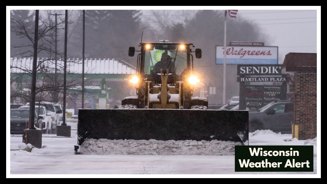
Wisconsin Weather Alert Issued: What You Need to Know Before You Hit the Road Friday
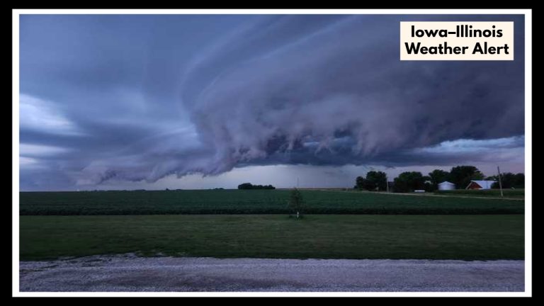
A powerful storm system is brewing over northeastern Wisconsin, and it’s shaping up to be a disruptive afternoon for anyone on the road. In this Wisconsin Weather Alert, the National Weather Service is warning that strong thunderstorms—some possibly severe—could bring damaging winds, large hail, and sudden downpours across the Green Bay area this Friday, with Highway 41 expected to be directly impacted.
If you’ve got travel plans along Hwy 41 between Oshkosh, Appleton, and Green Bay, this is a forecast you don’t want to ignore.
What’s in the Forecast?
Meteorologists are tracking a volatile mix of heat, humidity, and an advancing cold front that is expected to spark widespread storm activity beginning early Friday afternoon. These storms have the potential to strengthen quickly, and forecasters are especially concerned about:
-
Strong Wind Gusts: Up to 60 mph—enough to topple trees and make driving hazardous.
-
Large Hail: Potential to damage vehicles and property, especially if caught in open areas.
-
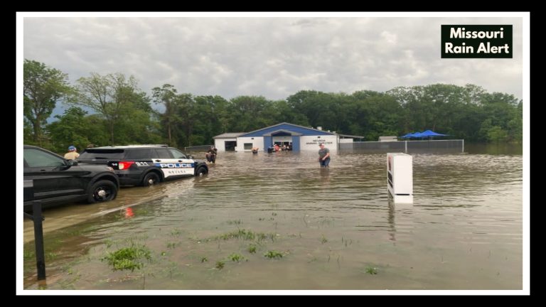
Heavy Rainfall: May lead to quick flooding on roads and in low-lying areas.
-
Isolated Tornadoes: Though not guaranteed, atmospheric conditions support the possibility of brief spin-ups.
Wisconsin Weather Alert: What It Means for Hwy 41 Travelers
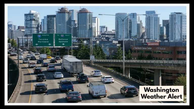
Highway 41 is one of the busiest corridors in northeast Wisconsin, and Friday’s weather could turn a routine drive into a high-stakes challenge. With storms likely to hit during peak afternoon travel, drivers can expect sudden changes in visibility, slick pavement, and debris or standing water on the roadway.
If your trip isn’t essential, the best advice is to wait until the storms move through. If travel can’t be avoided, make sure your vehicle is storm-ready and that you have a plan in case you need to pull over safely.
Your Weekend Weather Outlook
The good news? Relief is coming. After Friday’s stormy conditions, temperatures will drop and things will calm down. Expect a cool, breezy Saturday with some lingering clouds and showers. The rest of the weekend looks seasonable and quiet, a welcome break from the chaos of Friday’s forecast.
Stay Safe, Stay Ready
Severe weather is always unpredictable, but that doesn’t mean you have to be unprepared. Pay close attention to Wisconsin Weather Alerts issued by the National Weather Service, use weather apps or radio alerts, and give yourself extra time and space if you’re out driving during storms.
Remember, it only takes one strong cell to knock out power, damage property, or cause a dangerous situation on the road. Being alert and informed is your best protection.
For real-time radar, watches, and warnings, visit the National Weather Service Green Bay.
FAQ About Wisconsin Weather
1. Who should be paying attention to this Wisconsin Weather Alert?
If you’re in northeastern Wisconsin—especially around Green Bay, Appleton, or Oshkosh—this alert is for you. Anyone planning to drive on Highway 41 Friday afternoon should take it seriously. That stretch could get hit hard by storms right when many people are on the road.
3. When’s the worst time to be on the road?
The storms are most likely to roll through between 1 PM and 7 PM on Friday, May 16. That means the afternoon and early evening hours could be rough, especially for drivers on Hwy 41. If you can avoid traveling during that window, it’s a good idea to stay put.