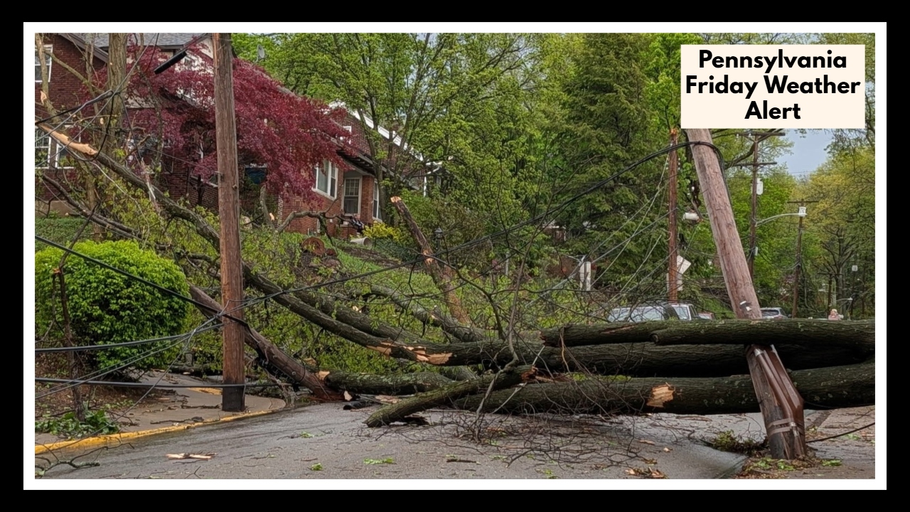
Pennsylvania Friday Weather Alert: How Bad Will It Get in State College?
If you’re heading out early on Friday in State College or planning to drive along I-99, keep an umbrella close and your travel plans flexible. The Pennsylvania Friday Weather Alert is calling for a messy start to the day, with thunderstorms likely to develop before noon. The forecast shows an 80% chance of rain, with gusty winds and frequent lightning making things even more unpredictable.
What to Expect from the Pennsylvania Friday Weather Alert
The weather system moving through central Pennsylvania will bring widespread showers and storms between 9 a.m. and 1 p.m. While this isn’t a severe storm threat, it’s enough to slow down your commute, cancel morning outdoor plans, or make you rethink that coffee run.
Winds could gust up to 30 mph, and you might see heavy rain in short bursts. Lightning will be around too, so it’s not a good time to be caught outdoors or driving without caution. If you’re near State College or driving on I-99, you’ll definitely want to stay weather-aware.
What You Can Do to Stay Ahead
-
Check the radar before heading out in the morning
-
Give yourself extra time on the road—conditions may be slippery and visibility could drop quickly
-
Bring inside anything light or loose outdoors, like trash cans or patio chairs
-
If you’re planning to be outdoors, have a backup plan or stay near shelter
After the Rain Clears…
The good news? Once this system moves through by early afternoon, skies should begin to clear. The rest of Friday looks calm, and Saturday is shaping up to be gorgeous—sunny with highs in the low 70s, perfect for outdoor plans or catching up on anything Friday’s weather may delay.
FAQ About Pennsylvania Friday Weather
1. What is the Pennsylvania Friday Weather Alert actually warning us about?
This alert is letting people in the State College area—and especially anyone driving along I-99—know that thunderstorms are expected late Friday morning. Rain chances are high (around 80%), and there could be strong wind gusts and lightning.
2. When will the worst of the weather hit?
The stormy conditions are most likely between 9 a.m. and 1 p.m. That’s when you’ll want to be extra cautious, especially if you’re commuting or planning anything outdoors.
3. How much rain are we talking about?
You can expect some heavy bursts of rain, potentially dropping up to an inch in some areas. It could cause ponding on roads or minor flooding in low spots.
4. Will this storm be dangerous?
It’s not classified as severe, but gusty winds (up to 30 mph) and frequent lightning can make conditions risky—especially if you’re outside or on the road. It’s best to stay alert and play it safe.
5. What’s the weather look like after the storm passes?
Once the storms move out in the early afternoon, things should calm down. The rest of Friday will be milder, and Saturday looks sunny and comfortable—a perfect start to the weekend.