North Carolina Thunderstorm Watch Issued for 44 Counties—Here’s What You Need to Know Before Noon
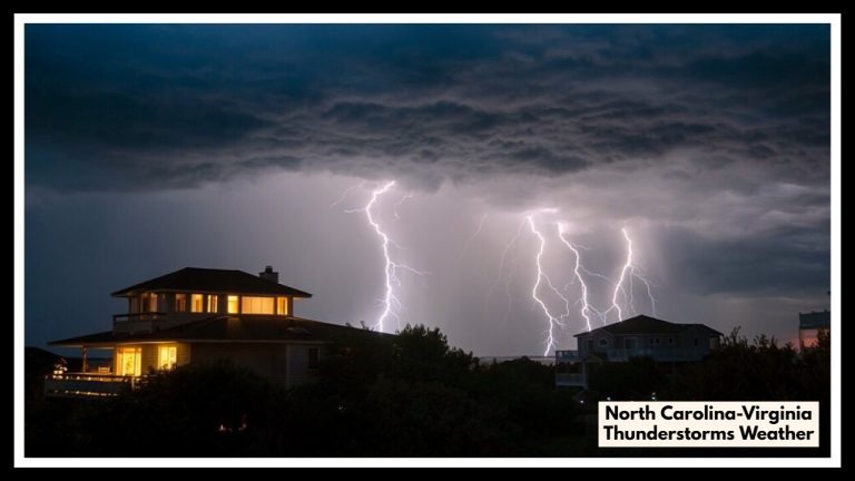
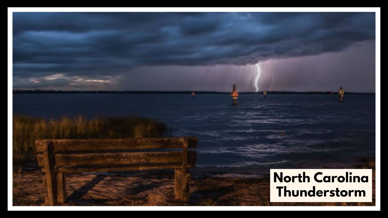
A powerful North Carolina thunderstorm system rolled in early Saturday, placing 44 counties under a Severe Thunderstorm Watch that will remain in effect until noon. From the foothills to the central part of the state, families woke up to dark skies and the growing threat of damaging winds, large hail, and heavy rainfall.
This isn’t just your average weekend storm. The National Weather Service is warning that wind gusts could reach up to 60 miles per hour, with hail as large as ping pong balls and rain heavy enough to cause localized flash flooding. For many across areas like Wake, Durham, Guilford, and Mecklenburg Counties, the morning has turned into a waiting game—one that could quickly turn dangerous if conditions worsen.
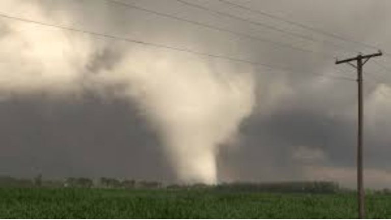
The North Carolina thunderstorm alert covers a wide swath of the state, signaling just how unstable the atmosphere has become. Counties on the list include Alamance, Catawba, Chatham, Lincoln, Union, Randolph, and many more. While an outbreak of tornadoes is not expected, forecasters warn that isolated twisters can’t be ruled out in stronger cells.
So what does this mean for you? If you’re in one of the affected areas, now is the time to take simple but important steps to stay safe. Bring in anything outdoors that could blow away, stay off the roads if you can, and keep your phone charged and emergency alerts turned on. With a storm system this widespread, things can shift fast.
The most intense part of the storm is expected to pass by early afternoon, but pockets of severe weather may stick around a little longer in some parts of the state. As always, keeping up with real-time alerts and staying weather-aware is your best line of defense.
You can follow the latest developments directly from the National Weather Service at weather.gov or through local news apps.
This North Carolina thunderstorm may not be the last of the season—but treating it seriously could be what keeps you and your loved ones safe.
FAQ About North Carolina Thunderstorm Weather
1. What does a Severe Thunderstorm Watch actually mean?
Think of it as a “heads-up.” It means the weather could turn nasty—strong winds, hail, heavy rain—but it’s not happening right now. It’s your chance to pay attention, get ready, and not be caught off guard.
2. Which areas should really be on alert?
A pretty big part of the state, actually. Counties like Wake, Durham, Mecklenburg, Guilford, and Forsyth are all on the list. If you live in or near those spots, it’s a good idea to take this seriously and keep an eye on the sky.
3. What kind of trouble could this storm bring?
We’re talking strong winds that can knock down branches or cause power outages, hail big enough to dent your car or roof, and heavy rain that might lead to flash flooding. There’s even a small chance of a tornado, so staying prepared is key.
4. What should I do to keep myself and my family safe?
Keep it simple: stay inside, away from windows, bring any outdoor stuff inside, charge your phone, have a flashlight handy, and don’t drive unless you really need to. And keep checking your weather app or local news for updates.
5. Where can I find the best, most up-to-date info?
The National Weather Service website—weather.gov—is your best bet. Local news stations, weather apps, and NOAA Weather Radio are great too. They’ll give you the latest info so you’re never caught off guard.