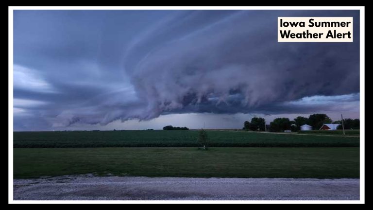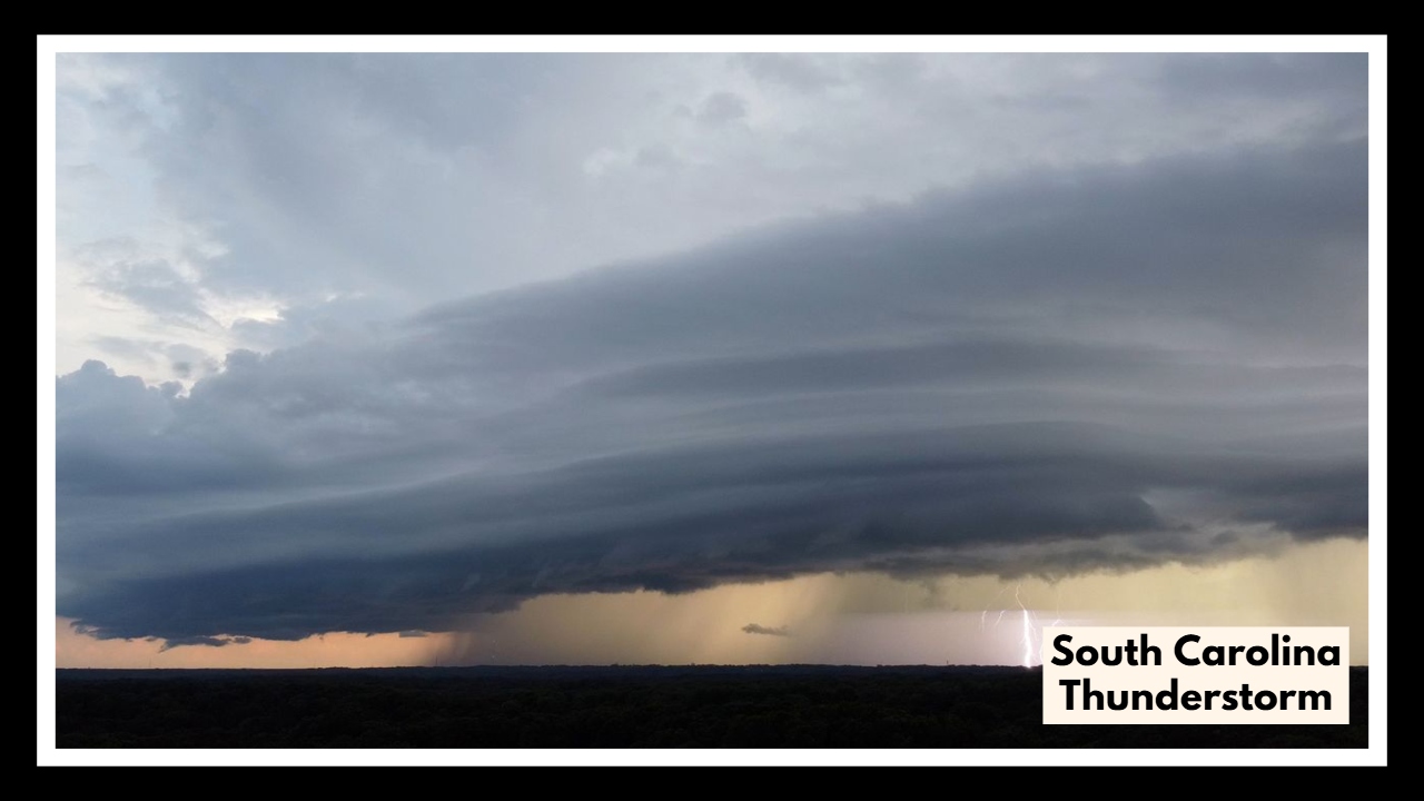
South Carolina Thunderstorm Watch Issued—Here’s What You Need to Know Before Noon
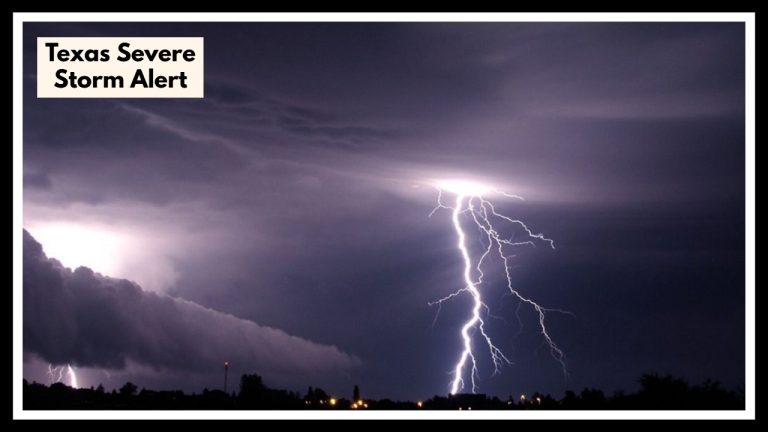
If you’re in the Upstate region of South Carolina this Saturday morning, there’s a serious weather alert you shouldn’t ignore. A South Carolina thunderstorm watch is in effect until noon for counties including Greenville, Spartanburg, Anderson, Cherokee, Oconee, Pickens, and York. The National Weather Service is warning that these storms could pack a punch—bringing high winds and hail that could damage property or disrupt plans.
So far this morning, skies are cloudy and temperatures are hovering in the low 70s across much of the region. But don’t let the calm fool you. Storms are expected to roll in during the early morning hours, and they may come in fast and strong. Forecasters are warning of wind gusts up to 60 mph and hail roughly the size of nickels. That kind of weather can knock out power, take down trees, and make driving downright dangerous.
What makes a South Carolina thunderstorm particularly tricky is how quickly it can sneak up. One minute it’s just cloudy, and the next you’re dealing with sideways rain and shaking windows. That’s why it’s a good idea to bring in anything from your yard that might blow around—trash cans, garden tools, even patio chairs—and keep your phone charged in case of outages. Also, if you don’t have to be out on the roads this morning, it’s best to wait it out.
The watch is set to expire at noon, but weather is always unpredictable, especially in spring. Just because the clock says 12:01 doesn’t mean you’re in the clear. Stay tuned to local updates from the National Weather Service or your favorite news station so you can make smart, safe choices.
Storms like this don’t just pass through—they remind us how important it is to be ready, stay informed, and look out for one another.
FAQ About South Carolina Thunderstorm Weather
1. What does a thunderstorm watch really mean?
It basically means the weather’s setting up just right for storms to pop up. It doesn’t mean they’ve started yet, but there’s a good chance they could. So it’s your cue to keep an eye on the sky and stay tuned in.
2. How long do I need to be on alert?
This storm watch runs until noon today, so just stay weather-aware through the morning. Things might clear up by lunchtime, but storms can be sneaky and change plans fast—so don’t let your guard down too early.
3. What kind of storm are we talking about?
We’re looking at the kind that brings strong winds (up to 60 mph), hail, and a whole lot of rain. These aren’t little afternoon sprinkles—this kind of storm can knock out power or cause damage if it hits your area.
4. What should I actually do to get ready?
First, bring in anything outside that could blow away—trash cans, lawn chairs, the kids’ toys. Charge up your phone, check your weather app, and make sure everyone knows to head inside when the thunder starts rolling.
5. Where do I get updates without driving myself crazy?
Stick with trusted sources—the National Weather Service, your local TV station, or a weather app with alerts. If you’ve got a weather radio, that’s a solid backup. Just check in every so often and you’ll be one step ahead.