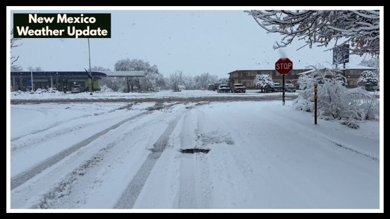
Missouri Weather Alert Update: What the Forecast Really Says About Thursday’s Storm Risk
If you’re in Springfield or anywhere near the Ozarks, don’t stash your umbrella just yet. A Missouri Weather Alert is in effect as the region gears up for a bit of everything—rain, cooler temps, and the chance of thunderstorms. While some earlier forecasts hyped up a 90% chance of showers for Thursday, the latest outlook offers a more balanced—and realistic—picture.
Thursday’s Forecast: Wet Start, But It Won’t Ruin Your Day
Thursday is shaping up to start on a soggy note, with scattered showers and possibly a quick thunderstorm rolling through in the morning. But don’t let that number scare you—updated data puts the rain chance closer to 50%. That means your morning drive might be a bit damp, but it’s not looking like a total washout.
By the afternoon, things start to improve. The clouds should begin to thin, giving us a peek at the sun here and there. Temperatures will stay on the cooler side for late May, with highs around 64°F and a breezy chill settling in by evening. Overnight lows are expected to dip into the low 50s—definitely a good night for an extra layer if you’re heading out.
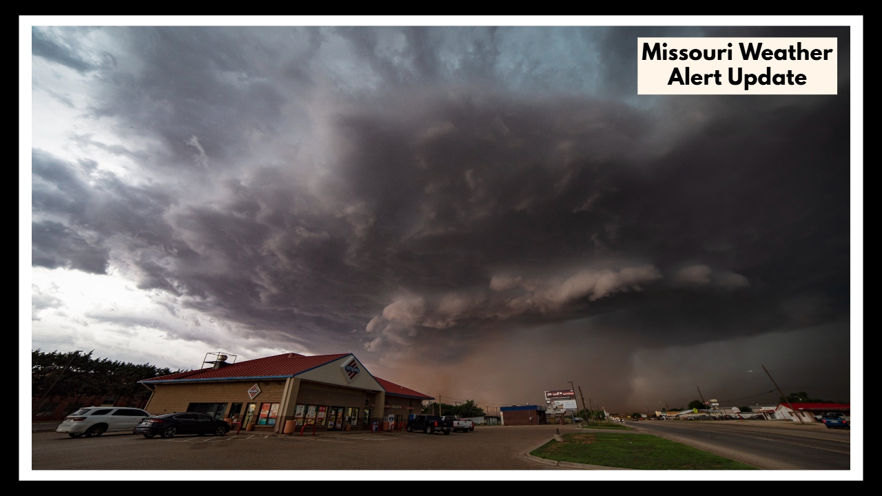
This kind of quick-shifting weather isn’t out of the ordinary for spring in Missouri. When warm, moist air clashes with drier, cooler air—especially after a cold front—this sort of “grab-a-jacket-and-an-umbrella” day is what we often get.
Friday Through Sunday: A Brief Break, Then Storms Return
Friday brings a bit of a breather. Expect partly sunny skies and a mellow vibe, with highs landing in the low 70s. It’s the kind of day you can finally catch up on mowing the lawn, take a walk, or just enjoy the fresh air without checking the radar every hour.
Saturday follows with a warm-up, but don’t let the sunshine lull you into a false sense of security. While much of the day will be nice, there’s a chance for pop-up storms in the afternoon. These won’t hit everyone, but the ones that do form could bring brief downpours or gusty winds. Highs should climb to about 78°F.
Sunday looks even better. Expect mostly sunny skies and warmer temps nearing 80°F. It’s looking like the pick of the weekend—perfect for a backyard barbecue, hitting the trails, or just lounging on the porch with a glass of sweet tea.
Missouri Weather Alert: Keep an Eye on the Early Week Forecast
Don’t get too comfy, though. As we head into Monday and Tuesday, another round of unsettled weather could make its way back to the region. Monday starts off nice enough—sunny, warm, and a little breezy, with highs in the low 80s. But by Tuesday, things turn murkier. Clouds will build, humidity will climb, and the next weather system could bring more rain and possibly more storms.
The National Weather Service has issued a Hazardous Weather Outlook—part of the ongoing Missouri Weather Alert—cautioning that there’s potential for heavy rain and thunderstorms early next week. While nothing severe is confirmed just yet, it’s a good idea to stay tuned, especially if you’ve got outdoor plans or travel lined up.
That headline about a “90% chance of showers” on Thursday? Turns out, it’s not quite that dramatic. But as any Missourian knows, our weather rarely sticks to the script. From scattered rain and surprise sunshine to those unpredictable pop-up storms, we’ve got a little bit of everything in the days ahead.
So, consider this your friendly reminder to keep your umbrella handy, charge up that weather app, and maybe make a backup plan or two for your weekend outings. Missouri’s weather might not always cooperate—but it sure does keep things interesting.
FAQ About Missouri Weather Alert
1. I heard there’s a 90% chance of rain on Thursday—is that true?
That number’s been floating around, but it’s a bit misleading. The most recent forecast actually puts Thursday’s rain chance closer to 50%. So yes, we’re likely to see some showers in the morning—maybe even a little thunder—but it’s not looking like an all-day downpour. You might get wet early on, but the skies should clear up a bit later.
2. What exactly is the Missouri Weather Alert, and should I be worried?
Good question. The Missouri Weather Alert just means we’re in for a stretch of iffy weather—think rain, cooler temps, and the possibility of some thunderstorms. It’s not a panic situation. There aren’t any severe warnings right now, but it’s a heads-up to keep an eye on the forecast, especially if you’ve got weekend plans.
3. Is the weekend going to be a total washout?
Not at all! In fact, most of the weekend is looking pretty nice. Friday and Sunday are expected to be dry and sunny—perfect for getting outside. Saturday could bring a quick afternoon storm in some areas, but it won’t last long. Just keep your eye on the sky and maybe have a backup plan, just in case.
4. What’s the deal with early next week—more storms coming?
Looks like it. Monday should be beautiful—sunny, warm, and great for kicking off the week. But by Tuesday, things could get a little more unsettled again. We’re talking more clouds, rising humidity, and a growing chance of showers or storms. Nothing severe is certain yet, but it’s something to watch.
5. How can I stay on top of the latest weather updates?
The best way? Bookmark the National Weather Service forecast for Springfield. It’s updated regularly and gives you the clearest picture of what’s coming. Local news stations and weather apps are great too, especially for getting real-time alerts if things change quickly.