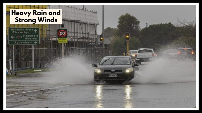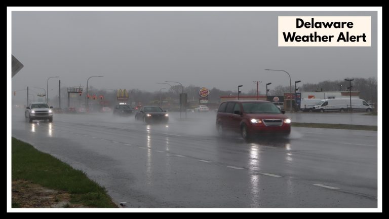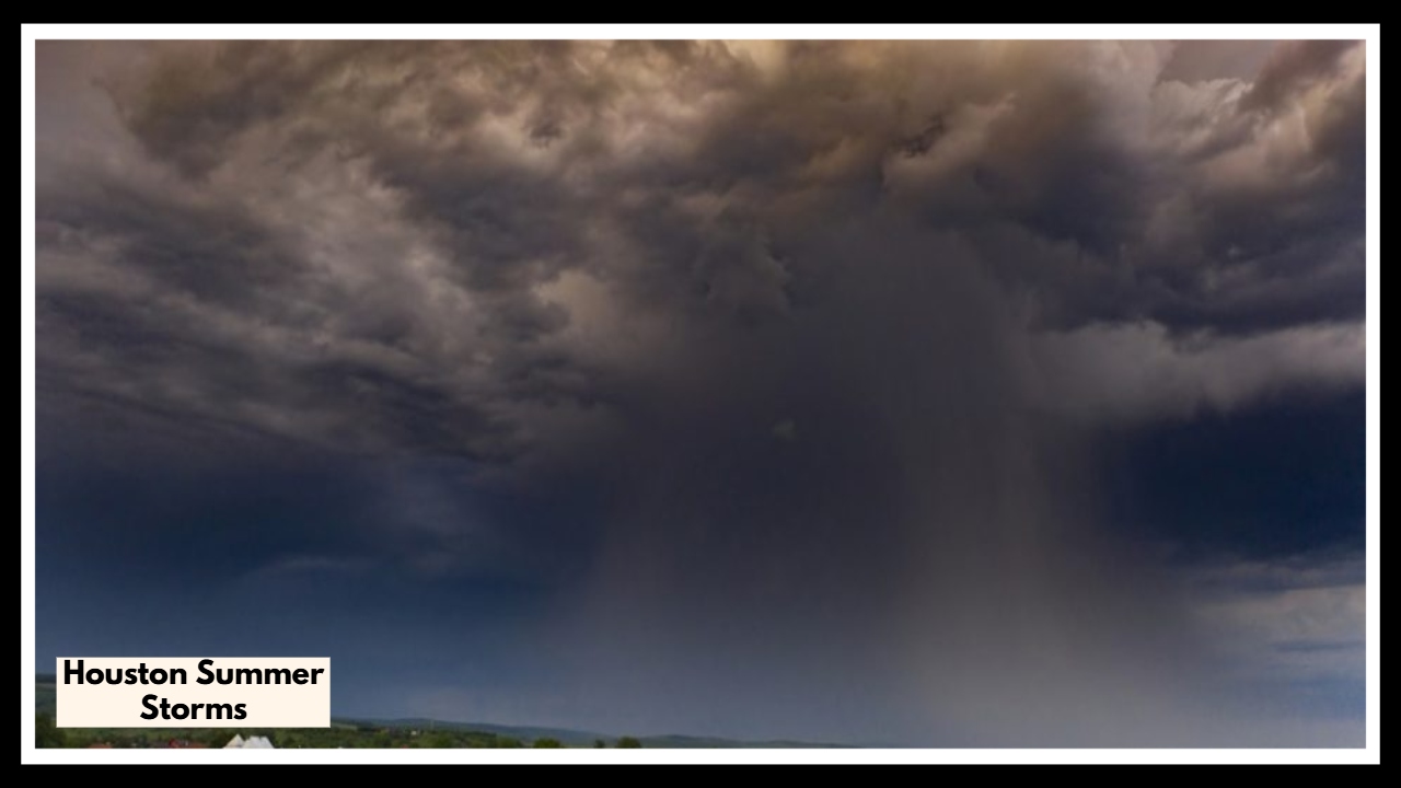
Houston Summer Storms Are Coming: What You Need to Know Before Thursday
If you’re in Houston or anywhere around Southeast Texas, you’ll want to keep an eye on the sky this Thursday and Friday. Houston summer storms are on their way, bringing the chance for some pretty heavy rain—up to a couple of inches in spots—plus strong winds and maybe even a little hail. It’s not looking like a huge storm event, but these storms could still cause some annoyances like flooding in low areas, flickering power, and slower commutes. Just knowing what’s coming can help you avoid getting caught off guard.
What These Houston Summer Storms Could Mean for Your Week
This kind of weather is pretty normal for this time of year—warm, humid days that kick off scattered thunderstorms in the afternoon and evening. Temperatures will stay in the upper 80s to around 90 degrees, which pretty much sets the stage for those quick, sometimes heavy bursts of rain.
If you’re north of Houston, around places like Huntsville or College Station, you might see the heaviest rain—maybe two inches or more—which could lead to some flooding on the streets. But even if you’re closer to the city or along the coast, keep an eye out for gusty winds and sudden downpours that can make driving a bit tricky or cause some minor damage around your home.
How to Stay Safe During These Houston Summer Storms
-
Keep checking local weather updates throughout the day so you know when the storms are approaching.
-
Don’t try to drive through flooded roads—if you see water, turn around and find another way.
-
Bring in or secure anything outside that could get knocked around by the wind.
-
Have flashlights and emergency supplies ready just in case the power goes out for a bit.
-
Try to get your outdoor plans done in the morning or early afternoon before the storms roll in.
A Quick Heads-Up
These Houston summer storms probably won’t make big headlines, but they still deserve your attention. Heavy rain and gusty winds can cause their share of problems—like flooded streets, fallen branches, or a sudden blackout. Staying informed and being a little prepared will help you get through the storms without too much hassle.
FAQ About Houston Summer Storms
1. When should I start paying attention to these storms?
You’ll want to keep an eye on things starting Thursday afternoon through Friday evening. That’s when the rain and wind will be doing their thing.
2. How much rain are we actually talking about?
Some spots, especially north of Houston like Huntsville and College Station, could get around two inches or more. Other places might see less, but definitely expect some heavy showers here and there.
3. Should I worry about flooding?
There’s a chance of some flooding, especially in areas that don’t drain well or are low-lying. Bottom line: if you see water on the road, don’t try to drive through it. Better safe than sorry!
4. What’s the best way to get ready?
Keep checking your local weather updates, bring in anything outside that could get blown away, and have a flashlight handy just in case the power flickers. Also, try to get your outdoor stuff done before the storms roll in.
5. Are these storms going to be super dangerous?
Probably not. They’re not expected to cause big damage or anything like that, but they could still slow you down with rain and wind, and maybe knock down a branch or two.