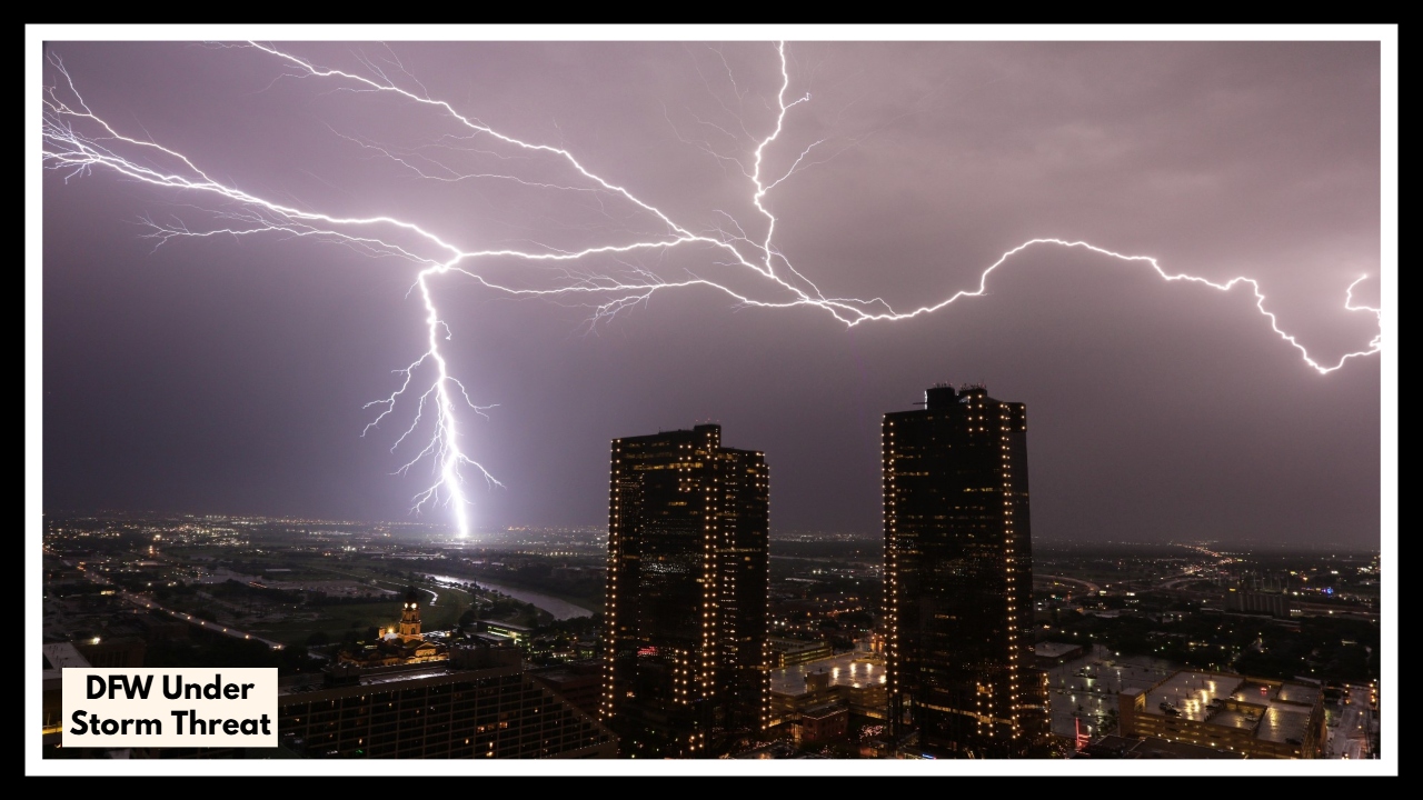
DFW Under Storm Threat: Why Tonight Could Be the Wildest Weather We’ve Seen All Month
If you’re in the Dallas-Fort Worth area tonight, now’s the time to keep an eye on the sky. Things may seem calm right now, but the weather is about to shift—and fast. A strong cold front is moving into North Texas, and that’s stirring up trouble. We’re talking about gusty winds, large hail, and frequent lightning that could hit overnight. This DFW under storm threat isn’t just about getting wet—it’s about staying safe.
Why This Storm Is a Big Deal
So what’s going on up there? Basically, cool air from the north is running into warm, sticky air sitting over us—and that’s never a good mix. This clash is setting off a line of storms that could ramp up quickly tonight and carry through until early Friday.
Forecasts are calling for wind gusts over 60 mph—strong enough to knock out power or bring down tree limbs. There’s also a good chance of hail, possibly the size of quarters or even bigger. Lightning could be frequent and dangerous. While tornadoes aren’t the main concern, these storms could still intensify suddenly, especially in spots west of I-35 and south of I-20. If you live in those areas, it’s smart to stay extra alert.
What You Can Do Right Now
You don’t need to panic—but being ready makes all the difference. Here’s how you can stay one step ahead:
-
Get Your Alerts Set Up: Make sure your phone is charged and that emergency alerts are turned on. Check a reliable weather app or follow local news stations for updates.
-
Secure Your Stuff: Bring in anything outside that could blow away—patio furniture, planters, even trash bins. High winds can turn those into projectiles.
-
Stay Off the Roads If You Can: Driving during a storm like this is risky—slick roads, poor visibility, and unexpected debris can make things dangerous fast.
-
Have a Safe Spot in Mind: If things get serious, know where to go in your home. An interior room with no windows—like a hallway, bathroom, or closet—is your best bet.
-
Check in With Others: Got neighbors who might need a hand? Elderly relatives nearby? A quick call could make all the difference tonight.
The Good News? Tomorrow Looks Better
Once the cold front passes, Friday actually looks… kind of nice. Cooler air, lower humidity, and clearer skies are on the way. But to get there, we’ve got to get through tonight first. So take the warnings seriously, get things ready, and keep yourself—and the people around you—safe.
FAQ About DFW Under Storm Threat
1. How bad is this storm expected to get?
The forecast is calling for some serious weather—especially overnight. We’re looking at the potential for wind gusts over 60 mph, large hail (possibly quarter-sized or bigger), frequent lightning, and localized power outages. While tornadoes aren’t the main threat, the storms could intensify quickly, so it’s worth taking seriously.
2. What areas in DFW should be most alert?
If you’re west of I-35 or south of I-20, pay extra attention tonight. That’s where conditions are most favorable for strong storms. But really, anyone in the Dallas-Fort Worth metro area should stay updated, since these systems can shift quickly.
3. When will the worst of the weather hit?
Most of the severe weather is expected to move in during the evening and last into early Friday morning—roughly between 8 p.m. and 3 a.m. Storms could develop suddenly, so it’s a good idea to be ready before heading to bed.
4. What can I do to prepare tonight?
Charge your phone, secure anything outside (like patio furniture or garbage bins), and know where your safe spot is inside your home.