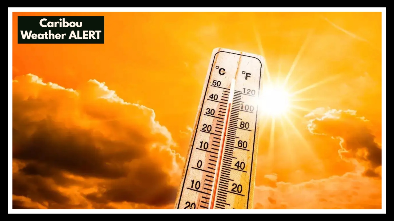
Caribou Weather ALERT: Shocking Heat Spike Sparks Warnings—But What’s Really Coming?
Caribou, Maine is heating up—but maybe not quite as much as some headlines would have you believe. A recent claim that the town would hit 84°F on June 3 has been circulating under the alarmist banner of “Caribou Weather ALERT.” But when we turn to the facts, the National Weather Service has a more moderate story to tell: a warm, sunny day is on the way, but with highs closer to 73°F—not the summer scorcher some are expecting.
While 73°F may not sound extreme to someone in the lower 48, in Caribou, that’s actually a few degrees above the norm for early June. The average high this time of year hovers around 68°F, so it’s fair to say that this early summer warmth is arriving a bit ahead of schedule. Still, it falls well short of record-breaking territory, and there’s no immediate cause for alarm—at least not yet.
Caribou Weather ALERT: Showers and Storms Could Roll In Later This Week
The second half of the week could tell a different story. As we head toward Thursday, June 5, meteorologists are watching a cold front that may bring showers and isolated thunderstorms to the region. While the details are still coming into focus, there’s a real possibility that some of this weather could disrupt outdoor plans, especially if storm systems intensify. Again, there are no official weather alerts in effect for Caribou at this time—but the Caribou Weather ALERT chatter may not be entirely misplaced for later this week.
Why All This Matters
For a place like Caribou—known for its long winters and slow-to-arrive summers—any shift in temperature gets noticed. And when early heat arrives, it can have a ripple effect on everything from crop timing to energy usage and even mosquito populations. The bigger picture: while this week won’t break records, it does suggest that summer is showing up earlier and stronger than usual.
So is it hot in Caribou? Warmer than usual, yes. Headline-worthy? Maybe. But 84°F and a weather alert today? Not quite. As always, your best source of truth is the official forecast—not a viral post.
FAQ About Caribou Weather ALERT
1. Wait, did Caribou really hit 84°F?
Not quite. Some headlines may have made it sound like Caribou was baking in record heat, but the actual forecast puts us at around 73°F. That’s definitely warm for early June—but not the 84°F heatwave people are buzzing about. It’s a warm-up, yes, but let’s not overhype it.
2. Is this kind of heat normal for this time of year in Caribou?
Not exactly normal, but not crazy either. Early June usually hangs around the upper 60s, so hitting the low 70s is a little warmer than average. It’s the kind of shift that makes you break out the shorts a week or two early—not panic about a heatwave.
3. Should I be worried about storms later this week?
Not worried, but maybe a little prepared. Thursday’s forecast is showing some showers and possible thunderstorms, thanks to a cold front moving in. Nothing severe for now, but it’s a good idea to keep an eye on the weather, especially if you’ve got outdoor plans.
4. Why are people making such a big deal about this weather?
That’s the internet for you. A small weather bump turns into a “surge” and suddenly it’s a “Caribou Weather ALERT.” It’s easy to get swept up in dramatic headlines, but the real story is simple: we’re getting an early taste of summer, not a historic event. When in doubt, always check the official forecast.