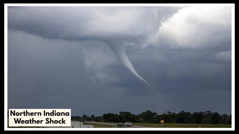
Northern Indiana Storm Threat: The Hour-by-Hour Breakdown You Need Right Now
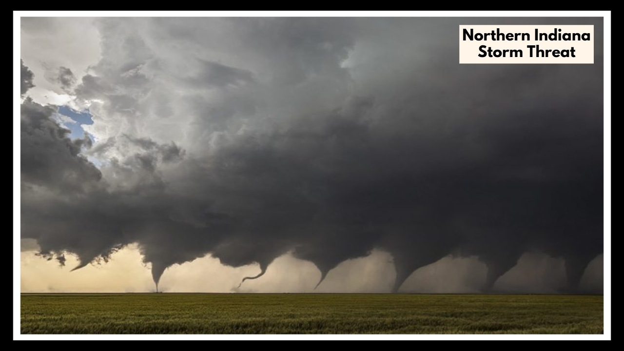
If you’re in northern Indiana today — anywhere from South Bend to Fort Wayne, Lafayette, or even parts of Indy — it’s a good idea to keep an eye on the sky. A Northern Indiana Storm Threat is shaping up, and this one has the potential to bring more than just a quick rain shower. We’re talking about strong winds, heavy downpours, and even some hail.
These storms are expected to roll in during the afternoon and hang around through the evening, so if you’ve got errands, sports practice, or outdoor plans, you might want to adjust your schedule.
This Isn’t Just Another Thunderstorm
Sure, we get storms — it’s Indiana in the summer. But this one’s got some extra kick. Winds could gust up to 60 mph, which is strong enough to knock down tree limbs and take out power lines. Hail could be in the mix too — big enough to ding up cars or damage gardens and roofs.
There’s also a chance of flash flooding, especially in spots where the ground doesn’t drain well or near creeks and low-lying areas. If you’re driving later — especially on roads like I-69, I-80, or U.S. 30 — be ready for downpours that can hit fast and make it tough to see.
Here’s How You Can Get Ready
You don’t have to panic, but a little preparation now can save you a headache later. Here are a few quick things you can do:
-
Bring in or tie down anything that could blow around — think trash cans, patio furniture, umbrellas, even those lightweight flower pots.
-
Charge your phone and any backup batteries in case the power goes out.
-
Try to wrap up errands early so you’re not caught out when the worst of the weather moves in.
-
Stay indoors when storms hit — it’s not worth the risk.
-
Keep an eye on alerts from the National Weather Service or your favorite local station. Things can change fast.
And if you live somewhere that’s had flooding problems before? Just make sure you have a quick plan in case you need to get to higher ground.
The Good News: It Won’t Last Long
The bright side? These storms should move out overnight, and by Thursday morning we’re looking at calmer, cooler conditions. But between now and then, take this system seriously. It might not hit every town the same way, but even one strong cell can cause power outages or damage.
Stay safe, check in with neighbors if they need help, and keep those weather apps close by.
FAQ About Northern Indiana Storm Threat
1. When should I expect the worst of the storms?
Plan for things to get stormy by mid-to-late afternoon, and the rough weather could stick around through the evening. That means from about 2 p.m. to 10 p.m., you’ll want to keep an eye on the sky — especially if you have evening plans or a long commute.
2. Which areas are going to be hit the hardest?
The whole region is on alert, but South Bend, Fort Wayne, Lafayette, and nearby communities are right in the path. If you’re near I-69, I-80, or U.S. 30, you’ll want to be extra careful — conditions could change fast out there.
3. What kind of damage are we talking about here?
This isn’t just a summer shower. We’re looking at wind gusts up to 60 mph, hail possibly the size of quarters, and a good amount of rain in a short time. That combo can lead to power outages, fallen tree limbs, and even flash flooding, especially in low-lying spots.
4. What can I do to get ready before the storms hit?
A few quick things can really help:
-
Tie down or bring in anything outside that could blow away.
-
Charge up your phone and flashlights in case the power goes out.
-
Try to finish errands early, and stay inside once the weather picks up.
-
Don’t drive through flooded roads — even if it doesn’t look that deep.
5. Is there any good news after the storm?
Yes! The rough weather should move out overnight, and by Thursday morning, things should calm down with cooler and more comfortable air. But for now, stay alert — even one strong storm can do a lot of damage in a short amount of time.