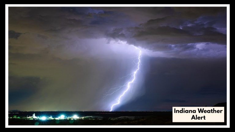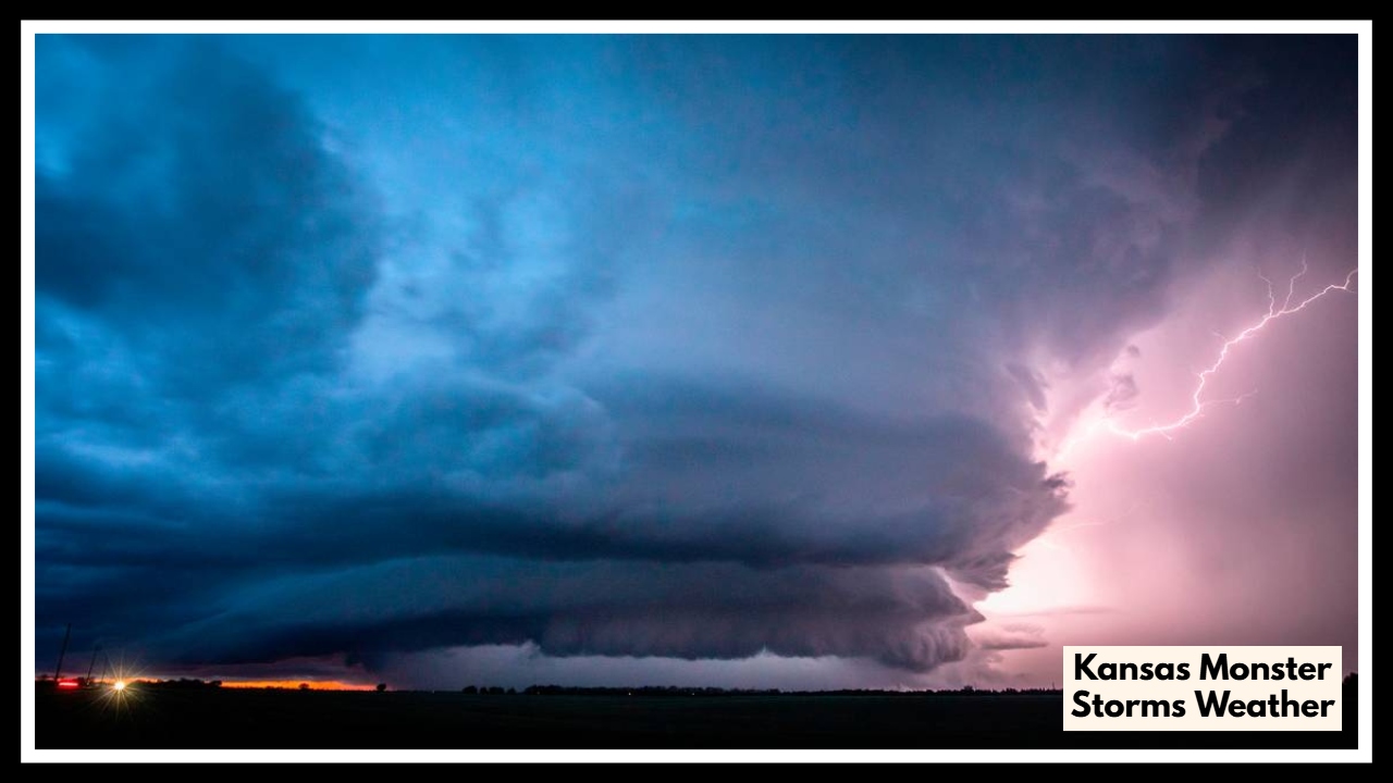
Kansas on Edge: Monster Storms With 65 MPH Winds & Hail Threaten Wichita and Dodge City
A new Kansas Severe Weather Alert has been issued—and this one’s worth your attention. On Thursday night, Wichita, Dodge City, and surrounding areas could be in the direct path of strong thunderstorms capable of producing wind gusts up to 65 miles per hour, along with the potential for hail and heavy rain. The National Weather Service is urging residents to be prepared as conditions develop late in the day.
What You Need to Know
Thursday will begin on a quieter note, with Wichita expecting some sunshine and mild cloud cover through the afternoon. But don’t be fooled by the calm—things are expected to turn quickly after sunset. The evening hours could bring intense thunderstorms packing strong, damaging winds and hail that may impact travel and outdoor plans. Dodge City faces similar risks, with showers and a few storms likely in the afternoon and evening hours, especially as atmospheric instability increases.
This Kansas Severe Weather Alert isn’t just another passing weather update. These storms could cause real damage—think downed trees, power outages, dented cars, and unsafe roads. For areas already waterlogged from earlier rainfall, flash flooding remains a concern as well.
Why It Matters
Storms with wind gusts reaching 65 mph aren’t just breezy—they can tear off roof shingles, break branches, and toss around loose outdoor items like lawn furniture or trash bins. Hail, especially when combined with wind, can damage vehicles, windows, and even injure people caught outside. Add in heavy rain and already-saturated ground, and you’ve got a recipe for fast-forming flooding in low-lying spots.
That’s why emergency officials are asking people to stay alert, review their safety plans, and keep weather alerts turned on. It’s better to be over-prepared than underprepared when dealing with this kind of system.
What You Can Do Now
-
Bring in anything that might blow away.
-
Avoid driving during the height of the storm if possible.
-
Keep phones charged in case of power outages.
-
Monitor updates from the National Weather Service or local news outlets.
It’s not about panicking—it’s about staying informed and ready. This Kansas Severe Weather Alert could mean real trouble, but with a little preparation, you can stay safe and protect what matters most.
FAQ About Kansas Monster Storms Weather
1. What’s this weather alert actually about?
Think of this as your heads-up: Kansas could be in for a rough Thursday night. We’re talking about storms that could bring really strong winds—up to 65 mph—and hail. It’s not your average summer rain. The areas to watch especially are Wichita and Dodge City, but others nearby could feel the impact too.
2. When should I be on alert—day or night?
Most of the day should be okay, but Thursday evening into the night is when things could turn dangerous. After sunset, the risk for severe storms ramps up fast. So, if you’ve got plans outdoors or need to travel, try to wrap things up before dark.
3. Should I worry about flooding too?
Yes—especially if you’re in a spot that’s already had a lot of rain recently, like Wichita. The ground’s soaked, so even a quick burst of rain can turn streets into rivers pretty quickly. If you see water on the road, don’t drive through it. It’s not worth the risk.
4. What can I do now to stay safe and ready?
Start with the simple stuff:
-
Bring in anything outside that could blow away.
-
Keep your phone charged in case the power goes out.
-
Turn on weather alerts so you get notified fast if things escalate.
-
And if you’re out when a storm rolls in? Get to shelter—fast. Don’t wait it out in your car or under a tree.