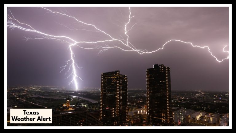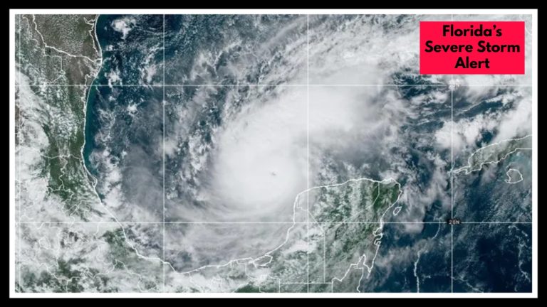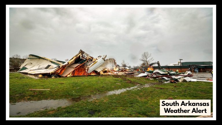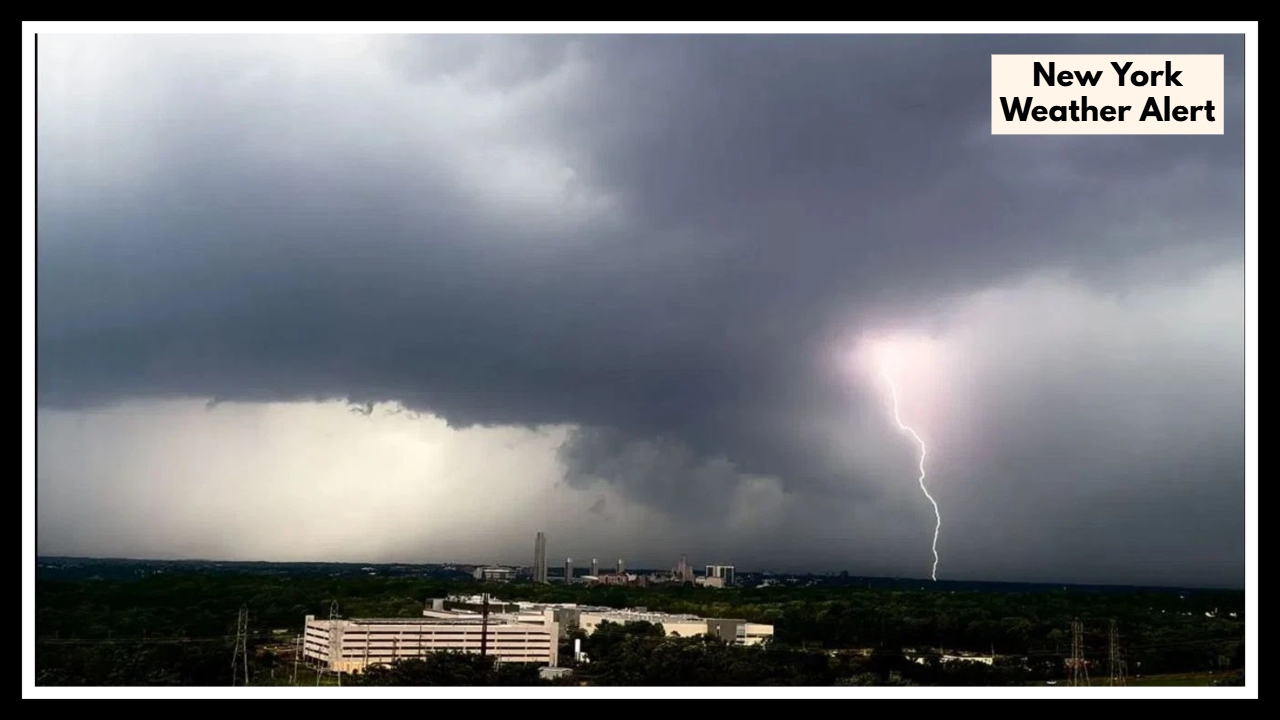
New York Weather Alert: Dangerous Thunderstorms Set to Slam Buffalo Friday—What You Need to Know
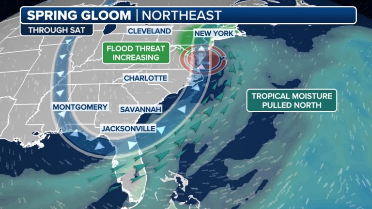
We’re closing out the week with a bit of weather whiplash. Forecasters are sounding the alarm for a strong wave of thunderstorms rolling into the region Friday afternoon. This New York Weather Alert isn’t just your average rainstorm—conditions could get intense, with heavy downpours, gusty winds, and even the chance of flash flooding in some neighborhoods. Local officials are urging everyone to be ready for a messy and potentially dangerous end to the day.
What’s behind all this? It’s a classic setup: warm, sticky air moving up from the south is running into cooler, drier air from the Great Lakes. That clash is expected to fire off scattered storms by mid-afternoon, which could strengthen into the evening. And these won’t be gentle showers—forecasters say some areas could see a lot of rain in a short amount of time, especially where drainage is poor. Parts of Buffalo, particularly in the city’s flood-prone zones, could see quick water buildup. Add in a risk for strong winds and even some hail, and this is a weather day you’ll want to pay close attention to.
This New York Weather Alert is a reminder to stay flexible with your Friday plans. If you’ve got errands, appointments, or outdoor events lined up, check the radar before you head out. Officials also advise staying off waterlogged streets and avoiding low-lying areas if the rain starts coming down hard. Conditions could shift quickly, so it’s smart to keep your phone close and alerts turned on.
But here’s the silver lining: the worst of the storm should move through by late Friday night. And then? A total turnaround. By Saturday morning, clouds will clear, the sun will break through, and temperatures will rise into the low 70s. It’ll feel more like early summer again—perfect weather for a walk, a backyard hangout, or catching up on plans that got washed out the day before.
So, while Friday may bring a wild ride, hang tight—sunshine is waiting just on the other side. Stay safe, stay updated, and don’t be caught off guard.
FAQ About New York Weather Alert
1. What’s going on with the weather in Buffalo this Friday?
Buffalo’s in for a bit of a stormy shake-up. Thunderstorms are expected to roll in Friday afternoon and could stick around into the evening. These aren’t just light showers—we’re talking heavy rain, strong winds, and a decent chance for some quick, localized flooding in spots that don’t drain well.
2. Why are people making such a big deal out of this New York Weather Alert?
Because this one could actually cause some real problems. The storm is moving fast and could dump a lot of rain in a short time—especially in city areas. That can lead to street flooding, traffic messes, and delays. It’s not about panic—it’s just smart to be ready.
3. When should I expect the worst of it—and how long will it last?
Things are expected to get rough in the afternoon, with the worst likely during the evening commute. The good news? It won’t last long. Most of the rain should move out overnight, and Saturday is looking way more pleasant.
4. Should I still go out Friday evening, or play it safe?
Honestly, if you can shift plans or stay in, that might be the move—especially if you were planning to be out and about. If you do have to head out, keep an eye on the radar and avoid any flooded streets. This is one of those “better safe than sorry” situations.
5. Is the weekend going to be a total washout too?
Not at all—quite the opposite, actually. Once the storm clears out, Saturday’s looking pretty great. Expect sunshine, calmer skies, and highs in the low 70s. So even if Friday’s a wash, the weekend still has plenty of potential.