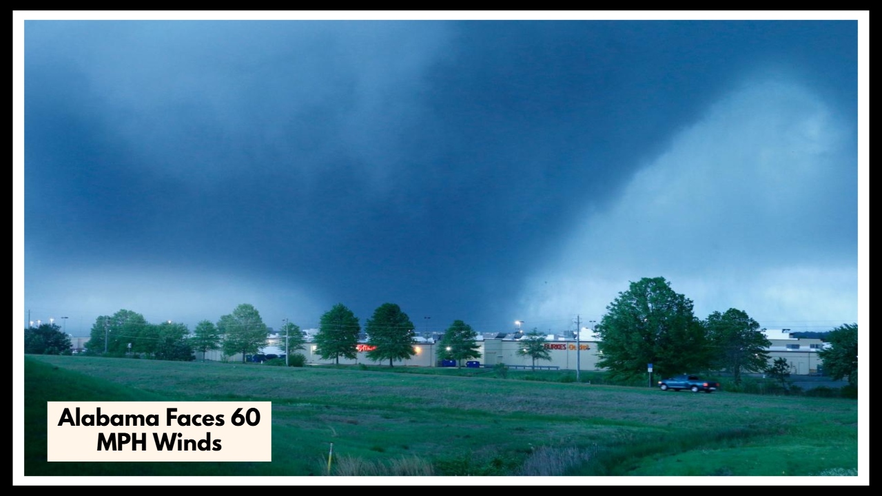
Alabama Faces 60 MPH Winds Tonight — Are You Ready for What’s Coming?
Alabamians, especially those across Central Alabama, should brace for an active weather day as an Alabama Severe Storm Alert is in effect through early Saturday morning. From 2 PM to 1 AM, strong to severe thunderstorms are expected to sweep through the state, bringing damaging wind gusts up to 60 mph, heavy rain, and the potential for hail. It’s the kind of weather that can turn quickly—so staying weather-aware today isn’t just smart, it’s necessary.
What the Alabama Severe Storm Alert Means for You
The National Weather Service has placed much of the region under a Level 2 (Slight) to Level 3 (Enhanced) risk for severe weather. That means these storms aren’t just a passing shower—they could pack a real punch. Expect strong wind gusts that can bring down tree limbs or power lines, and scattered storms that may dump heavy rainfall in a short period of time. There’s even a low but notable risk of a brief tornado or two.
Right now, the Alabama Severe Storm Alert covers cities including Birmingham, Montgomery, Tuscaloosa, and surrounding communities. It’s likely these storms will form in the afternoon, grow stronger into the evening, and finally taper off overnight. Rainfall could be intense at times, especially along highways and low-lying areas prone to flooding.
How to Stay Safe and Prepared
-
Stay indoors when storms approach: Avoid travel during the height of the storm unless absolutely necessary.
-
Secure loose outdoor items: Patio furniture, garden tools, or even trash bins can be turned into dangerous projectiles in 60 mph winds.
-
Keep your phone charged: With a real chance of power outages, you’ll want to stay connected to alerts and updates.
-
Monitor official alerts: Use a NOAA Weather Radio or a trusted weather app to track warnings in real time.
The Calm After the Storm
Once the line of storms passes overnight, conditions are expected to calm down by Saturday. Sunshine and slightly cooler temperatures are likely to return, offering a more pleasant and peaceful weekend. But until then, all eyes should be on the sky.
FAQ About Alabama Weather
1. Which parts of Alabama need to be most on alert?
Mainly Central Alabama — places like Birmingham, Montgomery, and Tuscaloosa could really feel the brunt of this system. But storms don’t always stay in one place, so if you’re nearby, it’s smart to stay tuned in too.
2. What kind of weather are we talking about here?
Expect some rough stuff — strong winds that could reach 60 mph, heavy rain, lightning, and possibly some hail. A tornado or two isn’t out of the question either, especially later in the day.
3. How can I keep myself and my family safe during this storm?
Try to stay indoors, keep your phone charged, and make sure outdoor furniture or anything loose is secured. Keep an eye on your local weather alerts — they’ll let you know if anything serious is headed your way.
4. Will things calm down after tonight?
Yes, thankfully! The worst should be over by early Saturday morning. After that, we’re looking at a calmer weekend — a nice break after a stormy night.
5. What should I do if the power goes out?
Report it to your utility company right away. Keep fridge and freezer doors closed, and use flashlights instead of candles if you can. If you’ve got a generator, only run it outside to stay safe.