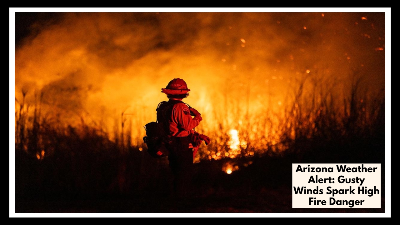
Arizona Weather Alert: Gusty Winds Spark High Fire Danger—What You Need to Know Now!
If you’re in or around Flagstaff today, here’s an important Arizona Weather Alert you’ll want to keep in mind. Strong, gusty winds combined with very dry conditions are creating a serious fire risk across the area, especially along the I-17 corridor. These conditions are expected to last through Tuesday evening, so it’s a good idea to stay aware and take precautions.
The Arizona Weather Alert highlights northwest winds blowing between 15 and 25 mph, with gusts up to 45 mph, along with dangerously low humidity levels dipping down to 10-15%. This combo makes the landscape much more vulnerable to fires starting and spreading quickly, especially in forested and brush-heavy areas. If you’re planning to be outside or driving through, please avoid anything that could spark a fire and report any smoke you might see right away.
Officials expect these fire-prone conditions to continue through Tuesday evening, with calmer winds and slightly warmer temperatures arriving by Wednesday. Keeping an eye on local updates and following fire safety guidelines will help everyone stay safe while the danger lasts.
FAQ About Arizona Weather
Q1. Who’s really feeling the heat with this Arizona Weather Alert?
If you’re around Flagstaff or driving along I-17, this heads-up is for you. The winds and dry air there are making fire risks pretty serious right now.
Q2. Just how windy is it going to get?
It’s not just a little breeze—think steady winds between 15 and 25 mph, with some gusts possibly hitting 45 mph. Those gusts can spread fires fast, so it’s something to keep in mind.
Q3. When will things calm down?
This risky weather will stick around through Tuesday evening. But after that, winds should settle down and temperatures will warm up a bit by Wednesday.