Central Illinois Rain Update: Why Tuesday’s Calm Could Be the Eye of the Storm
After days of gloomy skies and steady downpours, today brings a breath of fresh air—literally—for folks living along the I-74 corridor. The latest Central Illinois Rain Update points to a mostly dry Tuesday across Peoria, Bloomington, and Champaign, giving residents a much-needed break. It’s a chance to catch up on outdoor chores, enjoy a quick walk, or simply soak up a bit of calm before things take another stormy turn.
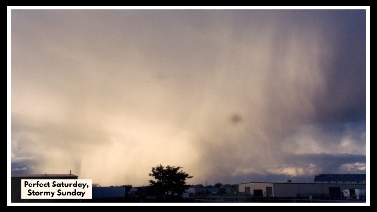
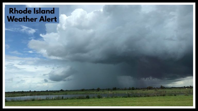
But this pause in the weather is just that—a pause. Forecasters say it’s the calm before another midweek round of storms that could bring heavy rainfall, thunderstorms, and possible flooding to parts of Central Illinois.
What Today Looks Like (and Why It Matters)
While it may not be blue skies and sunshine all day, the weather is certainly cooperating more than it has lately. North of I-74, skies are relatively dry and temperatures mild, while areas farther south are still dealing with some lingering showers early in the day.
In Peoria, temperatures are expected to hover around 70°F with a mix of clouds and breaks of sun later in the afternoon. Bloomington will see much of the same, with a high near 71°F and the possibility of a morning shower or thunderstorm giving way to drier skies later on. Champaign is a bit more active, with a stronger chance of heavier storms this morning, but by late afternoon, things should settle down there too.
So yes—Tuesday might just be your best bet this week for getting out and about without an umbrella.
Central Illinois Rain Update: More Storms Brewing Midweek
Unfortunately, this fair-weather window won’t last long. According to the Central Illinois Rain Update from the National Weather Service, another system is lining up to bring widespread rain and thunderstorms back into the region starting Wednesday afternoon and stretching into Thursday.
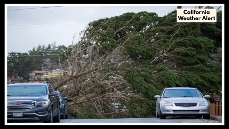
Rain totals could exceed an inch in many areas, with much of that falling in just a few short hours. That sets the stage for flash flooding in places where the ground is already saturated or drainage is poor. And while we’re not talking severe weather just yet, some storms could pack a punch with gusty winds and brief heavy downpours.
By Friday, things begin to calm down again—and the weekend? So far, it’s looking promising, with warmer temps and sunshine in the mix.
How to Stay One Step Ahead
If you’re a Central Illinois resident, here’s how to make the most of today and stay safe later this week:
-
Use Tuesday to prep. Clear gutters, secure outdoor items, and get any errands done before the next round of storms.
-
Keep your phone charged and alerts turned on. Things can change quickly, especially in spring.
-
Watch for ponding or flooding. If you’re driving during a storm later this week, avoid flooded roadways.
-
Don’t be caught off guard. Spring storms often move in faster and hit harder than expected.
Looking Ahead
The back-and-forth nature of spring weather in Illinois is nothing new, but this week is a good reminder to always be weather-aware. The Central Illinois Rain Update shows how quickly things can shift—from sunshine to severe storms in just a day or two. So enjoy the dry spell while it lasts, and keep an eye on the skies for what’s next.
FAQ About Central Illinois Rain Update
1. Why is the weather so much nicer today?
You’re not imagining it—today really is a break from all the rain. We’re between storm systems right now, which means areas along I-74 like Peoria, Bloomington, and Champaign are getting a bit of breathing room. It’s not exactly sunny and 75, but compared to the last few days, we’ll take it.
2. When should I expect the storms to come back?
Enjoy the calm while it lasts, because the next round of rain and thunderstorms is expected to show up by Wednesday afternoon. Things could stay pretty wet and stormy through Thursday, so plan accordingly if you’ve got errands or outdoor plans midweek.
3. Are we talking light rain or the really heavy kind?
This isn’t just a passing shower. Forecasters say we could see more than an inch of rain across the region, and some areas might get that much in just one downpour. Flash flooding is definitely something to keep an eye on, especially in low-lying spots.
4. Should I be worried about severe weather?
It’s not a full-blown severe weather outbreak (at least not right now), but some of the storms could get intense, with strong winds, heavy rain, and possibly small hail. Definitely keep an eye on alerts from the National Weather Service just in case things escalate.
5. What can I do to get ready?
Use today to prep! Make sure your phone is charged, check your weather app settings for alerts, and secure anything outside that could blow around. If you’re in a flood-prone area, move your car to higher ground and double-check that your sump pump is working.