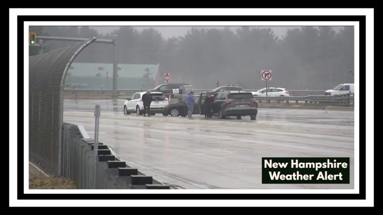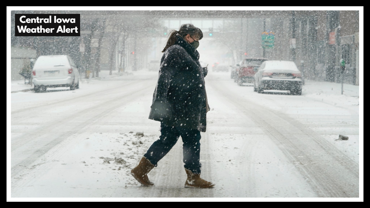
Central Iowa Weather Alert: Why You Shouldn’t Drive in Des Moines Tonight
It’s shaping up to be a stormy night across Central Iowa. A Central Iowa Weather Alert has been issued as Des Moines and surrounding communities brace for heavy rain that could quickly lead to flash flooding. Roads you travel every day could become impassable in just minutes if tonight’s storms drop as much rain as forecasters expect.
This isn’t just about getting wet—it’s about staying safe. With soaked ground from recent rains, there’s little room for tonight’s water to go. And when drains can’t keep up, water finds its own path—through streets, into basements, and across yards.
Storms Tonight Aren’t Just Routine Rain
While we’re no strangers to summer storms in Iowa, this evening’s setup feels different. The Central Iowa Weather Alert is more than a headline—it’s a warning rooted in concern. Thunderstorms are expected to stall over the region, dropping 1 to 3 inches of rain in a short period. That’s enough to overwhelm storm drains and low-lying areas quickly.
And flooding isn’t the only concern. The storms are also packing strong winds and hail, turning what might seem like just another wet night into one where it’s smarter to stay indoors and stay alert.
It Only Takes One Drive to Change Everything
Flash flooding is one of those dangers that can catch people off guard. You think you can drive through it… until you can’t. Tonight is a good night to check on loved ones, bring pets inside, and put off any non-essential travel. Small precautions can make all the difference when things escalate quickly.
We’ve seen how fast water can rise in Iowa. And after the rain moves out, the cleanup begins. That’s why awareness before the storm matters so much.
FAQ About Central Iowa Weather Alert
1. What exactly is this Central Iowa Weather Alert warning us about?
This alert is a heads-up that Des Moines and surrounding areas could experience flash flooding tonight due to heavy rain. The concern is that storms may dump 1 to 3 inches of rain in a short amount of time, which can easily overwhelm storm drains and flood low-lying roads or basements.
2. When should we expect the worst of the storm to hit?
Storms are expected to move in late this afternoon through the overnight hours. The heaviest rainfall and strongest storm activity could happen any time between 6 p.m. and 2 a.m., but conditions may change quickly—so it’s smart to stay weather-aware throughout the evening.
3. Will this just be heavy rain, or is there a chance of severe weather too?
Unfortunately, this isn’t just a rain event. Along with flash flooding, strong winds and hail are possible, especially in more intense cells. That’s why the Severe Thunderstorm Watch has been issued for Central Iowa. Power outages or damage from falling branches could also occur in some areas.
4. How dangerous is flash flooding—should I really stay off the roads?
Yes. Flash flooding can be extremely dangerous, especially at night when it’s harder to see water covering the road. Just a few inches of moving water can stall or even sweep away a vehicle. If you see water over the road, it’s always safest to turn around—don’t try to cross it.
5. What can I do right now to be ready?
There are a few simple steps you can take to stay safe:
-
Charge your phone and keep weather alerts turned on.
-
Avoid travel after dark if storms begin to move in.
-
Clear gutters and drains around your home if you have time.
-
Move your car to higher ground if you’ve had flooding issues in the past.
-
And most importantly, check in on anyone who might not have seen the alert, like older neighbors or those without smartphones.