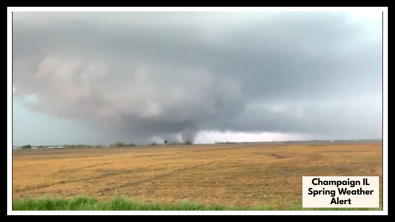
Champaign IL Spring Weather Alert: Wind, Hail, and Flooding Threaten Afternoon Plans
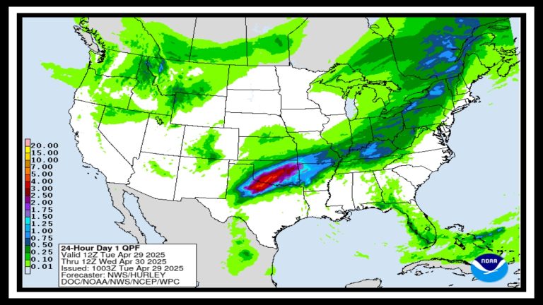
Heads up, Champaign. A developing storm system has prompted a Champaign IL Spring Weather Alert for Friday afternoon into the evening, and it’s not your average spring rain. Forecasters are warning that severe thunderstorms could bring damaging wind gusts, large hail, torrential rain, and even a chance for an isolated tornado. If you’ve got plans after lunch, it might be time to rethink them.
Whether you’re commuting, running errands, or heading into the weekend early, the timing of this system could make travel tricky and even dangerous.
What’s Fueling the Storm Threat?
Friday’s storm setup looks like a classic spring clash—warm, humid air over Illinois will meet a strong cold front dropping in from the northwest. When that happens, the atmosphere becomes unstable fast, and that’s when thunderstorms can go from inconvenient to dangerous.
As part of the Champaign IL Spring Weather Alert, meteorologists say the highest risk will fall between 1 PM and 7 PM, when storm activity is expected to ramp up significantly. That puts peak intensity right in the middle of afternoon commutes and weekend prep.
What’s the Risk?
Here’s a closer look at what Champaign and the surrounding area could face Friday:
-
High Wind Gusts: Up to 60 mph—strong enough to break branches, bring down power lines, and cause driving hazards.
-
Large Hail: Could cause damage to vehicles, roofs, and crops.
-
Torrential Rain: Quick downpours could overwhelm drains and lead to minor street flooding.
-
Isolated Tornado: There’s a low—but real—chance for a brief spin-up, especially in stronger cells.
What You Can Do Now
Now is the time to take a few simple steps that could save you a lot of hassle—or worse—later. Secure loose outdoor items, make sure your phone is charged in case of power outages, and consider adjusting afternoon plans if they involve travel.
If you’re on the road when storms hit, slow down, turn on your lights, and never try to drive through flooded roads. And remember: if you hear a thunderstorm warning or see dark skies moving in, it’s always smarter to head inside than risk it.
Weekend Outlook
The silver lining? The worst of the weather should move through by late Friday night. Saturday is expected to be cooler and calmer, with sunshine and highs in the mid-70s—perfect for catching up on anything Friday interrupts.
Stay Ahead of the Storm
Don’t wait until the wind starts howling. Keep an eye on local forecasts and check alerts from the National Weather Service or a trusted weather app. The Champaign IL Spring Weather Alert is your heads-up to stay safe, plan ahead, and be weather-aware.
FAQ About Champaign IL Spring Weather
1. What exactly is the Champaign IL Spring Weather Alert warning us about?
It’s a heads-up from the National Weather Service saying strong storms are likely Friday afternoon into the evening. We’re talking about high winds, big hail, heavy downpours, and possibly even a tornado or two. It’s not meant to scare you—but to give you a chance to prepare and stay safe.
2. When should I really start paying attention to the weather?
Keep your eye on the skies starting around 1 PM on Friday, because that’s when storms could start building. The most active—and possibly dangerous—time looks to be between 1 PM and 7 PM, right during the afternoon commute. If you can wrap up outdoor errands early, that’s your safest bet.
3. Are the storms going to be serious or just your typical spring rain?
These storms could definitely pack a punch. Winds may gust up to 60 mph, which can knock out power or bring down branches. There’s also a good chance for hail that could damage cars or windows. So no, this isn’t just a light rain—these are the kinds of storms you don’t want to get caught in.
4. What should I do if the weather turns bad while I’m out?
If you’re already out and a warning is issued, try to get indoors as quickly and safely as you can—especially if you’re driving. Avoid flooded roads, don’t try to wait it out under a tree, and stay away from windows once you’re inside. A few minutes of caution can make a big difference.
5. Will it be nicer once the storms are gone?
Thankfully, yes! Friday night should clear up, and by Saturday, we’re looking at sunny skies and cooler temps in the 70s. So if Friday feels like a mess, at least the weekend is shaping up to be much more pleasant.