Dangerous Thunderstorms and Scorching Heat Set to Slam Miami — Here’s What You Need to Know!
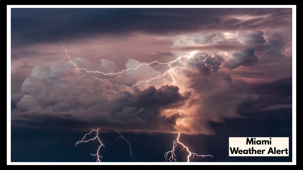
Heads up, Miami! If you’re planning to be out and about on Wednesday, you might want to adjust your plans — especially if you’re not a fan of the summer heat and thunderstorms. Forecasters are predicting a 70% chance of heavy thunderstorms, and it’s not just rain you’ll be dealing with — the heat is expected to be unbearable as well.
Thunderstorms Could Make a Mess of Your Day
This isn’t just another typical Miami afternoon shower. The thunderstorms are expected to start hitting early Wednesday morning around 10 a.m., and the second round is likely to come back just in time for evening rush hour. So, if you’re heading out during that time, be prepared for a soggy commute and possibly some major delays. The rain could be heavy, and there’s even a chance of flash flooding, especially in areas like Brickell, Biscayne Boulevard, and U.S. 1 — spots where water tends to pile up fast.
If you’ve got to be out on the roads, make sure you’re ready for some wet conditions. It’s going to be one of those days when the weather will definitely make you think twice before heading out.
It’s Going to Be Hot — Really Hot
While we’re all used to Miami’s summer heat, this one’s going to be a doozy. Temperatures will climb to the mid-80s, but the humidity is going to make it feel closer to 100°F. So, even if you step outside and the sun’s hiding behind the clouds, that sticky air will hit you like a wall.
Health experts are already warning folks to stay cool, drink plenty of water, and keep an eye on anyone who might be more vulnerable to the heat — especially the elderly or people without access to air conditioning. If you’re outside, pace yourself, find some shade, and avoid the heat during the hottest parts of the day. Trust me, it’s better to be safe than sorry.
Flood Watch in Effect — Be Ready for Possible Travel Disruptions
Here’s the thing: Miami’s low-lying streets don’t handle heavy rain very well. A Flood Watch is in place for both Miami-Dade and Broward counties, and the possibility of flash flooding is very real. We’re talking about 4 to 6 inches of rain in some areas, which could easily overwhelm storm drains and flood out major roadways.
If you’ve got plans to drive, make sure you leave extra time to get where you’re going. Roads like I-95 and SR-836 are likely to get flooded during the worst of it, so be cautious and avoid driving through any standing water — it’s just not worth the risk.
What’s Coming After Wednesday?
Don’t expect the weather to calm down anytime soon. Thursday looks like it will still be rainy, with a 60% chance of storms, and temperatures will stay hot. It looks like we’ll be dealing with these on-and-off storms throughout the week, with more wet weather expected over the weekend. So, if you’re hoping for a sunny weekend, you might need to keep those plans flexible.
What Should You Do Right Now?
-
Stay updated: Keep checking the forecast throughout the day and stay tuned for alerts.
-
Give yourself extra time: If you’re heading out, leave early to avoid being stuck in heavy traffic.
-
Hydrate: Drink plenty of water to keep cool and avoid heat exhaustion.
-
Stay inside during storms: It’s best to avoid going out during the heaviest rain, especially with the possibility of lightning.
This is a typical South Florida summer scenario — a little bit of everything, all packed into one day. Whether it’s the intense storms or the stifling heat, make sure you’re prepared. If you’re planning to head outside, just make sure you’re taking the right precautions.
Don’t let the weather catch you off guard — keep an eye on the sky, charge up your phone, and, most importantly, stay safe out there.
FAQ About Miami Weather Alert
1. What’s the weather going to be like in Miami on Wednesday?
It’s going to be a stormy day, with about a 70% chance of thunderstorms. We’ll likely see rain starting in the morning, and it could get pretty heavy later, especially during evening rush hour. So, if you’re heading out, be prepared for some rain, possible flooding, and maybe some traffic delays.
2. How hot will it get on Wednesday?
It’s going to feel really hot and sticky. Temps will be in the mid-80s, but the humidity will make it feel more like 100°F. If you’re outside, make sure to stay hydrated and take it easy during the hottest parts of the day.
3. Is flooding a concern in Miami on Wednesday?
Yes, there’s a pretty good chance of flooding. Miami-Dade and Broward counties are under a Flood Watch, and we could get 4 to 6 inches of rain in some places. Streets like I-95 and SR-836 are especially prone to flooding, so be extra careful if you need to drive.
4. What should I do to prepare for the weather?
Stay up to date with the weather alerts as things could change. If you’re out and about, leave a little earlier just in case of traffic, and make sure to drink plenty of water to stay cool. And if you see a flooded street, don’t risk it — turn around and find a different route.
5. What’s the weather looking like after Wednesday?
Unfortunately, it looks like the rain will stick around for a bit. Thursday will still bring storms, with a 60% chance of rain, and the heat won’t let up. The weekend doesn’t look much better, so be ready for more humid and rainy days ahead.

