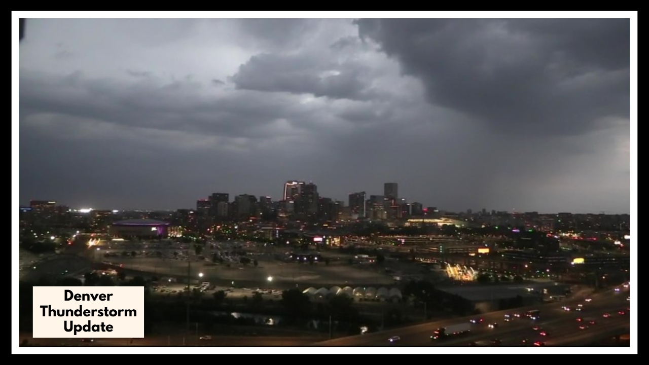
Denver Thunderstorm Update: The Worst Spring Storm in Decades?
Denver Thunderstorm Update: A powerful cold front sweeping through Colorado has kicked off an afternoon of chaos in the Denver metro area. What started as a few dark clouds has turned into one of the most intense weather days we’ve seen in years—bringing hail the size of baseballs, fast-moving floodwaters, and even the threat of tornadoes.
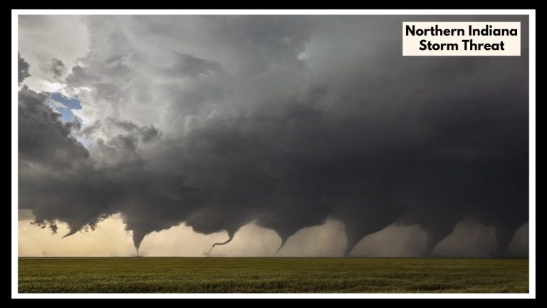
The National Weather Service has placed Denver and much of northeastern Colorado under a tornado watch until 9:00 p.m. MDT. And if you’ve stepped outside or checked your radar, you know this isn’t just a scare. These storms mean business. They’ve already delivered punishing hail, damaging wind gusts, and heavy rain in some areas—and it’s not over yet.
What People Are Seeing on the Ground
You don’t need a weather app to know something serious is happening—just look outside. Thunder’s been rattling windows across town, and the hail? It’s been relentless. In Commerce City, residents were stunned to find hailstones nearly three inches wide—big enough to crack windshields, destroy siding, and leave dents in just about anything left outdoors. It’s the biggest hail Denver County has seen since 1989.
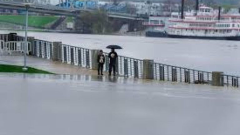
Over in Lakewood, Wheat Ridge, and Edgewater, things are even messier. More than an inch and a half of rain has fallen in just a short time, turning roads into rivers and flooding neighborhoods. Flash flood warnings are in effect, and with more rain expected, the risk is only growing. If water’s rising near you, don’t risk it—turn around and stay safe.
Denver Thunderstorm Update: What You Need to Know Right Now
As evening sets in, conditions are still prime for more severe weather. Denver’s temperatures have dipped into the low 50s, and meteorologists say the storm energy is still strong enough to spark more intense cells—possibly with tornado activity.
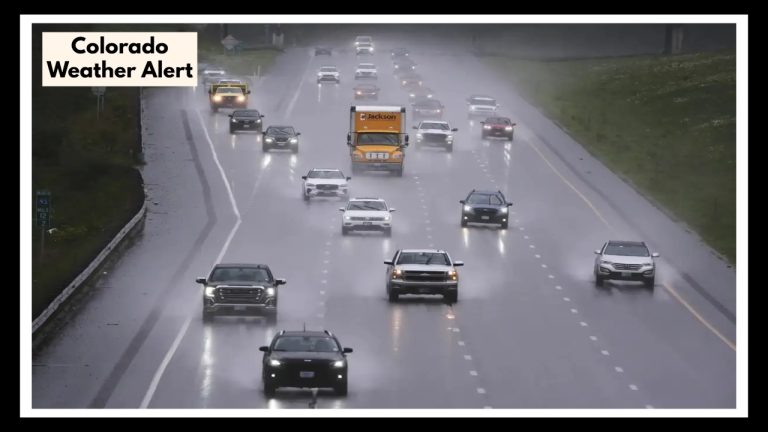
And if you’re flying today, brace yourself. Denver International Airport is seeing weather-related delays, and there are already reports of hail damage to parked cars. Whether you’re headed to a flight or picking someone up, keep tabs on travel alerts and give yourself extra time. Roads across the city are slick and some are beginning to flood.
What You Can Do to Stay Safe
This storm is no joke. If you’re in the path of these systems, now’s the time to act. Here’s what experts are urging people to do:
-
Stay inside, and steer clear of windows until the storm passes.
-
Move your car under cover if you can—hail is causing serious damage.
-
Never drive through standing water. It’s deeper (and more dangerous) than it looks.
-
Use a reliable source—like NOAA Weather Radio or trusted local news—for live updates.
-
Have a plan in case a tornado warning is issued. Know where your safest spot is and get there fast if needed.
Spring storms in Colorado are nothing new—but today’s Denver Thunderstorm Update is a clear reminder of just how unpredictable and destructive our weather can be. This system came in fast and hard, and it’s not done yet. Stay weather-aware, check in on neighbors who might need help, and above all, don’t underestimate this storm.
FAQ About Denver Thunderstorm Update
1. Which parts of Denver are getting hit the hardest right now?
Right now, most of the Denver metro is under a tornado watch until 9:00 p.m., and some areas are really taking a beating. Commerce City has seen massive hail, and places like Lakewood, Wheat Ridge, and Edgewater are dealing with flash flooding. Honestly, no part of the city is totally in the clear yet, so it’s smart to stay weather-aware no matter where you are.
2. How bad is the hail, really?
It’s rough. People have reported hail the size of baseballs—seriously. That’s big enough to smash car windows, dent roofs, and cause some real damage. If you can move your car under cover or stay indoors, do it. This isn’t the kind of storm you want to be caught out in.
3. Are tornadoes actually likely tonight?
There’s definitely a chance. The tornado watch means conditions are right for one to form, and with how unstable the atmosphere is right now, it wouldn’t take much. No one wants to hear the sirens, but it’s important to be ready to act fast just in case a warning goes out. Know where you’d go if you needed to take shelter.
4. Is it safe to drive in this weather?
If you don’t have to be out, don’t risk it. Between the hail, flooding, and low visibility, roads are not in great shape. A lot of streets are already seeing high water, and you’d be surprised how quickly a car can get stuck. If you’re out, take it slow—and if you see standing water, turn around.
5. What can I do to protect myself and my stuff right now?
Here’s the short list:
-
Stay inside and away from windows if storms are nearby.
-
Move your car to a garage or under a solid cover if you can.
-
Don’t drive unless it’s absolutely necessary.
-
Keep your phone charged and alerts turned on.
-
Have a plan for where you’d go if there’s a tornado warning—think basement, interior bathroom, or closet.
It’s one of those days where it’s better to be a little over-prepared than caught off guard.