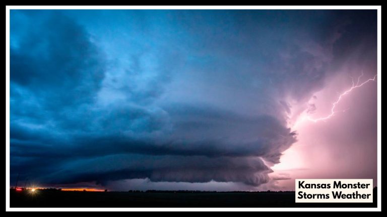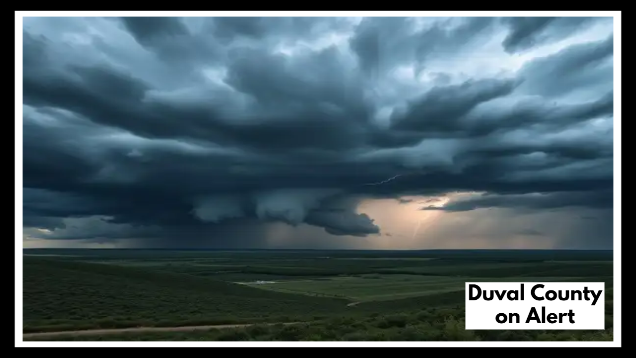
Duval County on Alert: Timing Is Everything as Storms Target Juneteenth Afternoon
Jacksonville, FL — A Duval County Weather Alert is in effect as forecasters track a line of soaking thunderstorms expected to roll through the area on Wednesday, June 19 — right in the middle of Juneteenth celebrations and peak afternoon travel. While the morning may bring some sunshine, the atmosphere is primed for a classic Florida summer setup: hot, humid air meeting the sea breeze, triggering afternoon storms after 2 p.m.
If you have outdoor plans or need to travel along I‑95 on Juneteenth, you’ll want to keep an eye on the sky — and the radar. This stormy setup could cause delays, wet roads, and even cancel some later-day community events.
Why This Duval County Weather Alert Matters
The Duval County Weather Alert isn’t just about rain. These afternoon storms may arrive fast and hit hard, with downpours that reduce visibility, bring standing water to low-lying areas, and even cause minor flooding in spots that typically drain slowly. While the storms likely won’t be severe in terms of wind or hail, they can still create unsafe driving conditions and throw off plans in a hurry — especially along busy corridors like I‑95 and I‑295.
Juneteenth celebrations, many of which are outdoors, could be especially affected in the late afternoon and evening hours. The timing of the storms — likely between 2 and 6 p.m. — makes it tricky for parades, festivals, and evening gatherings. If you’re attending one, try to arrive earlier in the day or check in with organizers for weather updates.
What to Expect and How to Stay Ahead
This is a typical June weather pattern in Northeast Florida: hot daytime highs in the mid‑90s, building moisture, and a sea breeze front triggering daily storms. What makes this one different is the timing — it hits right on a major holiday, when more people are outside and on the road.
Tips to stay safe:
-
Start early: Plan outdoor activities before noon while conditions are calm.
-
Keep a weather app handy: Radar updates are your best friend on days like this.
-
Drive with caution: If you must travel in the late afternoon, watch for pooling water and slick roads.
-
Have a Plan B: Indoor options are a good backup if storms disrupt outdoor gatherings.
FAQ About Duval County on Alert
1. So, what’s the deal with this weather alert?
Basically, we’ve got some slow-moving, soaking storms headed our way Wednesday afternoon — right in the middle of Juneteenth plans. The Duval County Weather Alert is just a heads-up: things could get wet, loud, and messy after 2 p.m., especially if you’re out driving or celebrating.
2. Are Juneteenth events getting rained out?
Hopefully not! A lot of events earlier in the day should be just fine. But if your plans are outdoors and later in the afternoon, you’ll want to stay flexible. Keep an umbrella handy, and maybe check event pages or social media for updates — some might move things indoors if the weather turns.
3. I was planning to hit the road on I‑95 — should I rethink that?
You don’t have to cancel your drive, but try to be smart about timing. Roads could get slick, and heavy rain might slow things down, especially near underpasses or exits. If you can leave before the storms hit, even better. If not, just take it slow and be ready for delays.
4. What’s the move if I want to enjoy the day and stay dry?
Simple: go out early, check the radar before heading out, and have a backup plan. If you’re grilling, maybe bring the party under a carport or porch just in case. Juneteenth is still worth celebrating — just stay weather-aware and roll with the punches.