Eastern NC Weather Turns Dangerous Tonight—Here’s What You Need to Know
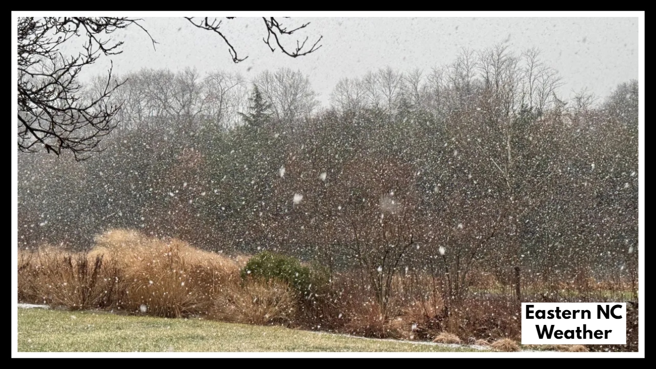
If you live anywhere in Eastern North Carolina, you’ve probably already noticed the dark skies and rising tension in the air. The Eastern NC Storm Threat is real—and it’s not just about a few passing thunderstorms. We’re talking about heavy rain, strong wind gusts, and even the potential for tornadoes—all happening through late tonight.
Forecasters are calling for 4 to 8 inches of rain, which is enough to overwhelm storm drains, flood roads, and back up creeks and rivers that are already running high. This kind of rain, falling over already saturated ground, could lead to flash flooding in a matter of minutes. Emergency crews across the region are already preparing for possible road closures, rescues, and power outages.
What the Eastern NC Storm Threat Means for You
The Eastern NC Storm Threat isn’t just a weather headline—it’s a serious situation that could affect how you get home tonight, whether your power stays on, and even how safe your neighborhood is by morning.
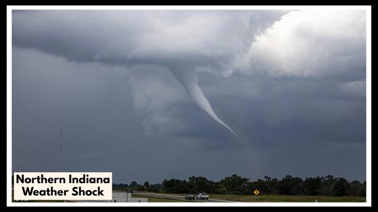
Strong wind gusts—some topping 45 mph—could knock down limbs and trees, damage power lines, and leave homes in the dark. And while tornadoes aren’t guaranteed, the setup tonight is unstable enough that isolated tornadoes are a very real possibility.
If you’re planning to drive, work late, or stay out past dark, think twice. Conditions will likely worsen after sundown, when it’s hardest to spot water on roads or downed trees. This is the kind of night where staying put might be the smartest move.
What to Do Right Now
-
Stay home if you can. Flooded roads at night are extremely dangerous.
-
Charge phones and devices, just in case you lose power.
-
Keep weather alerts on, whether that’s a phone app, weather radio, or TV broadcast.
-
Have a safe room or basement ready in case a tornado warning is issued.
-
Check in on elderly family members or neighbors, especially if they live alone or in flood-prone areas.
This storm may pass by morning, but its effects could stick around well into the week—with flooded roads, water-damaged homes, and power crews working to restore service.
FAQ About Eastern NC Weather
1. Is this storm really that serious, or is it just another summer downpour?
This one’s different. We’re not just talking about a quick shower—4 to 8 inches of rain are expected, and that much water can flood streets fast. On top of that, there’s wind strong enough to knock down trees and even a chance of tornadoes. It’s definitely a night to stay weather-aware and play it safe.
2. I live in Eastern NC—should I be worried about flooding in my area?
If your area has flooded before, it could happen again tonight. This storm is hitting places all across Eastern North Carolina, especially near rivers, creeks, and poor drainage spots. If you’ve got a soggy yard after just a little rain, this storm could bring more trouble. Keep an eye out and have a plan, just in case.
3. What should I do if water starts rising where I live?
First rule: don’t drive through flooded roads—even a few inches can sweep a car away. If water starts creeping up, move valuables to higher ground, stay upstairs if you can, and keep your phone charged. If it feels unsafe, don’t wait—call for help. Better to be cautious now than sorry later.
4. Tornadoes? Seriously? Could that actually happen tonight?
It’s not a guarantee, but yes—there is a risk, especially in the late evening. The setup for tonight’s storms makes it possible for fast-developing tornadoes. You probably won’t get much warning, so make sure you know where your safe spot is—whether it’s a basement, bathroom, or interior room.
5. When will this all be over?
The worst should pass overnight, likely by early morning. But that doesn’t mean everything will go back to normal right away. If roads flood or power lines go down, cleanup and recovery could stretch into tomorrow or longer. Keep your schedule flexible and be ready to help neighbors if they need it.

