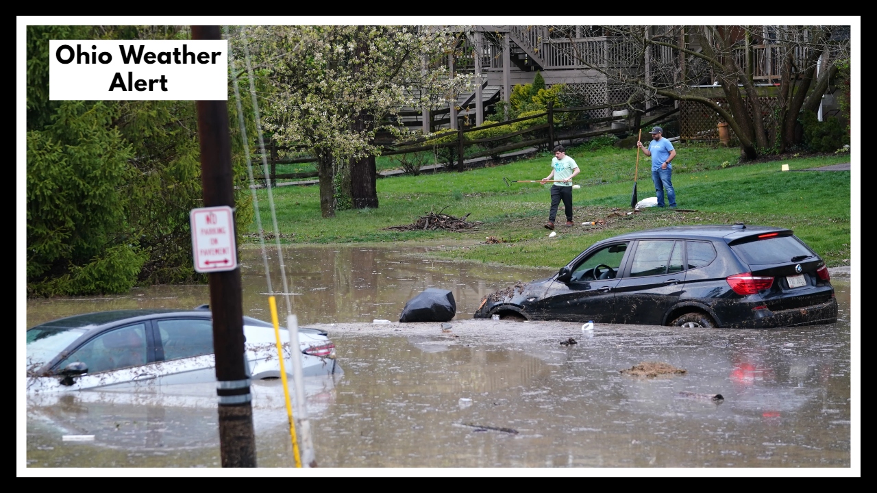
Flash Floods Tonight, Tornadoes Tomorrow? Ohio Weather Alert Has Cincinnati on Edge
If you’re living in or around Cincinnati, you’ve probably already noticed the skies getting darker and the air feeling heavier. The Ohio Weather Alert issued for tonight isn’t just another weather update—it’s a real heads-up that conditions could turn dangerous fast. Heavy rain, flash flooding, and powerful storms are expected to roll through the Tri-State area, with the worst hitting late tonight into early Tuesday morning.
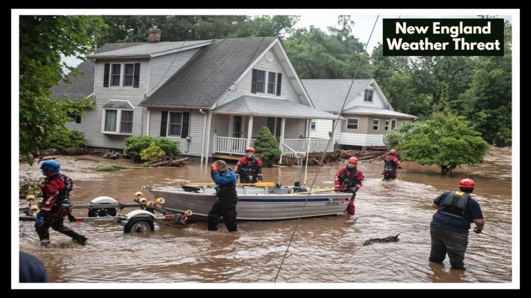
Forecasters are warning of serious flash flood risks—especially in low-lying areas, near creeks, and anywhere the ground is already soaked. With rainfall totals possibly reaching 3 to 6 inches, roads could be underwater before sunrise. Already, parts of southern Ohio and northern Kentucky are seeing street flooding, and things may get worse before they get better.
Ohio Weather Alert: Midweek Storms Could Be Even More Dangerous
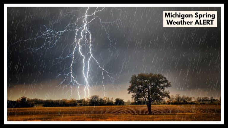
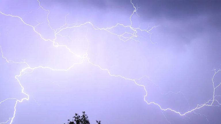
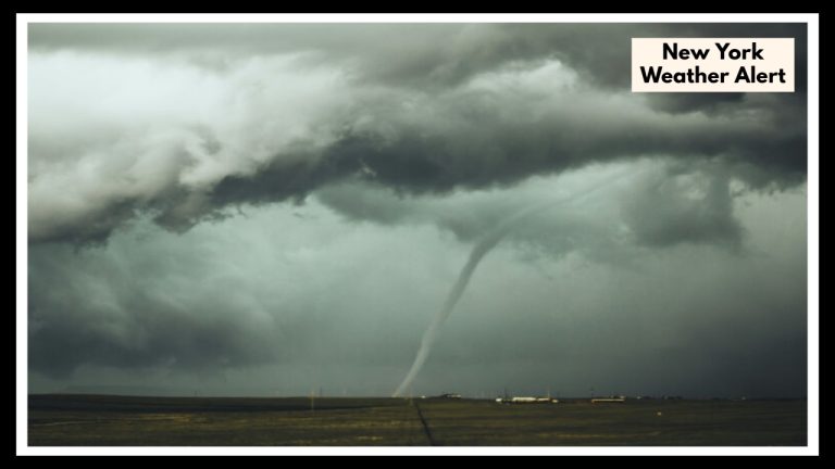
And this is only the beginning. The Ohio Weather Alert continues into midweek, with a stronger storm system heading our way by Wednesday night. That one brings not just more rain—but the possibility of damaging winds, hail, and even isolated tornadoes. It’s the kind of system that can change plans, knock out power, and flood homes in a matter of minutes.
Storms arriving after dark are especially dangerous because most people are off-guard—and emergency services have less time to react. Local emergency management teams are already preparing for back-to-back events that could test the region’s readiness.
What You Can Do Now
-
Stay off roads tonight unless it’s absolutely necessary.
-
Charge phones and enable emergency weather alerts.
-
Move valuables up from basements or garages in flood-prone zones.
-
Keep an eye out for changing conditions—creeks rising, thunder in the distance, or alerts on your device.
This week’s weather isn’t just about inconvenience—it’s about safety. Take the Ohio Weather Alert seriously, and you’ll be ready for whatever’s coming next.
FAQ About Ohio Weather Alert
1. What’s really going on with this Ohio Weather Alert?
Think of it as your heads-up: we’re in for a double dose of rough weather. First, heavy rain could cause flash flooding tonight—especially in the Cincinnati and Tri-State areas. Then, midweek, we’re looking at strong storms that might bring damaging winds or even a tornado or two. It’s not panic time—but it is time to be ready.
2. Who should be most concerned right now?
If you live in or near Cincinnati, or anywhere east of I-75 into northern Kentucky, pay close attention. These areas are most at risk for flash flooding tonight. By Wednesday, the storm threat could expand across much of southern and central Ohio—so really, we all need to stay alert.
3. Could the flooding actually be serious?
Yes, it could. Some spots might see 3 to 6 inches of rain in just a few hours. That’s more than enough to flood roads, basements, and low-lying yards. If your area tends to flood during heavy rain, this is one of those times to stay put and stay prepared.
4. Are tornadoes actually possible, or just a long shot?
They’re not guaranteed—but yes, there’s a real chance by Wednesday night. The forecast shows conditions that could produce a few isolated tornadoes. It’s especially important to stay alert after dark, when it’s harder to see what’s coming. Keep your alerts on just in case.
5. What should I be doing right now to prepare?
Start with the basics:
-
Charge your phone and keep a flashlight handy.
-
Bring in anything outdoors that could blow around.
-
Don’t drive through standing water—it’s not worth the risk.
-
And check in with friends or family who might need help getting ready.
Staying ahead of the storm is the best way to stay safe.