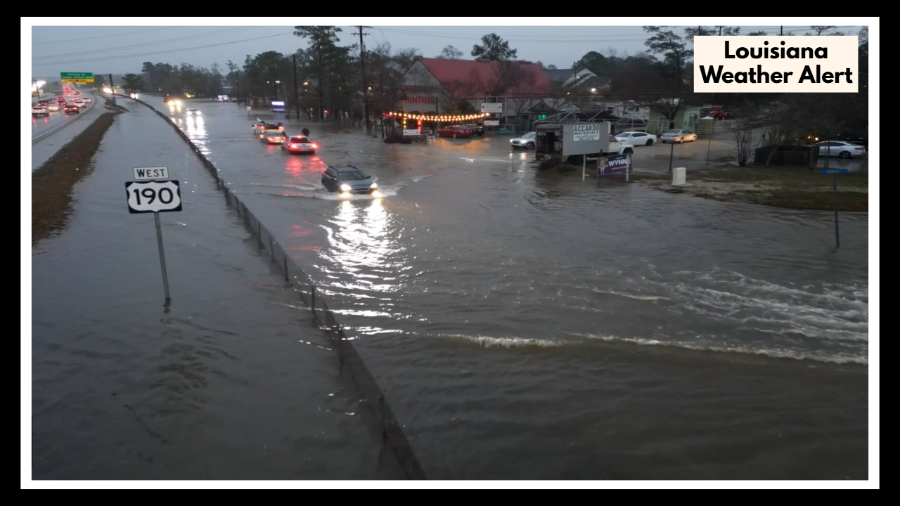
Flood Threat Before Breakfast? Louisiana Weather Alert Warns of I‑10 Trouble Thursday Morning
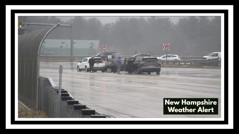
New Orleans, LA — Thursday’s commute could get messy fast. According to the latest Louisiana Weather Alert, thunderstorms and heavy rainfall are expected to roll into the New Orleans area before 10 a.m., bringing the potential for water-covered roads, traffic delays, and low visibility along key routes — especially Interstate 10.
If you’re used to easing into the day with a smooth morning drive, you may want to rethink your timing. Weather experts are urging commuters to prepare for wet and slick roads, particularly where drainage is slow or surfaces are uneven. Even a quick burst of rain — and forecasters say we could see 1 to 2 inches in a short span — is enough to cause street flooding in the city.
Why This Louisiana Weather Alert Shouldn’t Be Ignored
This isn’t your usual scattered afternoon shower. The Louisiana Weather Alert highlights a high chance of thunderstorms developing during the morning rush, when many drivers will be heading into work or school. These storms are expected to deliver short, intense rainfall that can overwhelm drainage systems, especially near low points on I‑10 and older city roads.
In addition to heavy rain, gusty winds could push rain sideways and reduce visibility — not a great combo for commuters navigating bridges, tunnels, or exits during peak traffic.
What You Can Do Right Now
-
Head out early if you can — roads may be clearer before the storms hit full force.
-
Avoid flooded areas, especially dips in the road or highway exits that commonly flood.
-
Take it slow, even if you’re running late. Hydroplaning risks rise fast with even a half-inch of water.
-
Stay tuned to local weather updates from the National Weather Service or local outlets.
Things should settle down by mid to late morning, with the storms expected to clear out slowly. The rest of Thursday looks humid but calmer. Still, the Louisiana summer storm cycle isn’t over, and similar alerts may pop up over the next few days — especially in the mornings.
FAQ About Louisiana Weather Alert
1. When should I expect the worst of the rain on Thursday morning?
You’ll want to keep an umbrella handy early. The heaviest showers and possible storms are expected before 10 a.m., most likely between 7 and 9 a.m. That’s right during the morning rush, so it’s a good idea to give yourself extra time or head out a little earlier if you can.
2. Is this going to cause flooding, or just a quick rain?
It’s more than just a passing drizzle. We could see 1 to 2 inches of rain in a short burst, which may not sound like much — but in New Orleans, that’s enough to cause water to back up in low spots and along I‑10. Street flooding is a real possibility, especially during peak traffic hours.
3. I take I‑10 to work — should I be worried?
Not necessarily, but you should be cautious. If the rain hits hard during your drive, slow down, keep your headlights on, and steer clear of big puddles — they can hide potholes or be deeper than they look. If you’re able to leave a little earlier or wait until after the storms pass, that’s your safest bet.
4. Does it get better later in the day, or is this an all-day mess?
Thankfully, this storm is a morning problem. By late morning or lunchtime, things should start clearing up. You might still get some lingering clouds or light drizzle, but the worst of it should be out of the way by the time you’re heading home.
5. I’ve got errands to run and kids to drop off — should I stay home?
No need to cancel everything, but it’s smart to build in some flexibility. Try to run errands after the rain moves out, if possible. And if you’re dropping kids off in the rain, just plan for slower traffic and bring rain gear. Staying patient and prepared will go a long way.