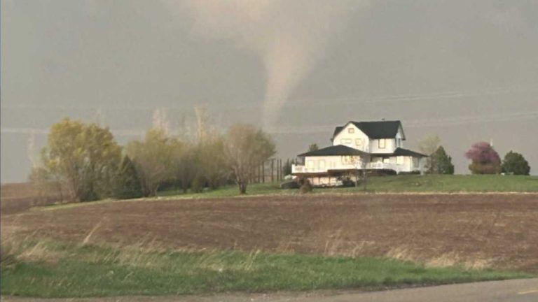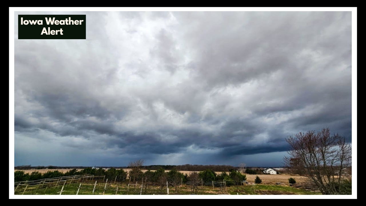
Iowa Weather Alert: Thunderstorms and Breezy Winds Set to Disrupt Your Thursday
If you’re near Geneseo, Illinois, or Manchester, Iowa, just a quick heads-up for your Thursday afternoon: there’s an Iowa Weather Alert in place. It’s not expected to be a big storm or anything super scary, but scattered thunderstorms could roll through between about 2 and 7 PM. Plus, the wind will pick up a bit—gusts up to 30 mph—which might make things a little tricky if you’re driving or hanging outside.
What’s Going On With This Iowa Weather Alert?
The alert covers eastern Iowa and northwest Illinois, so if you’re in or around Geneseo or Manchester, keep an eye on the sky. These storms might bring some heavy rain for a few minutes, a little lightning, and maybe some small hail here and there. The gusty winds could also blow loose stuff around, so watch out for anything that might get knocked over.
It’s not a major storm system, but it’s enough to pay attention to and maybe shift your plans if you need to.
How to Stay Safe and Ready
If you’ll be outside Thursday afternoon, just stay aware. Check the weather updates every now and then, and if a storm looks like it’s coming your way, find shelter indoors. It’s a good idea to put away or secure anything outside that could get blown around by the wind — things like patio chairs, trash cans, or garden tools.
This Iowa Weather Alert isn’t cause for alarm, but playing it safe never hurts.
What Happens After Thursday?
The good news? Once these storms move on Thursday evening, Friday is shaping up to be warm and breezy, with temperatures climbing into the mid-80s. The weekend looks even better, with mostly sunny skies and nice temperatures in the upper 70s—perfect for getting outdoors and enjoying some fresh air after the rain.
FAQ About Iowa Weather
1. What exactly is this Iowa Weather Alert about?
This alert means there’s a chance of scattered thunderstorms near Geneseo, Illinois, and Manchester, Iowa, on Thursday afternoon. Along with the storms, breezy winds up to 30 mph are expected, so it’s a good idea to stay aware of changing weather.
2. When will these storms likely happen?
The storms are most likely to develop between about 2 PM and 7 PM on Thursday. That’s when you should especially watch the sky and keep an eye on local weather updates.
3. How strong will the winds be during the storms?
Winds could gust up to 30 miles per hour. While that’s not extreme, it’s strong enough to blow around loose objects and make driving a bit more challenging, especially on open roads.
4. What should I do to stay safe during these storms?
If you’re outside when storms approach, it’s best to head indoors. Secure any outdoor items that could blow away, keep checking the weather updates, and if you’re driving, slow down and be extra cautious.
5. What will the weather be like after Thursday?
After the storms pass Thursday evening, expect a warm and breezy Friday with temperatures in the mid-80s. The weekend looks sunny and pleasant, with highs in the upper 70s—great for outdoor plans.