Kansas Thunderstorm Hazard: Wichita Faces Late Storms Tuesday, More Rain Through Saturday
A round of thunderstorms could hit the Wichita area late Tuesday, signaling the start of a soggy stretch that will last through Saturday. According to the National Weather Service in Wichita, isolated storms may begin Tuesday evening, with temperatures ranging from 78 to 81 degrees. The system will linger across central, south-central, and southeast Kansas, with daily chances of off-and-on thunderstorms through the weekend. Highs will fall midweek, dropping to the mid-60s by Friday.
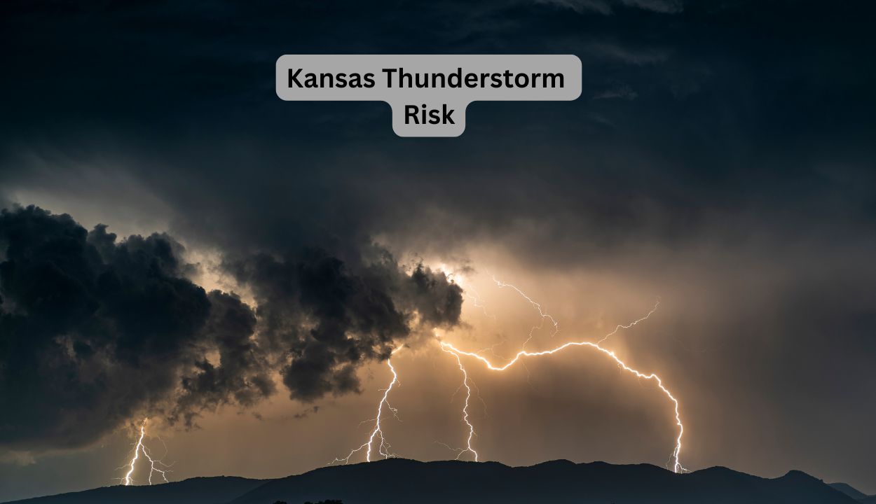
Stronger cells can cause localized floods, lightning, and short wind gusts, particularly afternoons and evenings. Cities like Hutchinson, Winfield, and El Dorado may also get numerous bouts of rain.
Residents should watch for potential flood warnings and be prepared for icy roads during commutes. Officials urge remaining weather-aware and keeping electronics charged in case of power interruptions. The unsettled trend is forecast to linger until Saturday, with another NWS report coming by Thursday. Additional watches or alerts may be issued if storms approach.