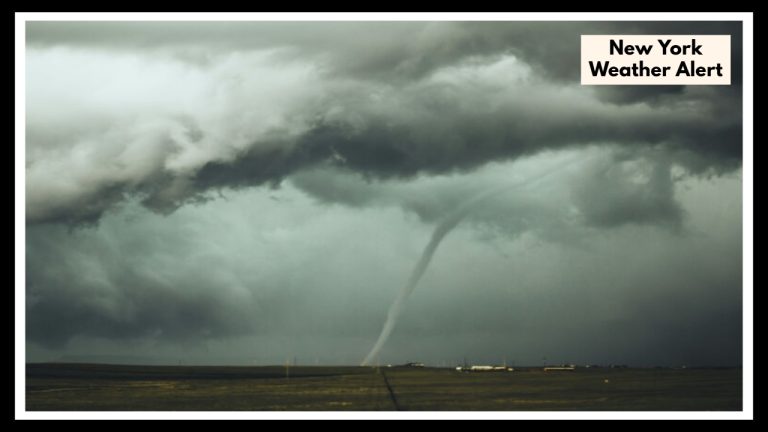
Maryland Thunderstorm Alert: What You Need to Know Before It Hits Tonight
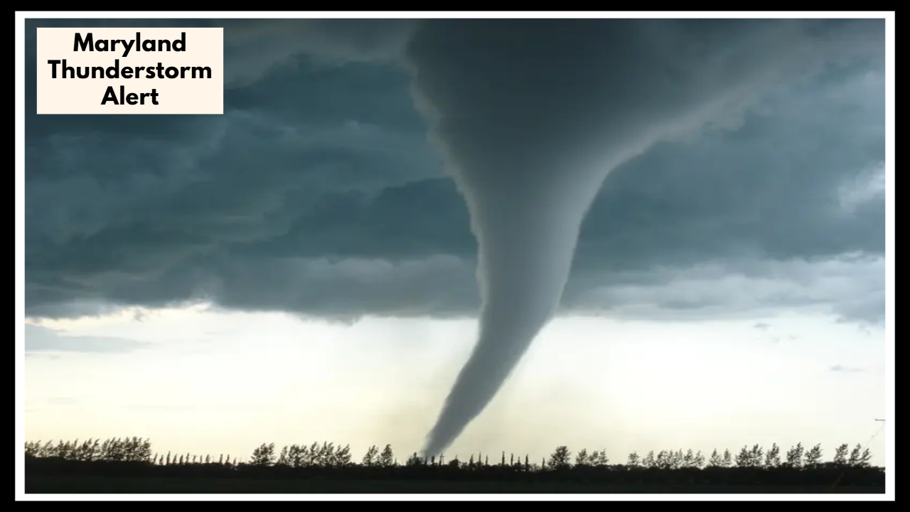
A Maryland Thunderstorm Alert is in effect across Central Maryland, and it’s not something to take lightly. As we head into Monday afternoon and Tuesday evening, a strong storm system is expected to bring some serious weather—think heavy rain, damaging winds, hail, and even the possibility of tornadoes. If you’re in areas like Baltimore, Columbia, or Annapolis, now’s the time to keep your eye on the sky and your weather apps close.
What to Expect as the Storm Moves In
This storm system is slow-moving, but it’s packing a punch. With warm, humid air in place and a cold front moving through, the ingredients are all there for severe thunderstorms. The Maryland Thunderstorm Alert includes a warning for wind gusts up to 60 mph, hail that could dent cars and damage roofs, and downpours strong enough to trigger flash flooding—especially in lower-lying neighborhoods and busy roadways.
Most of the severe weather is expected between 2 PM and 10 PM on Monday, with another round possible on Tuesday afternoon into the evening. Some areas could see multiple rounds of storms with short breaks in between, so staying alert throughout the day is key.
Why This Weather Event Deserves Your Attention
Maryland sees storms like this from time to time, but this system is especially unpredictable. Conditions could shift quickly, and the mix of wind, hail, and heavy rain increases the chance of damage to homes, vehicles, and power lines. Flash flooding is also a real concern, especially for those living in urban areas with poor drainage.
How to Stay Safe and Ready
-
Stay indoors when storms hit. Avoid windows, and shelter in a safe part of your home.
-
Don’t drive through flooded streets. Turn around—don’t risk it.
-
Bring in anything that could blow away. Lawn chairs, umbrellas, garden tools—secure them all.
-
Keep your phone charged. In case of a power outage, you’ll want a way to stay informed.
-
Track the storm. Local news, weather apps, and NOAA alerts can give you real-time updates.
Looking Ahead
The storm should move out by late Tuesday night, and we’ll get a short break in the weather. But keep in mind, spring storm season is just getting started here in Maryland. Expect more active days ahead—this might just be the beginning.
FAQ About Maryland Thunderstorm Alert
1. Who’s in the path of this storm?
If you’re in Central Maryland—think Baltimore, Columbia, Annapolis, or nearby areas—you’re right in the storm’s target zone. Even if you’re just outside these cities, it’s still a good idea to stay alert. This system is pretty wide-reaching and could shift a bit as it moves.
2. When should I be most concerned?
Keep a close eye on the skies starting Monday afternoon. The worst of it is expected between 2 PM and 10 PM, but don’t let your guard down—storms could linger or return Tuesday afternoon into the evening.
3. What kind of weather are we talking about?
We’re looking at a mix of potentially dangerous conditions: strong winds, hail big enough to cause damage, torrential rain, and yes, there’s even a chance for an isolated tornado or two. Flash flooding is also something to watch for, especially in places where water tends to collect quickly.
4. What should I do to stay safe?
When the storms move in, head indoors—preferably somewhere away from windows. Avoid driving if you can, especially if the roads are wet or flooded. If you’ve got outdoor furniture or anything that could blow around, bring it in. And definitely make sure your phone’s charged in case the power goes out.
5. Is this just a one-time thing, or should I expect more?
Once this system clears out Tuesday night, we’ll get a bit of a breather. But keep in mind, storm season is far from over. More unsettled weather could roll through later this week or next. It’s a good time to stay weather-aware and have a plan ready, just in case.