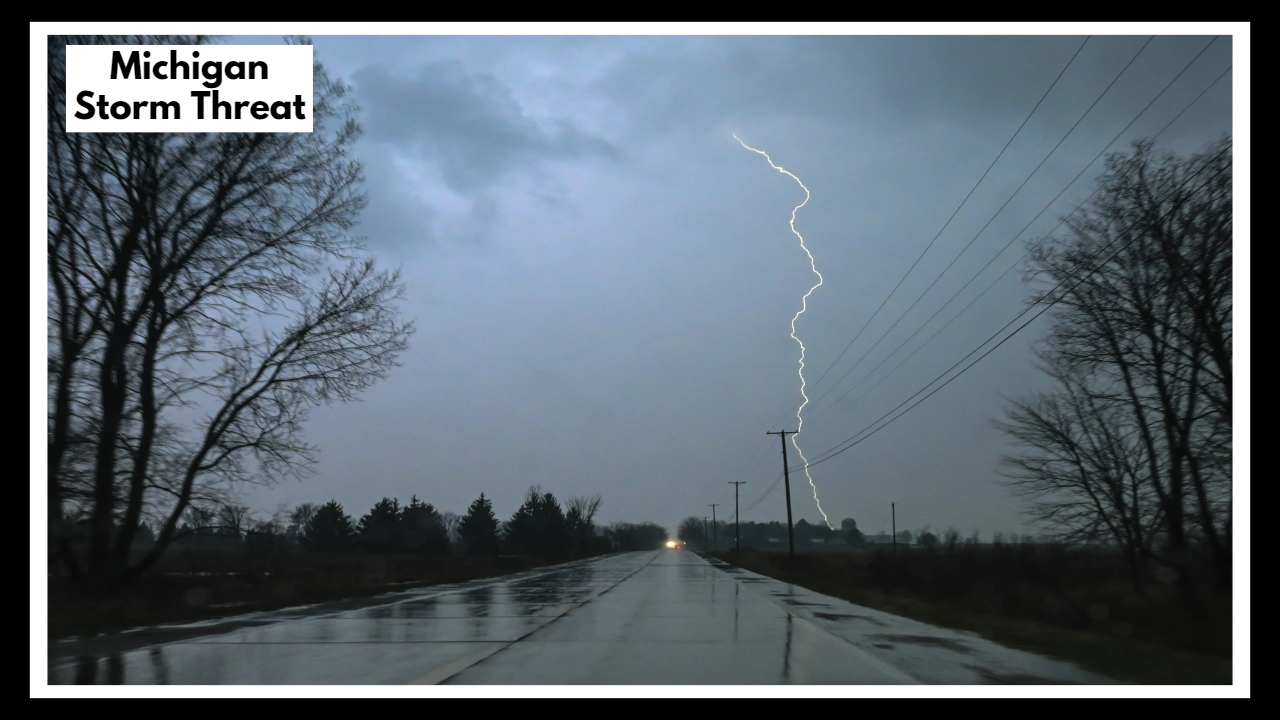
Michigan Storm Threat: Damaging Winds and Hail Incoming — Timing and Maps Inside
Heads up, Michigan — we’ve got an active weather evening ahead. The Michigan Storm Threat is building for Monday, June 23, with strong to severe thunderstorms expected to roll through parts of the state from mid-afternoon into the night. The most intense storms are likely between 3 p.m. and midnight, bringing the chance for damaging wind gusts, hail, and plenty of lightning.
If you live in the northern half of the Lower Peninsula or the Upper Peninsula, this is a good time to double-check your weather app, adjust any outdoor plans, and stay alert.
What’s Actually Headed Our Way?
This isn’t just another rumble of thunder. The Michigan Storm Threat is tied to a cold front pushing across the region — a setup that often triggers fast-moving storms. Forecasters are warning that some of these storms could get intense quickly, especially in places like Traverse City, Marquette, Alpena, and Gaylord.
Here’s what to expect:
-
Strong winds, possibly up to 60 mph — enough to knock down limbs and toss around anything that isn’t tied down
-
Hail, potentially up to an inch in diameter
-
Heavy downpours that can quickly flood low spots and reduce visibility on the roads
-
Lots of lightning, making it dangerous to be out hiking, boating, or even at a ball game
Southern Michigan will likely stay on the quieter side, but a few scattered storms can’t be ruled out there either.
Michigan Storm Threat: Stay Aware, Stay Safe
We get it — summer storms are nothing new. But that doesn’t mean they aren’t serious. The right gust of wind at the wrong time can knock out power, close roads, or leave you stuck driving through flooded streets. If you’re planning to be outdoors late this afternoon or evening, now’s the time to think ahead:
-
Wrap up yardwork early
-
Keep your phone charged
-
Bring pets inside
-
And keep an eye on radar after 2 or 3 p.m.
The good news is, once these storms pass, we’ll get a break. Tuesday and Wednesday are shaping up to be much calmer, with lower humidity and clearer skies.
But until then, the smart move is to treat the Michigan Storm Threat seriously — just in case your neighborhood is one of the spots that gets hit.
FAQ About Michigan Storm Threat
1. When should I actually start paying attention to these storms?
You’ll want to start keeping an eye on the sky by around 3 p.m. Monday. That’s when storms could start firing up, especially in northern Michigan. Things could stay active all the way through midnight, so if you’ve got evening plans, stay flexible and check the radar.
2. Is this going to hit where I live, or is it more up north?
If you’re in the northern part of the Lower Peninsula or the U.P., you’re right in the zone for the strongest storms. Towns like Traverse City, Gaylord, Alpena, and Marquette are most at risk. Folks farther south might just see some scattered rain or rumbles of thunder, but it’s still worth staying alert.
3. Are these storms something to really worry about?
They could be. These aren’t just light showers — we’re talking wind gusts strong enough to knock out power or take down small branches, and hail that could damage your car or plants. Lightning is also a concern, especially if you’re out boating, hiking, or working outside.
4. I’ve got outdoor stuff planned Monday night — should I cancel it?
If you’re up north, it’s a good idea to at least have a backup plan indoors. Even if it looks nice in the morning, things can change fast later in the day. You don’t want to be caught outside when strong winds or hail roll through.
5. What should I do to prepare, just in case it gets bad?
A few small steps can make a big difference:
-
Make sure your phone’s charged and alerts are turned on.
-
Bring in any loose outdoor stuff that could blow away.
-
Keep pets indoors once the sky starts to darken.
-
And if you’re driving, be ready for sudden heavy rain or debris on the road.