Michigan Under Storm Alert: Strong Winds, Hail, and Rain Through Friday—Are You Ready?
Michigan is in for a wild ride weather-wise, so it’s time to get prepared. The Michigan Storm Update is out, and it looks like Thursday evening is when the storms will roll in. If you’re in Michigan, especially along the I-75 corridor, you’ll want to keep an eye on the forecast—there are strong winds, heavy rain, and even the possibility of hail on the way. If you’ve got plans or travel on the books, now’s the time to think about a backup plan, because things could get a little messy.
What You Need to Know:
Thursday Evening (May 15):
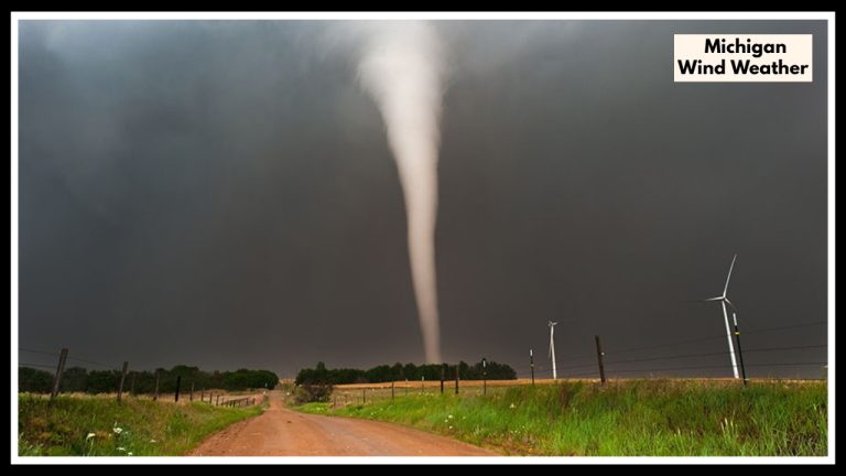
Thursday may start off calm enough, but things will quickly take a turn as the evening approaches. A cold front is moving in, bringing thunderstorms from west to east across Michigan. These storms won’t last too long, but they could still pack a punch. The National Weather Service has issued a slight risk for severe weather, meaning you could see strong winds, hail, and possibly even a tornado or two. The worst of it is expected between 6 PM and midnight, so if you’re heading out in the evening, it’s a good idea to keep your plans flexible and stay updated.
Friday (May 16):
By Friday, the storm will be moving out, but that doesn’t mean you’ll get a break. You’ll still see some scattered showers and gusty winds, making it feel much cooler than usual for mid-May. Temperatures will stay in the 50s and 60s, so if you’re planning to be outside, it’s going to be a chilly, wet day. Don’t expect the sun to come out anytime soon.
How This Could Affect You:
Travel:
If you’re driving during the storm, expect visibility to be reduced from rain and gusty winds. The roads could get slippery, and high-profile vehicles, like trucks and RVs, will be at a higher risk of being impacted by the strong winds. It’s best to slow down, stay cautious, and plan for potential delays.
Outdoor Activities:
Thursday night’s storms could definitely put a damper on outdoor plans. Make sure to secure any outdoor furniture, umbrellas, or decorations before the winds pick up—they could get blown away otherwise. If you’re hosting an event, consider moving it indoors or having a backup location just in case the weather turns on you.
Property and Safety Concerns:
The combination of strong winds and heavy rain could cause damage to gardens, trees, and outdoor structures. If you have anything outside that could be blown away, take a few minutes to secure it. And if you’re in an area that’s prone to flooding, make sure to stay extra cautious—especially with the potential for heavy rainfall.
What You Can Do to Stay Safe:
Stay Informed:
The weather can change quickly, so it’s important to stay updated. Keep your phone charged and make sure you have access to weather alerts, whether through an app or your local news station. The more you know, the easier it will be to adjust your plans.
Secure Outdoor Items:
If you have anything outside that could be affected by the wind, now’s the time to secure it. Bring in or tie down anything lightweight—patio furniture, trash cans, or garden decorations. It’ll only take a few minutes, but it can save you from a lot of trouble later.
Drive Carefully:
If you’re out driving, especially during the peak of the storm, slow down and take it easy. The strong winds and rain will make the roads slippery, and it’s important to be extra careful, especially if you’re in a high-profile vehicle. If conditions get too bad, don’t hesitate to pull over and wait it out until the worst passes.
Have a Backup Plan:
If you have outdoor plans—whether it’s a BBQ, a gathering, or an evening out—make sure you have an indoor option ready. It’s better to have a backup in mind just in case the weather doesn’t cooperate.
When to Expect the Worst:
The storms are expected to be the most intense between 6 PM and midnight on Thursday. If you’re planning to be outside or on the road during this time, be sure to keep an eye on the weather and adjust your plans if needed.
FAQ About Michigan Storm
1. What kind of weather should I expect on Thursday evening?
Thursday evening will bring thunderstorms to Michigan, particularly between 6 PM and midnight. These storms may include strong winds, heavy rain, and potentially hail. The National Weather Service has issued a slight risk for severe weather, so you could also see gusts that could cause damage and, in rare cases, even a tornado.
2. What’s the weather forecast for Friday, May 16?
On Friday, the storms will have moved out, but you’ll still experience cooler-than-usual temperatures with highs in the 50s and 60s. Expect scattered showers and gusty winds throughout the day, making it a chilly and wet day, so prepare for possible disruptions to outdoor activities.

