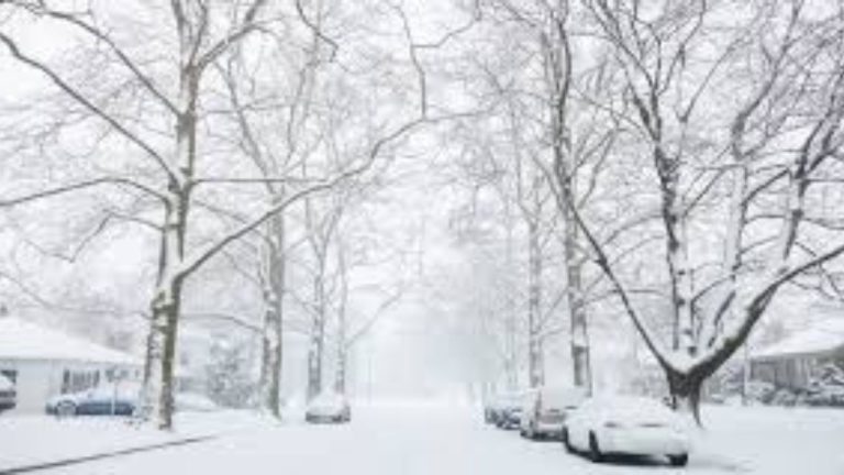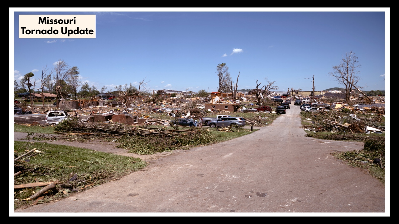
Missouri Tornado Update: 100 MPH Winds, 4 Twisters, and a Whole Lot of Damage
If you were in Missouri late Monday night, you probably heard the winds howling—and for some communities, those winds turned into something far more dangerous. The Missouri Tornado Update from the National Weather Service confirms that four tornadoes touched down between late Monday and early Tuesday, bringing 100 mph winds and damage to homes, trees, and infrastructure across parts of Missouri and southern Illinois.
These storms weren’t just isolated bursts of weather. They were part of a massive system sweeping across the Central U.S., affecting millions. From Maxwells Mill to Prairie du Rocher, each tornado left its mark. Though none were above an EF-1 on the Enhanced Fujita scale, the speed and spread of these twisters made for a nerve-wracking night for many Missourians.
In the heart of this Missouri Tornado Update, it’s clear these tornadoes serve as a reminder of how quickly conditions can turn. The one near Iron Mountain Lake carved a path over four miles long. Another near Ste. Genevieve, while smaller, still packed 85 mph winds—enough to rip through trees and scatter debris.
As we head into peak storm season, the takeaway is simple: preparation matters. From keeping an emergency kit handy to knowing where your safest shelter spot is, a few small actions can make all the difference when the sirens go off.
FAQ About Missouri Tornado Weather
1. Wait—where did these tornadoes actually hit?
They touched down in a few spots you might know: one near Maxwells Mill, another in Ste. Genevieve County, and a longer one that traveled from Iron Mountain Lake to Bismarck. There was also one just across the river in Prairie du Rocher, Illinois. If you’re from those areas, you probably saw the mess it left behind.
2. Were they really that bad?
They weren’t the kind that completely level buildings, but they were nothing to take lightly. One packed winds around 100 mph—which is more than enough to rip up trees, damage roofs, and toss debris around. Even the smaller ones caused trouble.
3. Why was this Missouri Tornado Update such a big deal?
Because these storms came out of a huge system rolling through the central U.S. The setup was just right for tornadoes to form quickly, and when that happens, the weather service wants people to get the message fast—before things go sideways.
4. What should I be doing right now to stay safe?
Now’s a great time to make sure you’re ready. Have a go-to spot in your house where you’ll be safe if a warning comes—like a basement or an interior bathroom. Keep a few basics nearby too: flashlight, water, phone charger, batteries. And please—don’t wait for the sky to turn black before taking alerts seriously.
5. Is this all over, or should we expect more storms?
Hate to say it, but we’re probably not done just yet. That weather system’s still moving, and more rough weather could pop up midweek. So even if things seem calm, it’s worth keeping one eye on the forecast, just in case.