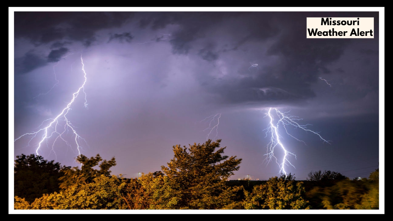
Missouri Weather Alert: What You Need to Know About Tonight’s Dangerous Storms
If you’re anywhere between Kansas City and Columbia, listen up — there’s a Missouri Weather Alert you’ll want to keep on your radar. A pretty strong storm system is rolling in, bringing heavy rain, strong winds, and a real chance of flash flooding through Wednesday morning. This isn’t just some light drizzle; it could cause flooding and even damage in certain spots.
Here’s What’s Going On
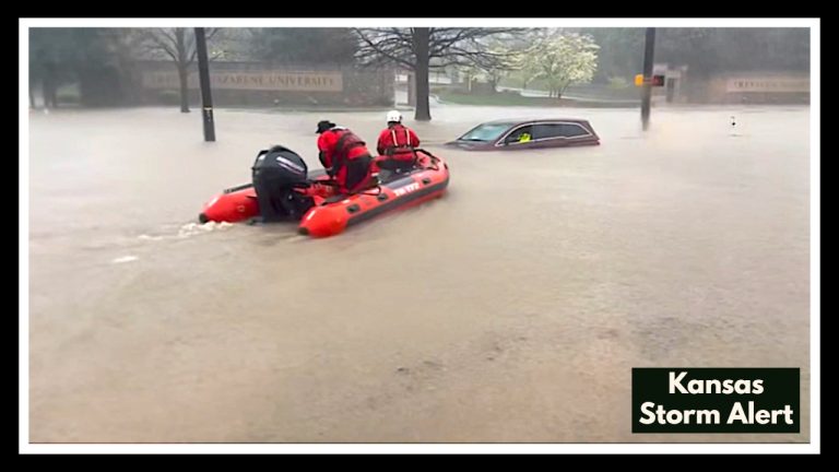
Over the next day or so, some places could get slammed with as much as four inches of rain. That’s a lot of water coming down fast, and it can quickly overwhelm rivers, creeks, and storm drains. So, flash flooding is definitely a risk, especially if you live in low-lying areas or near waterways. Plus, the storms might bring wind gusts up to 65 mph and hail about the size of a quarter — so it could get pretty intense.
Cities like Kansas City, Columbia, Jefferson City, and Sedalia will be in the thick of it. If you have to drive on highways like I-70 or Highway 63, please be extra cautious. Flooded roads and poor visibility can make driving really dangerous, especially during busy times.
How to Stay Safe and Prepared
Flash floods can happen in a flash — literally — so keep an eye on weather updates. And please, don’t try to drive through flooded roads. Even a little water can sweep your car off the road. If you have outdoor furniture or anything that could blow away, bring it inside or tie it down. Charge your phone, have flashlights or candles ready, and prepare in case the power flickers or goes out.
If your home is in a flood-prone area, have a plan ready so you can get to higher ground quickly if you need to. These storms and heavy rains will stick around through Wednesday morning, so don’t let your guard down just yet.
Stay safe and keep checking the National Weather Service or your local news for the latest updates.
FAQ About Missouri Weather
Q1. How bad is this storm really going to be between Kansas City and Columbia?
It’s shaping up to be pretty rough. We’re talking heavy rain—maybe four inches or so—plus some strong winds that could really howl, and even hail about the size of a quarter. The biggest worry? Flash flooding, especially if you’re near low spots or creeks.
Q2. Who should be most worried about flooding?
If your home’s close to rivers, creeks, or tends to flood easily, keep an eye out. Cities like Kansas City, Columbia, Jefferson City, and Sedalia are definitely in the mix, so be ready just in case.
Q3. Is it okay to drive in this weather?
Honestly, if you can wait it out, that’s safest. Flooded roads and bad visibility can catch you off guard. And a big rule—never drive through water on the road, even if it looks shallow. It’s way riskier than it seems.
Q4. What’s the best way to get ready for these storms?
Charge your phone, grab some flashlights or candles, and bring any outdoor stuff inside or tie it down. And if flooding’s been a problem where you live before, have a quick plan for getting to higher ground just in case.
Q5. How long is this Missouri Weather Alert going to last?
Expect these storms and heavy rain to stick around until at least Wednesday morning. Keep checking the weather and stay safe until it passes.